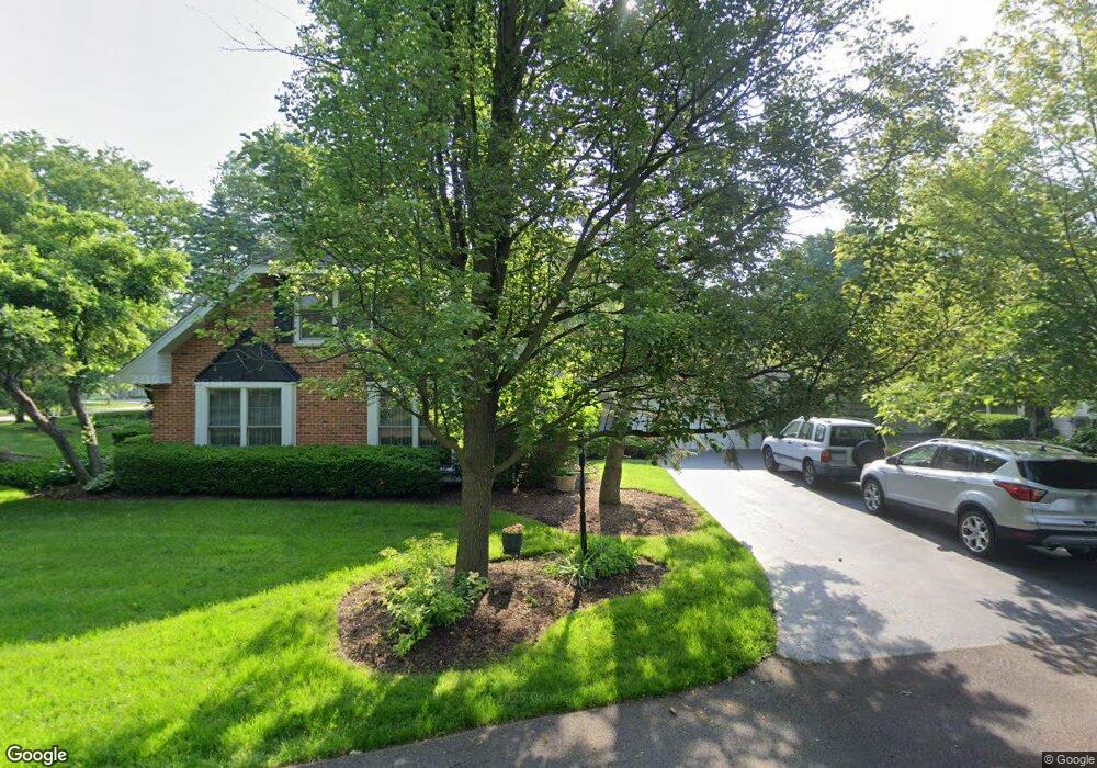
1 Fieldstone Rd Unit 2 Rolling Meadows, IL 60008
Creekside NeighborhoodEstimated Value: $555,000 - $678,000
4
Beds
3
Baths
2,376
Sq Ft
$267/Sq Ft
Est. Value
About This Home
This home is located at 1 Fieldstone Rd Unit 2, Rolling Meadows, IL 60008 and is currently estimated at $635,239, approximately $267 per square foot. 1 Fieldstone Rd Unit 2 is a home located in Cook County with nearby schools including Central Road Elementary School, Plum Grove Jr High School, and William Fremd High School.
Ownership History
Date
Name
Owned For
Owner Type
Purchase Details
Closed on
Mar 17, 1995
Sold by
Kostka David A and Kostka Deborah L
Bought by
Nicholas Eric B and Nicholas Susan M
Current Estimated Value
Home Financials for this Owner
Home Financials are based on the most recent Mortgage that was taken out on this home.
Original Mortgage
$228,400
Interest Rate
8.42%
Create a Home Valuation Report for This Property
The Home Valuation Report is an in-depth analysis detailing your home's value as well as a comparison with similar homes in the area
Home Values in the Area
Average Home Value in this Area
Purchase History
| Date | Buyer | Sale Price | Title Company |
|---|---|---|---|
| Nicholas Eric B | $285,500 | -- |
Source: Public Records
Mortgage History
| Date | Status | Borrower | Loan Amount |
|---|---|---|---|
| Closed | Nicholas Eric B | $228,400 |
Source: Public Records
Tax History
| Year | Tax Paid | Tax Assessment Tax Assessment Total Assessment is a certain percentage of the fair market value that is determined by local assessors to be the total taxable value of land and additions on the property. | Land | Improvement |
|---|---|---|---|---|
| 2025 | $12,154 | $58,001 | $11,226 | $46,775 |
| 2024 | $12,154 | $41,813 | $9,499 | $32,314 |
| 2023 | $11,670 | $41,813 | $9,499 | $32,314 |
| 2022 | $11,670 | $41,813 | $9,499 | $32,314 |
| 2021 | $10,983 | $35,459 | $6,044 | $29,415 |
| 2020 | $10,886 | $35,459 | $6,044 | $29,415 |
| 2019 | $11,204 | $40,481 | $6,044 | $34,437 |
| 2018 | $10,967 | $36,191 | $5,612 | $30,579 |
| 2017 | $10,762 | $36,191 | $5,612 | $30,579 |
| 2016 | $11,409 | $39,874 | $5,612 | $34,262 |
| 2015 | $10,137 | $33,693 | $5,181 | $28,512 |
| 2014 | $9,936 | $33,693 | $5,181 | $28,512 |
| 2013 | $10,676 | $36,914 | $5,181 | $31,733 |
Source: Public Records
Map
Nearby Homes
- 3 Holyoke on Auburn
- 399 Knollwood Ct
- 3345 Kirchoff Rd Unit 5C
- 86 Brookdale Ln
- 3000 California Ave
- 2650 Brookwood Way Dr Unit 313
- 2650 Brookwood Way Dr Unit 108
- 3265 Kirchoff Rd Unit 116
- 2600 Brookwood Way Dr Unit 316
- 2600 Brookwood Way Dr Unit 305
- 304 E Tall Trees Ln
- 3200 Thrush Ln
- 3135 Town Square Dr Unit 401
- 3135 Town Square Dr Unit 104
- 2136 Linden Ln
- 4795 Woodcliff Ln
- 3100 Town Square Dr Unit 308
- 3100 Town Square Dr Unit 204
- 2401 Rohlwing Rd
- 3306 Trillium Cir Unit 3001
- 3 Fieldstone Rd
- 2 Shagbark Rd
- 2 Fieldstone Rd
- 4 Shagbark Rd
- 4 Fieldstone Rd
- 1 Woodbine Rd
- 2 Woodbine Rd
- 5 Fieldstone Rd
- 1 Burning Tree Rd
- 6 Shagbark Rd
- 2 Black Twig Rd
- 3 Shagbark Rd Unit 1
- 5 Shagbark Rd
- 6 Fieldstone Rd
- 1 Old Valley Rd
- 1 Shagbark Rd
- 9 Shagbark Rd
- 3 Woodbine Rd
- 4 Woodbine Rd
- 2 Burning Tree Rd
Your Personal Tour Guide
Ask me questions while you tour the home.