1 Florence Ln North Dartmouth, MA 02747
Smith Mills NeighborhoodEstimated Value: $762,000 - $954,155
4
Beds
4
Baths
3,387
Sq Ft
$264/Sq Ft
Est. Value
About This Home
This home is located at 1 Florence Ln, North Dartmouth, MA 02747 and is currently estimated at $894,539, approximately $264 per square foot. 1 Florence Ln is a home located in Bristol County with nearby schools including Dartmouth High School, Nazarene Christian Academy, and Bishop Stang High School.
Ownership History
Date
Name
Owned For
Owner Type
Purchase Details
Closed on
Jun 4, 2010
Sold by
Deutsche Bank Natl T C
Bought by
Costa Jimmy S and Costa Rosa B
Current Estimated Value
Purchase Details
Closed on
May 12, 2010
Sold by
Davis Rachael A
Bought by
Deutsche Bank Natl T C
Create a Home Valuation Report for This Property
The Home Valuation Report is an in-depth analysis detailing your home's value as well as a comparison with similar homes in the area
Home Values in the Area
Average Home Value in this Area
Purchase History
| Date | Buyer | Sale Price | Title Company |
|---|---|---|---|
| Costa Jimmy S | $399,900 | -- | |
| Deutsche Bank Natl T C | $342,180 | -- |
Source: Public Records
Mortgage History
| Date | Status | Borrower | Loan Amount |
|---|---|---|---|
| Closed | Deutsche Bank Natl T C | $130,000 | |
| Closed | Deutsche Bank Natl T C | $50,000 |
Source: Public Records
Tax History Compared to Growth
Tax History
| Year | Tax Paid | Tax Assessment Tax Assessment Total Assessment is a certain percentage of the fair market value that is determined by local assessors to be the total taxable value of land and additions on the property. | Land | Improvement |
|---|---|---|---|---|
| 2025 | $7,956 | $879,100 | $250,500 | $628,600 |
| 2024 | $7,821 | $855,700 | $243,300 | $612,400 |
| 2023 | $7,489 | $772,900 | $200,900 | $572,000 |
| 2022 | $6,878 | $663,900 | $200,900 | $463,000 |
| 2021 | $4,003 | $632,200 | $195,300 | $436,900 |
| 2020 | $6,833 | $628,000 | $193,300 | $434,700 |
| 2019 | $6,570 | $605,500 | $185,500 | $420,000 |
| 2018 | $3,363 | $577,500 | $189,400 | $388,100 |
| 2017 | $3,005 | $555,300 | $174,900 | $380,400 |
| 2016 | $5,523 | $522,000 | $145,300 | $376,700 |
| 2015 | $5,437 | $517,300 | $135,800 | $381,500 |
| 2014 | $5,150 | $493,300 | $131,900 | $361,400 |
Source: Public Records
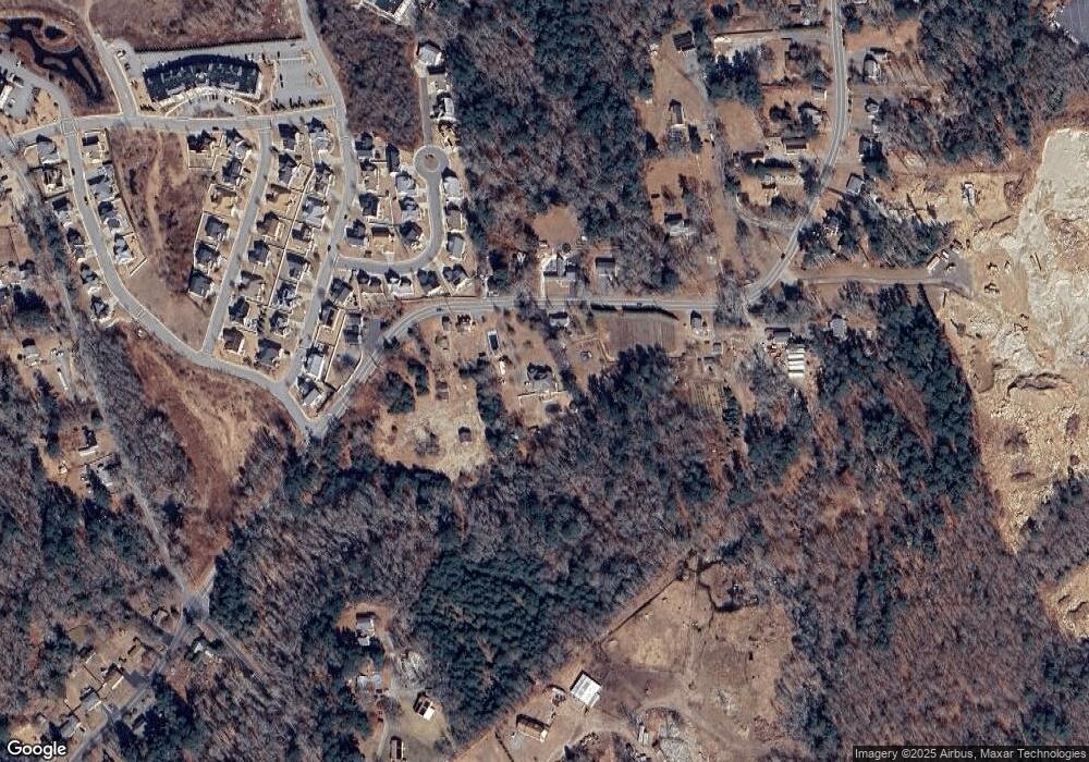
Map
Nearby Homes
- 3 Roller Coaster Way Unit Lot 1
- 461 Reed Rd
- 29 Union Ave
- 96 Forge Rd
- 735 Reed Rd
- 56 Lakeside Ave
- 55 Lakeside Ave
- 818 Reed Rd
- 27 Dias Ave
- 320 Old Westport Rd
- 312 Old Westport Rd
- 310 Old Westport Rd
- 53 Morton Ave
- 16 S Berryman St
- 15 S Breault St
- 65 Cross Rd
- 565 Highland Ave
- Lot 6 Rafael Rd
- 0 Van Buren St
- 9 Kyle Jacob Rd
- 421 Reed Rd
- 409 Reed Rd
- 383 Reed Rd
- 414 Reed Rd
- 422 Reed Rd
- 405 Reed Rd
- 430 Reed Rd
- 8 Carousel Terrace
- 6 Carousel Terrace
- 10 Carousel Terrace Unit Lot 49
- 10 Carousel Terrace
- 4 Carousel Terrace Unit Lot 52
- 12 Carousel Terrace Unit Lot 48
- 441 Reed Rd
- 7 Carousel Terrace
- 442 Reed Rd
- 442 Reed Rd Unit 2
- 396 Reed Rd
- 16 Carousel Terrace Unit Lot 47
- 3 Carousel Terrace