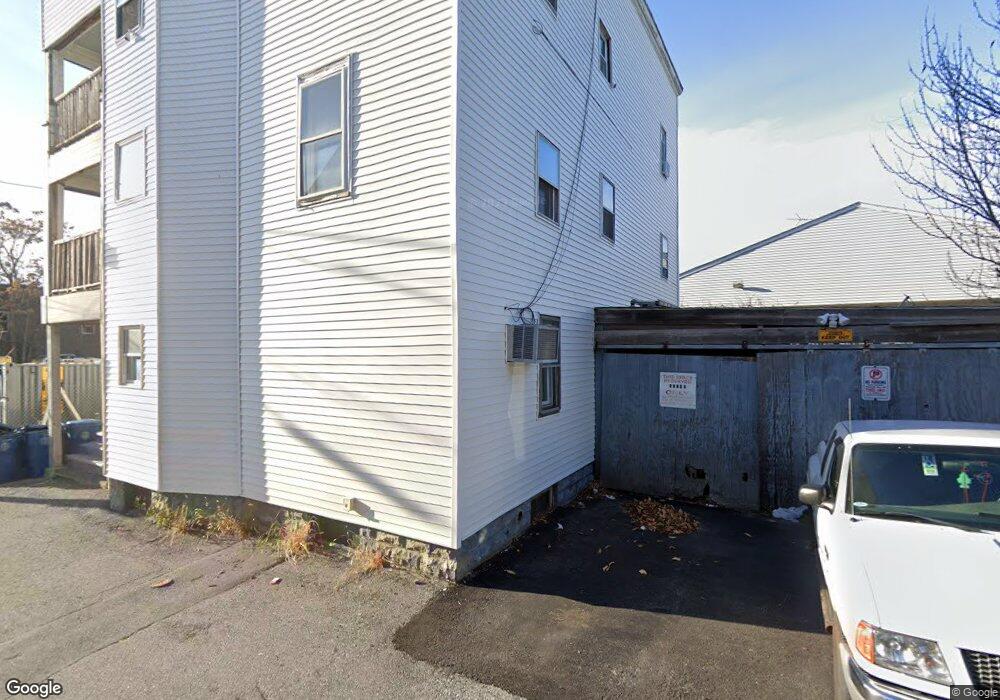
1 Florence St Unit 3A Lawrence, MA 01841
Tower Hill NeighborhoodEstimated Value: $674,559 - $786,000
8
Beds
4
Baths
3,952
Sq Ft
$186/Sq Ft
Est. Value
About This Home
This home is located at 1 Florence St Unit 3A, Lawrence, MA 01841 and is currently estimated at $733,640, approximately $185 per square foot. 1 Florence St Unit 3A is a home located in Essex County with nearby schools including School For Exceptional Studies, Gerard A. Guilmette School, and Notre Dame Cristo Rey High School.
Ownership History
Date
Name
Owned For
Owner Type
Purchase Details
Closed on
Aug 19, 2025
Sold by
Davie T T and Davie Burke
Bought by
C A J Properties Llc
Current Estimated Value
Purchase Details
Closed on
Mar 21, 2018
Sold by
Burke Michael T
Bought by
Davie T T and Davie Burke
Purchase Details
Closed on
Feb 3, 1995
Sold by
Ryan Maryruth
Bought by
Burke Michael T
Create a Home Valuation Report for This Property
The Home Valuation Report is an in-depth analysis detailing your home's value as well as a comparison with similar homes in the area
Home Values in the Area
Average Home Value in this Area
Purchase History
| Date | Buyer | Sale Price | Title Company |
|---|---|---|---|
| C A J Properties Llc | $700,000 | -- | |
| C A J Properties Llc | $700,000 | -- | |
| Davie T T | -- | -- | |
| Davie T T | -- | -- | |
| Burke Michael T | $5,500 | -- | |
| Burke Michael T | $5,500 | -- |
Source: Public Records
Mortgage History
| Date | Status | Borrower | Loan Amount |
|---|---|---|---|
| Previous Owner | Burke Michael T | $70,000 | |
| Previous Owner | Burke Michael T | $72,300 |
Source: Public Records
Tax History
| Year | Tax Paid | Tax Assessment Tax Assessment Total Assessment is a certain percentage of the fair market value that is determined by local assessors to be the total taxable value of land and additions on the property. | Land | Improvement |
|---|---|---|---|---|
| 2025 | $3,984 | $452,700 | $107,900 | $344,800 |
| 2024 | $3,543 | $383,000 | $113,400 | $269,600 |
| 2023 | $3,677 | $361,900 | $109,500 | $252,400 |
| 2022 | $3,418 | $298,800 | $103,200 | $195,600 |
| 2021 | $3,302 | $269,100 | $103,200 | $165,900 |
| 2020 | $3,130 | $251,800 | $86,000 | $165,800 |
| 2019 | $2,956 | $216,100 | $63,900 | $152,200 |
| 2018 | $2,802 | $195,700 | $57,900 | $137,800 |
| 2017 | $2,573 | $167,700 | $54,900 | $112,800 |
| 2016 | $2,420 | $156,000 | $42,800 | $113,200 |
| 2015 | $2,325 | $153,800 | $42,800 | $111,000 |
Source: Public Records
Map
Nearby Homes
- 324-326 Broadway
- 10 Holly St
- 29-31 Washington St
- 202 Broadway Unit 3-3
- 179-181 West St
- 36 Manchester St
- 27 Willow St Unit A
- 499 Haverhill St
- 15 Crescent St Unit D
- 11 Crescent St
- 7-9 Bennington St
- 434-438 Hampshire St
- 70 Butler St
- 46 Amesbury St Unit 2B
- 131A Lawrence St Unit 40
- 11 Lawrence St Unit 606
- 82 Water St
- 29 Center St
- 23 Chase St
- 129-131 Lexington St
- 332 Broadway
- 4 Florence St
- 372-374 Rear Broadway St
- 2828 Broadway
- 324 Broadway Unit 326
- 324 Broadway Unit 1st
- 324-326 Broadway Unit 2
- 327 Broadway
- 333 Broadway Unit 2nd Floor
- 316 Broadway
- 348 Broadway
- 1 Florence Ct
- 2 Acton St
- 53 Cedar St
- 3 Hanlon Ct
- 53 1/2 Cedar St
- 57 Cedar St
- 57 Cedar St Unit 2
- 46 Acton St
- 11 Clinton Ct
Your Personal Tour Guide
Ask me questions while you tour the home.