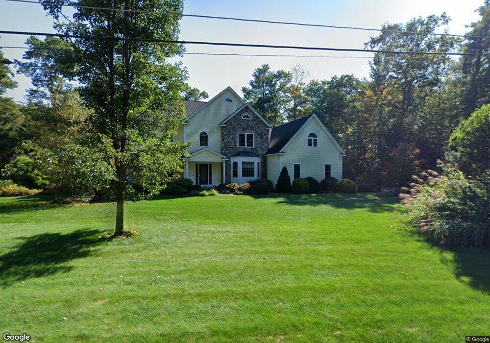
1 Forest Dr Unit Dr Hubbardston, MA 01452
Estimated Value: $848,000 - $989,000
3
Beds
4
Baths
3,593
Sq Ft
$261/Sq Ft
Est. Value
About This Home
This home is located at 1 Forest Dr Unit Dr, Hubbardston, MA 01452 and is currently estimated at $936,529, approximately $260 per square foot. 1 Forest Dr Unit Dr is a home located in Worcester County with nearby schools including Quabbin Regional Middle School and Quabbin Regional High School.
Ownership History
Date
Name
Owned For
Owner Type
Purchase Details
Closed on
Jun 15, 2023
Sold by
Mchugh Pamela A and Mchugh Daniel J
Bought by
Pamela A Mchugh Ret and Mchugh
Current Estimated Value
Create a Home Valuation Report for This Property
The Home Valuation Report is an in-depth analysis detailing your home's value as well as a comparison with similar homes in the area
Home Values in the Area
Average Home Value in this Area
Purchase History
| Date | Buyer | Sale Price | Title Company |
|---|---|---|---|
| Pamela A Mchugh Ret | -- | None Available | |
| Pamela A Mchugh Ret | -- | None Available |
Source: Public Records
Tax History Compared to Growth
Tax History
| Year | Tax Paid | Tax Assessment Tax Assessment Total Assessment is a certain percentage of the fair market value that is determined by local assessors to be the total taxable value of land and additions on the property. | Land | Improvement |
|---|---|---|---|---|
| 2025 | $9,307 | $796,800 | $63,400 | $733,400 |
| 2024 | $11,297 | $958,200 | $68,500 | $889,700 |
| 2023 | $9,393 | $720,900 | $62,900 | $658,000 |
| 2022 | $10,093 | $720,900 | $62,900 | $658,000 |
| 2021 | $10,169 | $686,600 | $62,900 | $623,700 |
| 2020 | $9,996 | $674,500 | $62,900 | $611,600 |
| 2019 | $9,447 | $620,700 | $77,300 | $543,400 |
| 2018 | $9,108 | $602,000 | $77,300 | $524,700 |
| 2017 | $9,170 | $602,100 | $77,300 | $524,800 |
| 2016 | $7,700 | $484,300 | $77,300 | $407,000 |
| 2015 | $7,767 | $520,600 | $77,300 | $443,300 |
| 2014 | $7,497 | $516,300 | $77,300 | $439,000 |
Source: Public Records
Map
Nearby Homes
- 40 Lombard Rd
- 0 Chippewa St
- 23 Iroquois Ave
- 37 Grimes Rd
- 207 W Princeton Rd
- 62 Bolton Rd Unit Applewood
- 62 Bolton Rd Unit Oakmont
- 14 Lighthouse Ln
- Lot 0 Old Westminster Rd
- 45 Old Colony Rd
- 65 Davis Rd
- 21 Davis Rd
- 56 Hubbardston Rd
- 240-Lot 2 Davis Rd
- 47 Brigham St
- 134 Mountain Rd
- 5 Kurikka Place
- Lot A Frog Hollow Rd
- 20 Wachusett Dr
- 10 Wintturi Rd
- 1 Forest Dr
- Lot 5 Forest Dr
- 0 Forest Dr L:1 Unit 72056572
- 0 Forest Dr L:1 Unit 72056577
- 5 Forest Dr
- 3 Forest Dr
- 4 Forest Dr
- 3 Tahanto Rd
- 1 Tahanto Rd
- Lot 5A & B Brookside Dr
- 152 New Westminster Rd
- 1 Prentiss Hill Rd
- 4 Bickford Pond Rd
- 148 New Westminster Rd
- 27 Lombard Rd
- 153 New Westminster Rd
- 149 New Westminster Rd
- 5 Prentiss Hill Rd
- 147 New Westminster Rd
- 147 New Westminster Rd Unit 147