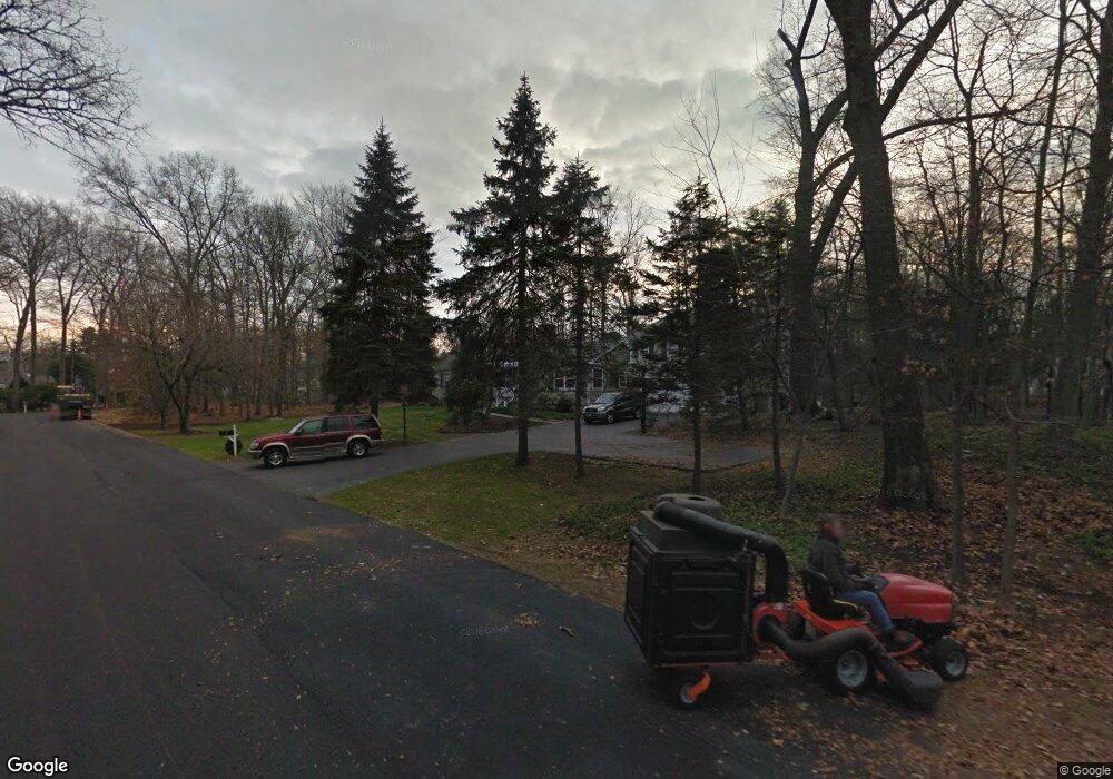
1 Forest Dr Westport, CT 06880
Staples NeighborhoodEstimated Value: $1,036,000 - $1,529,609
4
Beds
3
Baths
2,290
Sq Ft
$565/Sq Ft
Est. Value
About This Home
This home is located at 1 Forest Dr, Westport, CT 06880 and is currently estimated at $1,293,152, approximately $564 per square foot. 1 Forest Dr is a home located in Fairfield County with nearby schools including Long Lots School, Bedford Middle School, and Staples High School.
Ownership History
Date
Name
Owned For
Owner Type
Purchase Details
Closed on
Apr 17, 1997
Sold by
Karazin Ed
Bought by
Jacowleff Robert and Jacowleff Barbara
Current Estimated Value
Create a Home Valuation Report for This Property
The Home Valuation Report is an in-depth analysis detailing your home's value as well as a comparison with similar homes in the area
Home Values in the Area
Average Home Value in this Area
Purchase History
| Date | Buyer | Sale Price | Title Company |
|---|---|---|---|
| Jacowleff Robert | $380,000 | -- | |
| Jacowleff Robert | $380,000 | -- |
Source: Public Records
Mortgage History
| Date | Status | Borrower | Loan Amount |
|---|---|---|---|
| Open | Jacowleff Robert | $149,680 | |
| Open | Jacowleff Robert | $550,000 | |
| Closed | Jacowleff Robert | $550,000 |
Source: Public Records
Tax History
| Year | Tax Paid | Tax Assessment Tax Assessment Total Assessment is a certain percentage of the fair market value that is determined by local assessors to be the total taxable value of land and additions on the property. | Land | Improvement |
|---|---|---|---|---|
| 2025 | $10,748 | $569,900 | $403,500 | $166,400 |
| 2024 | $10,612 | $569,900 | $403,500 | $166,400 |
| 2023 | $10,458 | $569,900 | $403,500 | $166,400 |
| 2022 | $10,298 | $569,900 | $403,500 | $166,400 |
| 2021 | $10,298 | $569,900 | $403,500 | $166,400 |
| 2020 | $4,485 | $583,100 | $399,100 | $184,000 |
| 2019 | $9,831 | $583,100 | $399,100 | $184,000 |
| 2018 | $9,831 | $583,100 | $399,100 | $184,000 |
| 2017 | $4,212 | $583,100 | $399,100 | $184,000 |
| 2016 | $9,831 | $583,100 | $399,100 | $184,000 |
| 2015 | $9,362 | $517,500 | $330,200 | $187,300 |
| 2014 | $9,284 | $517,500 | $330,200 | $187,300 |
Source: Public Records
Map
Nearby Homes
- 1 Coastal Ct
- 107 Old Rd
- 125 Old Rd
- 40 Maple Ave N
- 1 Dexter Rd
- 3 Hunt Club Ln
- 2 Fairport Rd
- 25 Old Rd
- 220 Lansdowne
- 36 Maple Ave S
- 18 Woodhill Rd
- 310 Lansdowne Unit 310
- 28 Turkey Hill Rd N
- 10 Debra Ln
- 1 Flower Farm Ln
- 1 Angora Rd
- 1 Sturges Hwy Unit 2
- 342 Greens Farms Rd
- 26 Morningside Dr S
- 103 Southport Woods Dr Unit 103
Your Personal Tour Guide
Ask me questions while you tour the home.