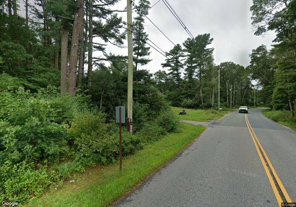
1 Friendship Ln Westport, MA 02790
Estimated Value: $637,000 - $842,000
3
Beds
--
Bath
3,000
Sq Ft
$255/Sq Ft
Est. Value
About This Home
This home is located at 1 Friendship Ln, Westport, MA 02790 and is currently estimated at $765,810, approximately $255 per square foot. 1 Friendship Ln is a home located in Bristol County with nearby schools including Alice A. Macomber Primary School, Westport Elementary School, and Westport Middle-High School.
Ownership History
Date
Name
Owned For
Owner Type
Purchase Details
Closed on
Feb 28, 1997
Sold by
Bohn Carol
Bought by
Blanchette Lonnie G and Blanchette Rosemary
Current Estimated Value
Create a Home Valuation Report for This Property
The Home Valuation Report is an in-depth analysis detailing your home's value as well as a comparison with similar homes in the area
Home Values in the Area
Average Home Value in this Area
Purchase History
| Date | Buyer | Sale Price | Title Company |
|---|---|---|---|
| Blanchette Lonnie G | $54,900 | -- |
Source: Public Records
Mortgage History
| Date | Status | Borrower | Loan Amount |
|---|---|---|---|
| Open | Blanchette Lonnie G | $17,000 | |
| Open | Blanchette Lonnie G | $327,000 | |
| Closed | Blanchette Lonnie G | $337,000 |
Source: Public Records
Tax History Compared to Growth
Tax History
| Year | Tax Paid | Tax Assessment Tax Assessment Total Assessment is a certain percentage of the fair market value that is determined by local assessors to be the total taxable value of land and additions on the property. | Land | Improvement |
|---|---|---|---|---|
| 2025 | $4,814 | $646,200 | $187,300 | $458,900 |
| 2024 | $4,759 | $615,600 | $166,300 | $449,300 |
| 2023 | $4,792 | $587,200 | $151,500 | $435,700 |
| 2022 | $4,424 | $521,700 | $151,500 | $370,200 |
| 2021 | $4,212 | $488,600 | $125,300 | $363,300 |
| 2020 | $4,077 | $483,600 | $120,300 | $363,300 |
| 2019 | $4,047 | $489,400 | $120,300 | $369,100 |
| 2018 | $3,731 | $456,700 | $117,800 | $338,900 |
| 2017 | $3,646 | $457,500 | $114,000 | $343,500 |
| 2016 | $3,485 | $440,600 | $110,300 | $330,300 |
| 2015 | $3,317 | $418,300 | $112,800 | $305,500 |
Source: Public Records
Map
Nearby Homes
- 3 Roller Coaster Way Unit Lot 1
- 29 Union Ave
- 461 Reed Rd
- 96 Forge Rd
- 27 Dias Ave
- 735 Reed Rd
- 47 Fallon Dr
- 56 Lakeside Ave
- 380 Gifford Rd
- 55 Lakeside Ave
- 16 S Berryman St
- 4 Main Rd
- 15 S Breault St
- 818 Reed Rd
- 312 Old Westport Rd
- 310 Old Westport Rd
- 994 State
- 53 Morton Ave
- Lot 6 Rafael Rd
- 63 Brandt Ave
