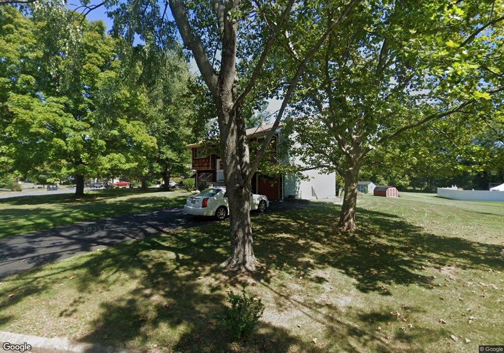
1 Furman Ln Flemington, NJ 08822
Estimated Value: $479,686 - $617,000
--
Bed
--
Bath
1,854
Sq Ft
$300/Sq Ft
Est. Value
About This Home
This home is located at 1 Furman Ln, Flemington, NJ 08822 and is currently estimated at $556,422, approximately $300 per square foot. 1 Furman Ln is a home located in Hunterdon County with nearby schools including Francis A. Desmares Elementary School, Reading Fleming Intermediate School, and J.P. Case Middle School.
Ownership History
Date
Name
Owned For
Owner Type
Purchase Details
Closed on
Apr 12, 2013
Sold by
Thompson Jerry D and Thompson Anna M
Bought by
Thompson Anna M
Current Estimated Value
Purchase Details
Closed on
Aug 27, 2001
Sold by
Ortiz Manuel J
Bought by
Thompson Jerry D and Thompson Anna M
Home Financials for this Owner
Home Financials are based on the most recent Mortgage that was taken out on this home.
Original Mortgage
$242,200
Interest Rate
7.15%
Create a Home Valuation Report for This Property
The Home Valuation Report is an in-depth analysis detailing your home's value as well as a comparison with similar homes in the area
Home Values in the Area
Average Home Value in this Area
Purchase History
| Date | Buyer | Sale Price | Title Company |
|---|---|---|---|
| Thompson Anna M | -- | None Available | |
| Thompson Jerry D | $255,000 | -- |
Source: Public Records
Mortgage History
| Date | Status | Borrower | Loan Amount |
|---|---|---|---|
| Previous Owner | Thompson Jerry D | $242,200 |
Source: Public Records
Tax History Compared to Growth
Tax History
| Year | Tax Paid | Tax Assessment Tax Assessment Total Assessment is a certain percentage of the fair market value that is determined by local assessors to be the total taxable value of land and additions on the property. | Land | Improvement |
|---|---|---|---|---|
| 2025 | $9,493 | $327,700 | $191,200 | $136,500 |
| 2024 | $8,927 | $327,700 | $191,200 | $136,500 |
| 2023 | $8,927 | $327,700 | $191,200 | $136,500 |
| 2022 | $8,700 | $327,700 | $191,200 | $136,500 |
| 2021 | $8,255 | $327,700 | $191,200 | $136,500 |
| 2020 | $8,425 | $327,700 | $191,200 | $136,500 |
| 2019 | $8,255 | $327,700 | $191,200 | $136,500 |
| 2018 | $8,153 | $327,700 | $191,200 | $136,500 |
| 2017 | $8,029 | $327,700 | $191,200 | $136,500 |
| 2016 | $7,884 | $327,700 | $191,200 | $136,500 |
| 2015 | $7,685 | $327,700 | $191,200 | $136,500 |
| 2014 | $7,583 | $327,700 | $191,200 | $136,500 |
Source: Public Records
Map
Nearby Homes
- 25 Haddenford Dr
- 92 Park Ave
- 12 Corcoran St
- 5 William Martin Way Unit 5
- 31 E Main St
- 6 W View Dr
- 81 Elwood Ave
- 0 Hardscrabble Hill Rd
- 110 Mine St
- 8 Reasoner Ln
- 100 State Route 12
- 29 Royal Rd
- 402 Clark Cir
- 5 Erin Place
- 803 Yorkshire Dr
- 15 Colts Ln
- 33 Sergeantsville Rd
- 807 Wedgewood Cir
- 63 Jefferson Ct
- 31 Hancock Ct