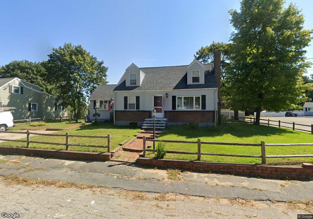
1 Gloria Rd Randolph, MA 02368
North Randolph NeighborhoodEstimated Value: $556,000 - $580,000
3
Beds
2
Baths
1,580
Sq Ft
$360/Sq Ft
Est. Value
About This Home
This home is located at 1 Gloria Rd, Randolph, MA 02368 and is currently estimated at $568,335, approximately $359 per square foot. 1 Gloria Rd is a home located in Norfolk County with nearby schools including Randolph High School, Lighthouse Baptist Christian Academy, and Thayer Academy.
Ownership History
Date
Name
Owned For
Owner Type
Purchase Details
Closed on
Aug 19, 1980
Bought by
Weber Michael P and Weber Susan L
Current Estimated Value
Create a Home Valuation Report for This Property
The Home Valuation Report is an in-depth analysis detailing your home's value as well as a comparison with similar homes in the area
Home Values in the Area
Average Home Value in this Area
Purchase History
| Date | Buyer | Sale Price | Title Company |
|---|---|---|---|
| Weber Michael P | -- | -- |
Source: Public Records
Mortgage History
| Date | Status | Borrower | Loan Amount |
|---|---|---|---|
| Open | Weber Michael P | $77,000 |
Source: Public Records
Tax History
| Year | Tax Paid | Tax Assessment Tax Assessment Total Assessment is a certain percentage of the fair market value that is determined by local assessors to be the total taxable value of land and additions on the property. | Land | Improvement |
|---|---|---|---|---|
| 2025 | $5,663 | $487,800 | $225,600 | $262,200 |
| 2024 | $5,480 | $478,600 | $221,200 | $257,400 |
| 2023 | $5,275 | $436,700 | $201,100 | $235,600 |
| 2022 | $5,301 | $389,800 | $167,500 | $222,300 |
| 2021 | $4,990 | $337,600 | $139,600 | $198,000 |
| 2020 | $4,870 | $326,600 | $139,600 | $187,000 |
| 2019 | $4,629 | $309,000 | $132,900 | $176,100 |
| 2018 | $4,513 | $284,200 | $120,800 | $163,400 |
| 2017 | $4,574 | $282,700 | $115,100 | $167,600 |
| 2016 | $4,386 | $252,200 | $104,600 | $147,600 |
| 2015 | $4,159 | $229,800 | $99,600 | $130,200 |
Source: Public Records
Map
Nearby Homes
- 661 North St
- 12 Brewster Rd
- 469 North St
- 700 North St
- 4 Powdrell Ave
- 614 Pond St Unit 2104
- 1579 Washington St
- 10 Alfred Terrace
- 591 N Main St
- 80 Lake St
- 54 Jasper Ln
- 34 Orchard St
- 217 Mill St
- 229 Mill St
- 8 Dianthus Rd
- 43 West St Unit A2
- 249 Mill St
- 6 Lunar Ave
- 20 Isabelle Ave
- 16 Grove Square Unit 16
Your Personal Tour Guide
Ask me questions while you tour the home.