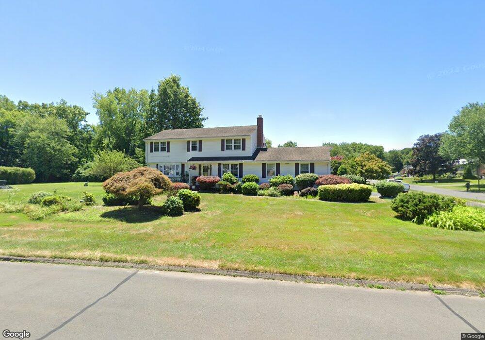
1 Grant Cir Windsor, CT 06095
West Windsor NeighborhoodEstimated Value: $392,000 - $457,000
4
Beds
3
Baths
2,076
Sq Ft
$208/Sq Ft
Est. Value
About This Home
This home is located at 1 Grant Cir, Windsor, CT 06095 and is currently estimated at $431,621, approximately $207 per square foot. 1 Grant Cir is a home located in Hartford County with nearby schools including Poquonock Elementary School, Clover Street School, and Sage Park Middle School.
Ownership History
Date
Name
Owned For
Owner Type
Purchase Details
Closed on
May 28, 2008
Sold by
Jamrog Steven and Jamrog Barbara
Bought by
Samuel Norman
Current Estimated Value
Home Financials for this Owner
Home Financials are based on the most recent Mortgage that was taken out on this home.
Original Mortgage
$280,596
Outstanding Balance
$177,979
Interest Rate
5.91%
Mortgage Type
Purchase Money Mortgage
Estimated Equity
$253,642
Create a Home Valuation Report for This Property
The Home Valuation Report is an in-depth analysis detailing your home's value as well as a comparison with similar homes in the area
Home Values in the Area
Average Home Value in this Area
Purchase History
| Date | Buyer | Sale Price | Title Company |
|---|---|---|---|
| Samuel Norman | $285,000 | -- |
Source: Public Records
Mortgage History
| Date | Status | Borrower | Loan Amount |
|---|---|---|---|
| Open | Samuel Norman | $24,732 | |
| Open | Samuel Norman | $59,584 | |
| Open | Samuel Norman | $280,596 | |
| Previous Owner | Samuel Norman | $119,600 |
Source: Public Records
Tax History
| Year | Tax Paid | Tax Assessment Tax Assessment Total Assessment is a certain percentage of the fair market value that is determined by local assessors to be the total taxable value of land and additions on the property. | Land | Improvement |
|---|---|---|---|---|
| 2025 | $7,321 | $257,320 | $61,880 | $195,440 |
| 2024 | $7,802 | $257,320 | $61,880 | $195,440 |
| 2023 | $5,727 | $170,450 | $49,000 | $121,450 |
| 2022 | $5,671 | $170,450 | $49,000 | $121,450 |
| 2021 | $5,671 | $170,450 | $49,000 | $121,450 |
| 2020 | $5,644 | $170,450 | $49,000 | $121,450 |
| 2019 | $5,519 | $170,450 | $49,000 | $121,450 |
| 2018 | $5,357 | $162,540 | $49,000 | $113,540 |
| 2017 | $5,274 | $162,540 | $49,000 | $113,540 |
| 2016 | $5,123 | $162,540 | $49,000 | $113,540 |
| 2015 | $5,026 | $162,540 | $49,000 | $113,540 |
| 2014 | $4,953 | $162,540 | $49,000 | $113,540 |
Source: Public Records
Map
Nearby Homes
- 5 Grant Cir
- 27 Lincoln Way
- 2 Grant Cir
- 33 Lincoln Way
- 11 Grant Cir
- 28 Lincoln Way
- 34 Lincoln Way
- 4 Grant Cir
- 22 Lincoln Way
- 39 Lincoln Way
- 40 Lincoln Way
- 16 Lincoln Way
- 9 Lincoln Way
- 10 Lincoln Way
- 45 Lincoln Way
- 46 Lincoln Way
- 823 Matianuck Ave
- 10 Grant Cir
- 0 Kari Ct Unit 170122071
- 0 Kari Ct Unit G684124
Your Personal Tour Guide
Ask me questions while you tour the home.