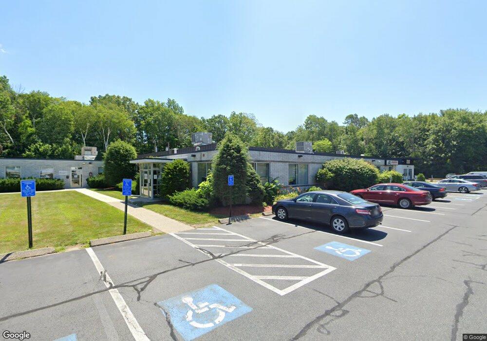
1 H F Brown Way Natick, MA 01760
Estimated Value: $5,508,226
--
Bed
--
Bath
31,581
Sq Ft
$174/Sq Ft
Est. Value
About This Home
This home is located at 1 H F Brown Way, Natick, MA 01760 and is currently estimated at $5,508,226, approximately $174 per square foot. 1 H F Brown Way is a home located in Middlesex County with nearby schools including Natick High School, J F Kennedy Middle School, and Brown Elementary School.
Ownership History
Date
Name
Owned For
Owner Type
Purchase Details
Closed on
Sep 28, 2021
Sold by
Jor Greenleaf Llc
Bought by
Stonegate Browns Way Llc
Current Estimated Value
Purchase Details
Closed on
Jul 18, 2013
Sold by
Green Brick Dev Llc
Bought by
Jor Greenleaf Llc
Home Financials for this Owner
Home Financials are based on the most recent Mortgage that was taken out on this home.
Original Mortgage
$3,080,000
Interest Rate
3.92%
Mortgage Type
Commercial
Purchase Details
Closed on
Oct 17, 2011
Sold by
Neico Rt and Hines
Bought by
Green Brick Dev Llc
Create a Home Valuation Report for This Property
The Home Valuation Report is an in-depth analysis detailing your home's value as well as a comparison with similar homes in the area
Home Values in the Area
Average Home Value in this Area
Purchase History
| Date | Buyer | Sale Price | Title Company |
|---|---|---|---|
| Stonegate Browns Way Llc | $4,500,000 | None Available | |
| Jor Greenleaf Llc | $3,850,000 | -- | |
| Green Brick Dev Llc | $3,000,000 | -- | |
| Green Brick Dev Llc | $3,000,000 | -- |
Source: Public Records
Mortgage History
| Date | Status | Borrower | Loan Amount |
|---|---|---|---|
| Previous Owner | Jor Greenleaf Llc | $3,080,000 |
Source: Public Records
Tax History Compared to Growth
Tax History
| Year | Tax Paid | Tax Assessment Tax Assessment Total Assessment is a certain percentage of the fair market value that is determined by local assessors to be the total taxable value of land and additions on the property. | Land | Improvement |
|---|---|---|---|---|
| 2025 | $48,568 | $4,060,900 | $2,076,700 | $1,984,200 |
| 2024 | $49,787 | $4,060,900 | $1,798,200 | $2,262,700 |
| 2023 | $45,220 | $3,577,500 | $1,659,800 | $1,917,700 |
| 2022 | $39,687 | $2,975,000 | $1,209,100 | $1,765,900 |
| 2021 | $42,666 | $3,134,900 | $1,189,200 | $1,945,700 |
| 2020 | $42,666 | $3,134,900 | $1,189,200 | $1,945,700 |
| 2019 | $39,845 | $3,134,900 | $1,189,200 | $1,945,700 |
| 2018 | $39,769 | $3,047,400 | $1,138,000 | $1,909,400 |
| 2017 | $40,230 | $2,982,200 | $1,014,000 | $1,968,200 |
| 2016 | $40,220 | $2,963,900 | $1,014,000 | $1,949,900 |
| 2015 | $40,354 | $2,920,000 | $1,014,000 | $1,906,000 |
Source: Public Records
Map
Nearby Homes
- 20 Walden Dr Unit 16
- 7 Orchard View Cir Unit 7
- 11 Village Hill Ln Unit 9
- 44 Village Hill Ln
- 57 Village Brook Ln Unit 5
- 50 Village Brook Ln Unit 4
- 1 Glen St Unit B
- 6 Village Rock Ln Unit 17
- 9 Village Hill Ln Unit 24
- 12 Walden Dr Unit 19
- 6 Post Oak Ln Unit 10
- 24 Silver Hill Ln
- 11 Post Oak Ln Unit 6
- 9 Silver Hill Ln Unit 19
- 7 Village Way Unit 4
- 32 Silver Hill Ln Unit 1
- 38 Silver Hill Ln Unit 8
- 44 Silver Hill Ln Unit 15
- 40 Silver Hill Ln Unit 4
- 131 2nd St
- 3 H F Brown Way Unit 3
- 5 H F Brown Way
- 3 H F Brown Way
- 76 Kendall Ln
- 74 Kendall Ln
- 78 Kendall Ln
- 80 Kendall Ln
- 9 H F Brown Way Unit 9
- 84 Kendall Ln
- 84 Kendall Ln Unit A
- 84 Kendall Ln Unit B
- 86 Kendall Ln
- 86 Kendall Ln Unit A
- 86 Kendall Ln Unit 86
- 86 Kendall Ln Unit A
- 86 Kendall Ln Unit 2
- 86 Kendall Ln Unit 1
- 7 H F Brown Way Unit 7
- 1 Thoreau Ct Unit 20
- 1 Thoreau Ct Unit 19