1 Harrys Ln Broomall, PA 19008
Marple Township Delaware NeighborhoodEstimated Value: $1,054,000 - $2,219,060
3
Beds
4
Baths
6,316
Sq Ft
$234/Sq Ft
Est. Value
About This Home
This home is located at 1 Harrys Ln, Broomall, PA 19008 and is currently estimated at $1,475,015, approximately $233 per square foot. 1 Harrys Ln is a home located in Delaware County with nearby schools including Russell Elementary School, Paxon Hollow Middle School, and Marple Newtown Senior High School.
Ownership History
Date
Name
Owned For
Owner Type
Purchase Details
Closed on
Jan 3, 1995
Sold by
Cgr Associates and Bennett Frank A
Bought by
Howze Bruce and Howze Christine
Current Estimated Value
Home Financials for this Owner
Home Financials are based on the most recent Mortgage that was taken out on this home.
Original Mortgage
$200,000
Interest Rate
9.23%
Create a Home Valuation Report for This Property
The Home Valuation Report is an in-depth analysis detailing your home's value as well as a comparison with similar homes in the area
Home Values in the Area
Average Home Value in this Area
Purchase History
| Date | Buyer | Sale Price | Title Company |
|---|---|---|---|
| Howze Bruce | $400,000 | Commonwealth Land Title Ins |
Source: Public Records
Mortgage History
| Date | Status | Borrower | Loan Amount |
|---|---|---|---|
| Closed | Howze Bruce | $200,000 |
Source: Public Records
Tax History Compared to Growth
Tax History
| Year | Tax Paid | Tax Assessment Tax Assessment Total Assessment is a certain percentage of the fair market value that is determined by local assessors to be the total taxable value of land and additions on the property. | Land | Improvement |
|---|---|---|---|---|
| 2025 | $23,626 | $1,367,202 | $504,702 | $862,500 |
| 2024 | $23,626 | $1,367,202 | $504,702 | $862,500 |
| 2023 | $22,877 | $1,367,202 | $504,702 | $862,500 |
| 2022 | $22,444 | $1,367,202 | $504,702 | $862,500 |
| 2021 | $33,871 | $1,367,202 | $504,702 | $862,500 |
| 2020 | $16,019 | $556,667 | $200,000 | $356,667 |
| 2019 | $15,826 | $556,667 | $200,000 | $356,667 |
| 2018 | $15,662 | $556,667 | $0 | $0 |
| 2017 | $15,670 | $556,667 | $0 | $0 |
| 2016 | $3,055 | $556,667 | $0 | $0 |
| 2015 | $3,117 | $556,667 | $0 | $0 |
| 2014 | $3,055 | $556,667 | $0 | $0 |
Source: Public Records
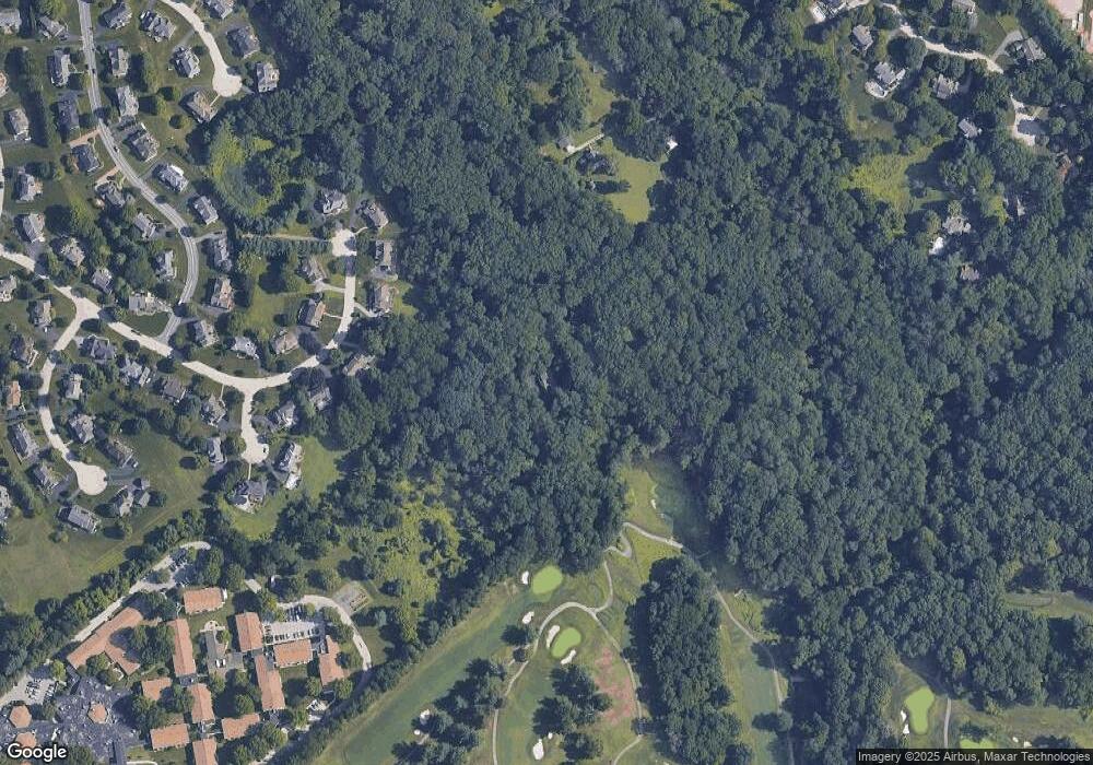
Map
Nearby Homes
- 2500 Grant Rd
- 0 Cedar Grove Rd Unit PADE2105298
- 2613 Caranel Rd
- 1038 Palmers Mill Rd
- 980 Palmers Mill Rd
- 2611 Woodberry Rd
- 11 Linden Dr
- 102 Gibson Ct
- 104 Gibson Ct
- 106 Gibson Ct
- 101 Eagle Dr
- 113 Eagle Dr
- 105 Eagle Dr
- 103 Eagle Dr
- 106 Eagle Dr
- 107 Eagle Dr
- 2734 Old Cedar Grove Rd
- 104 Eagle Dr
- 2119 Boxwood Dr
- 310 Lewis Rd