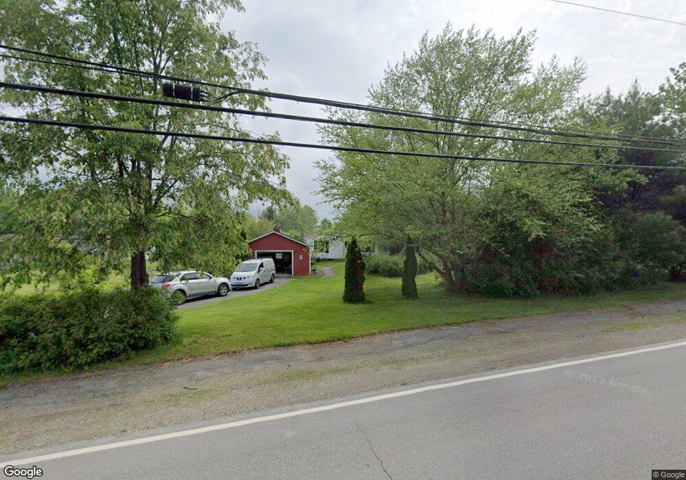
1 Hassell Dr Belfast, ME 04915
Estimated Value: $304,000 - $398,506
3
Beds
2
Baths
1,232
Sq Ft
$299/Sq Ft
Est. Value
About This Home
This home is located at 1 Hassell Dr, Belfast, ME 04915 and is currently estimated at $368,877, approximately $299 per square foot. 1 Hassell Dr is a home located in Waldo County with nearby schools including Cornerspring Children's House and The School At Sweetser - Belfast.
Ownership History
Date
Name
Owned For
Owner Type
Purchase Details
Closed on
Mar 3, 2025
Sold by
Donahue Marsha H
Bought by
Donahue Marsha H and Curlew Robert W
Current Estimated Value
Home Financials for this Owner
Home Financials are based on the most recent Mortgage that was taken out on this home.
Original Mortgage
$25,000
Outstanding Balance
$24,876
Interest Rate
7.04%
Mortgage Type
Credit Line Revolving
Estimated Equity
$344,001
Purchase Details
Closed on
Oct 8, 2013
Sold by
Sprague Roger A
Bought by
Sprague Roger A and Gordon Kenneth
Create a Home Valuation Report for This Property
The Home Valuation Report is an in-depth analysis detailing your home's value as well as a comparison with similar homes in the area
Home Values in the Area
Average Home Value in this Area
Purchase History
| Date | Buyer | Sale Price | Title Company |
|---|---|---|---|
| Donahue Marsha H | -- | None Available | |
| Donahue Marsha H | -- | None Available | |
| Sprague Roger A | -- | -- |
Source: Public Records
Mortgage History
| Date | Status | Borrower | Loan Amount |
|---|---|---|---|
| Open | Donahue Marsha H | $25,000 |
Source: Public Records
Tax History Compared to Growth
Tax History
| Year | Tax Paid | Tax Assessment Tax Assessment Total Assessment is a certain percentage of the fair market value that is determined by local assessors to be the total taxable value of land and additions on the property. | Land | Improvement |
|---|---|---|---|---|
| 2024 | $5,039 | $327,200 | $128,200 | $199,000 |
| 2023 | $3,588 | $178,500 | $62,500 | $116,000 |
| 2022 | $3,679 | $171,900 | $62,500 | $109,400 |
| 2021 | $3,782 | $171,900 | $62,500 | $109,400 |
| 2020 | $3,635 | $156,000 | $58,800 | $97,200 |
| 2019 | $2,129 | $124,000 | $29,400 | $94,600 |
| 2018 | $2,815 | $124,000 | $29,400 | $94,600 |
| 2017 | $2,716 | $124,000 | $29,400 | $94,600 |
| 2016 | $380 | $124,000 | $29,400 | $94,600 |
| 2015 | $2,778 | $124,000 | $29,400 | $94,600 |
| 2014 | $2,685 | $124,000 | $29,400 | $94,600 |
| 2013 | $2,964 | $142,500 | $39,400 | $103,100 |
Source: Public Records
Map
Nearby Homes
- 388 High St
- 225 Waldo Ave
- 0 Merriam Rd
- 000 Merriam Rd
- 40 Robbins Rd
- 0 Robbins Rd Unit 1634953
- 97 Robbins Rd
- 51 Bridge St
- 17 Footbridge Rd
- 0 Patterson Hill Rd Unit Lot 2 1614981
- 2 Swan Lake Ave
- 208 High St
- 6 Daniel Dr
- 28 Charles St
- 45 Brooke Ave
- 42 Swan Lake Ave
- 31 Franklin St
- 38 Spring St
- 53 Lincolnville Ave
- 1 Miller St