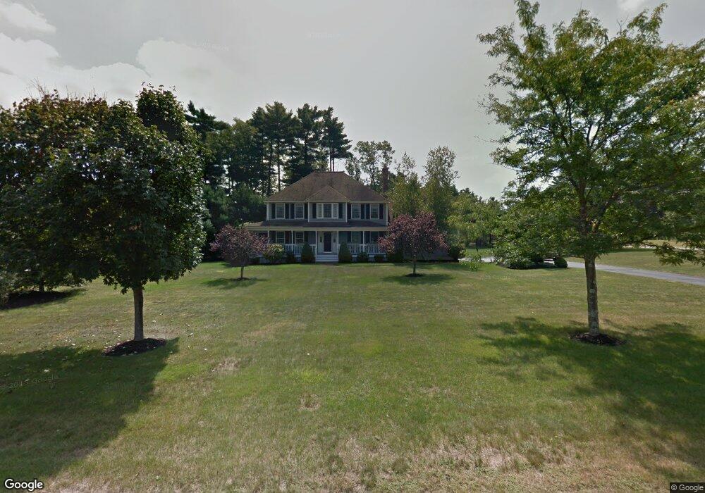
1 Hassler Rd Norfolk, MA 02056
Estimated Value: $753,587 - $1,093,000
4
Beds
3
Baths
2,110
Sq Ft
$416/Sq Ft
Est. Value
About This Home
This home is located at 1 Hassler Rd, Norfolk, MA 02056 and is currently estimated at $877,647, approximately $415 per square foot. 1 Hassler Rd is a home located in Norfolk County with nearby schools including H. Olive Day School, Freeman-Kennedy School, and Woodside Montessori Academy.
Ownership History
Date
Name
Owned For
Owner Type
Purchase Details
Closed on
Jul 12, 1996
Sold by
City Mill Corp
Bought by
Sexton Gregory J and Sextons Susan M
Current Estimated Value
Home Financials for this Owner
Home Financials are based on the most recent Mortgage that was taken out on this home.
Original Mortgage
$223,300
Interest Rate
7.98%
Mortgage Type
Purchase Money Mortgage
Create a Home Valuation Report for This Property
The Home Valuation Report is an in-depth analysis detailing your home's value as well as a comparison with similar homes in the area
Home Values in the Area
Average Home Value in this Area
Purchase History
| Date | Buyer | Sale Price | Title Company |
|---|---|---|---|
| Sexton Gregory J | $289,175 | -- |
Source: Public Records
Mortgage History
| Date | Status | Borrower | Loan Amount |
|---|---|---|---|
| Open | Sexton Gregory J | $285,000 | |
| Closed | Sexton Gregory J | $225,000 | |
| Closed | Sexton Gregory J | $225,000 | |
| Closed | Sexton Gregory J | $223,300 |
Source: Public Records
Tax History
| Year | Tax Paid | Tax Assessment Tax Assessment Total Assessment is a certain percentage of the fair market value that is determined by local assessors to be the total taxable value of land and additions on the property. | Land | Improvement |
|---|---|---|---|---|
| 2025 | $10,764 | $674,000 | $232,100 | $441,900 |
| 2024 | $10,164 | $652,800 | $232,100 | $420,700 |
| 2023 | $9,803 | $597,400 | $232,100 | $365,300 |
| 2022 | $9,406 | $516,800 | $217,300 | $299,500 |
| 2021 | $9,080 | $504,700 | $211,000 | $293,700 |
| 2020 | $8,966 | $481,000 | $192,400 | $288,600 |
| 2019 | $8,642 | $472,500 | $192,400 | $280,100 |
| 2018 | $8,318 | $446,700 | $192,400 | $254,300 |
| 2017 | $8,195 | $449,800 | $192,400 | $257,400 |
| 2016 | $8,085 | $447,200 | $195,200 | $252,000 |
| 2015 | $7,453 | $422,000 | $184,700 | $237,300 |
| 2014 | $7,307 | $419,200 | $184,700 | $234,500 |
Source: Public Records
Map
Nearby Homes
- 0 Toils End Rd
- 19 Waites Crossing
- 13 Waites Crossing
- 11 Waites Crossing
- 22 Waites Crossing
- 14 Waites Crossing
- 10 Waites Crossing
- 298 Main St
- 99 Leland Rd
- 9 Elliot Mills Unit 5
- 8 Elliot Mills Unit 30
- 5 Elliot Mills Unit 3
- 7 Elliot Mills Unit 4
- 10 Elliot Mills Unit 29
- 12 Ariana Ln
- 292 Main St
- 10 Populatic Street Extension
- 100 Daniels St
- 23 Fredrickson Rd
- 204 Lincoln St
- 2 Hassler Rd
- 5 Mill River Rd
- 10 Trevor Rd
- 6 Trevor Rd
- 6 Mill River Rd
- 10 Mill River Rd
- 14 Trevor Rd
- 0 Lot 20 Mill River Rd Unit 50269423
- 3 Mill River Rd
- 8 Mill River Rd
- 8 1/2 Mill River Rd
- 11 Mill River Rd
- 1 Wyllie Ct
- 12 Mill River Rd
- 2 Wyllie Ct
- 2 Trevor Rd
- 4 Mill River Rd
- 6 Bullukian Rd
- 9 Green St
- 14 School St
Your Personal Tour Guide
Ask me questions while you tour the home.