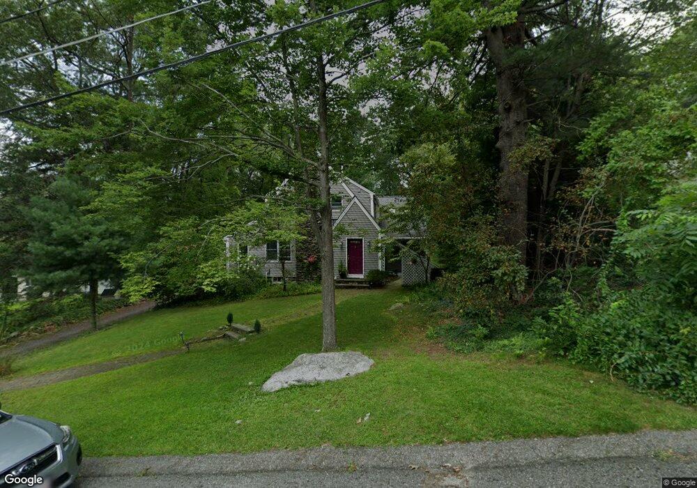
1 Hawthorne Rd Holden, MA 01520
Estimated Value: $626,363 - $745,000
4
Beds
3
Baths
2,417
Sq Ft
$274/Sq Ft
Est. Value
About This Home
This home is located at 1 Hawthorne Rd, Holden, MA 01520 and is currently estimated at $661,091, approximately $273 per square foot. 1 Hawthorne Rd is a home located in Worcester County with nearby schools including Wachusett Regional High School and Bancroft School.
Ownership History
Date
Name
Owned For
Owner Type
Purchase Details
Closed on
Jul 16, 2008
Sold by
Caputo Anthony J and Caputo Betty-Ann
Bought by
Lambert Dave and Steil-Lambert Rebecca
Current Estimated Value
Home Financials for this Owner
Home Financials are based on the most recent Mortgage that was taken out on this home.
Original Mortgage
$275,500
Outstanding Balance
$178,632
Interest Rate
6.17%
Mortgage Type
Purchase Money Mortgage
Estimated Equity
$482,459
Create a Home Valuation Report for This Property
The Home Valuation Report is an in-depth analysis detailing your home's value as well as a comparison with similar homes in the area
Home Values in the Area
Average Home Value in this Area
Purchase History
| Date | Buyer | Sale Price | Title Company |
|---|---|---|---|
| Lambert Dave | $290,000 | -- |
Source: Public Records
Mortgage History
| Date | Status | Borrower | Loan Amount |
|---|---|---|---|
| Open | Lambert Dave | $275,500 |
Source: Public Records
Tax History Compared to Growth
Tax History
| Year | Tax Paid | Tax Assessment Tax Assessment Total Assessment is a certain percentage of the fair market value that is determined by local assessors to be the total taxable value of land and additions on the property. | Land | Improvement |
|---|---|---|---|---|
| 2025 | $7,587 | $547,400 | $148,900 | $398,500 |
| 2024 | $7,526 | $531,900 | $144,500 | $387,400 |
| 2023 | $7,108 | $474,200 | $125,700 | $348,500 |
| 2022 | $6,915 | $417,600 | $98,300 | $319,300 |
| 2021 | $6,675 | $383,600 | $93,500 | $290,100 |
| 2020 | $6,406 | $376,800 | $89,100 | $287,700 |
| 2019 | $6,109 | $350,100 | $89,100 | $261,000 |
| 2018 | $5,980 | $339,600 | $84,900 | $254,700 |
| 2017 | $5,497 | $312,500 | $84,900 | $227,600 |
| 2016 | $5,147 | $298,400 | $80,700 | $217,700 |
| 2015 | $5,229 | $288,600 | $80,700 | $207,900 |
| 2014 | $5,123 | $288,600 | $80,700 | $207,900 |
Source: Public Records
Map
Nearby Homes
- 27 Tea Party Cir Unit 27
- 189 Holden St
- 314 Main St
- 308 Holden St
- 23 Gail Dr
- 9 Emily St
- 156 Newell Rd
- 9 Birchwood Dr
- 160 Shrewsbury St
- 250 Shrewsbury St
- 48 Lexington Cir
- 527 Salisbury St
- 47 Banbury Ln
- 81 Mount View Dr
- 113 Indian Hill Rd
- 5 Birch Hill Rd
- 68 Fisher Rd
- 12 Tattan Farm Rd
- LOT-2 Ararat St
- 9 Watt Rd
- 3 Hawthorne Rd
- 192 Main St
- 198 Main St
- 5 Hawthorne Rd
- 5 Hawthorne Rd Unit A & B
- 182 Main St
- 6 Hawthorne Rd
- 2 Hawthorne Rd
- 206 Main St
- 172 Main St
- 7 Hawthorne Rd
- 104 Torrey Lane Extension
- 103 Torrey Lane Extension
- 102 Torrey Lane Extension
- 101 Torrey Lane Extension
- 103 Torrey Lane Extension Unit 103
- 104 Torrey Lane Extension Unit 104
- 103 Torrey Lane Extension Unit 63
- 101 Torrey Lane Extension Unit 101 1
- 102 Torrey Lane Extension Unit 102 1