1 Hawthorne St Canton, MA 02021
Estimated Value: $801,000 - $895,000
3
Beds
3
Baths
2,164
Sq Ft
$396/Sq Ft
Est. Value
About This Home
This home is located at 1 Hawthorne St, Canton, MA 02021 and is currently estimated at $856,967, approximately $396 per square foot. 1 Hawthorne St is a home located in Norfolk County with nearby schools including Canton High School, St. John the Evangelist School, and Chabad Day School of School.
Ownership History
Date
Name
Owned For
Owner Type
Purchase Details
Closed on
Nov 25, 2002
Sold by
Arsenault Donald F and Arsenault Kathleen B
Bought by
Howard James G and Howard Theresa G
Current Estimated Value
Home Financials for this Owner
Home Financials are based on the most recent Mortgage that was taken out on this home.
Original Mortgage
$273,100
Outstanding Balance
$115,874
Interest Rate
6.07%
Mortgage Type
Purchase Money Mortgage
Estimated Equity
$741,093
Create a Home Valuation Report for This Property
The Home Valuation Report is an in-depth analysis detailing your home's value as well as a comparison with similar homes in the area
Home Values in the Area
Average Home Value in this Area
Purchase History
| Date | Buyer | Sale Price | Title Company |
|---|---|---|---|
| Howard James G | $287,500 | -- |
Source: Public Records
Mortgage History
| Date | Status | Borrower | Loan Amount |
|---|---|---|---|
| Open | Howard James G | $273,100 |
Source: Public Records
Tax History Compared to Growth
Tax History
| Year | Tax Paid | Tax Assessment Tax Assessment Total Assessment is a certain percentage of the fair market value that is determined by local assessors to be the total taxable value of land and additions on the property. | Land | Improvement |
|---|---|---|---|---|
| 2025 | $7,532 | $761,600 | $297,300 | $464,300 |
| 2024 | $7,303 | $732,500 | $285,900 | $446,600 |
| 2023 | $7,090 | $670,800 | $285,900 | $384,900 |
| 2022 | $6,778 | $597,200 | $272,300 | $324,900 |
| 2021 | $6,648 | $544,900 | $247,500 | $297,400 |
| 2020 | $6,353 | $519,500 | $235,800 | $283,700 |
| 2019 | $6,305 | $508,500 | $214,300 | $294,200 |
| 2018 | $6,078 | $489,400 | $206,000 | $283,400 |
| 2017 | $6,142 | $480,200 | $202,000 | $278,200 |
| 2016 | $5,956 | $465,700 | $197,100 | $268,600 |
| 2015 | $5,769 | $450,000 | $191,400 | $258,600 |
Source: Public Records
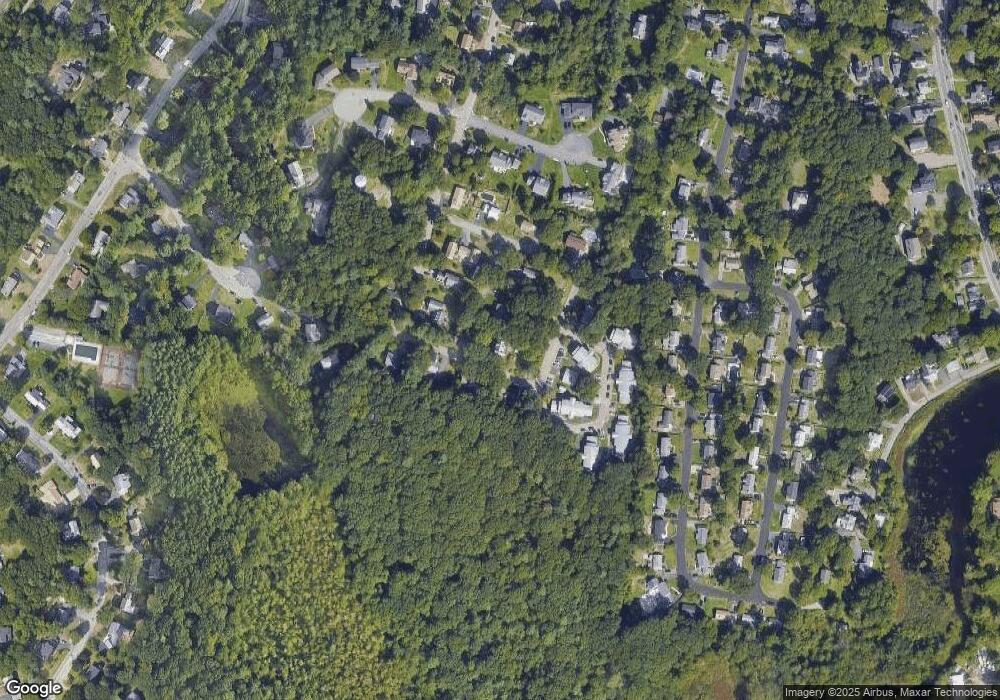
Map
Nearby Homes
- 64 Highland St
- 69 Pond St
- 29-31 Pond St
- 115 High St
- 353 Washington St
- 83 Neponset St Unit 83
- 4 Bayberry Dr Unit 3
- 59 Walpole St Unit 116
- 40 Bayberry Dr Unit 1
- 1 Revolution Way Unit 208
- 1 Revolution Way Unit 307
- 39 Christopher Dr Unit B
- 651 Washington St
- 3 Trowel Shop Pond Rd Unit 3
- 20 Trowel Shop Pond Rd Unit 24
- 16 Trowel Shop Pond Rd Unit 16
- 2 Trowel Shop Pond Rd Unit 2
- 8 Trowel Shop Pond Rd Unit 8
- 12 Trowel Shop Pond Rd Unit 12
- 24 Trowel Shop Pond Rd Unit 24