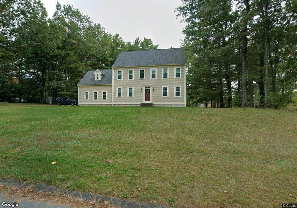
1 Heather Ln Sterling, MA 01564
Estimated Value: $645,000 - $768,000
4
Beds
3
Baths
2,449
Sq Ft
$284/Sq Ft
Est. Value
About This Home
This home is located at 1 Heather Ln, Sterling, MA 01564 and is currently estimated at $694,445, approximately $283 per square foot. 1 Heather Ln is a home located in Worcester County with nearby schools including Wachusett Regional High School.
Ownership History
Date
Name
Owned For
Owner Type
Purchase Details
Closed on
Feb 17, 2021
Sold by
Laflamme Gregory P and Laflamme Robin M
Bought by
Laflamme Rt 2020
Current Estimated Value
Purchase Details
Closed on
May 12, 1993
Sold by
Sterling Countryside
Bought by
Laflamme Gregory P and Laflamme Robin
Home Financials for this Owner
Home Financials are based on the most recent Mortgage that was taken out on this home.
Original Mortgage
$104,000
Interest Rate
7.47%
Mortgage Type
Purchase Money Mortgage
Create a Home Valuation Report for This Property
The Home Valuation Report is an in-depth analysis detailing your home's value as well as a comparison with similar homes in the area
Home Values in the Area
Average Home Value in this Area
Purchase History
We collect this data history from publicly available records. To have your information removed, we recommend requesting removal directly through your county’s website.
| Date | Buyer | Sale Price | Title Company |
|---|---|---|---|
| Laflamme Rt 2020 | -- | None Available | |
| Laflamme Gregory P | $130,000 | -- |
Source: Public Records
Mortgage History
We collect this data history from publicly available records. To have your information removed, we recommend requesting removal directly through your county’s website.
| Date | Status | Borrower | Loan Amount |
|---|---|---|---|
| Previous Owner | Laflamme Gregory P | $248,200 | |
| Previous Owner | Laflamme Gregory P | $100,000 | |
| Previous Owner | Laflamme Gregory P | $104,000 |
Source: Public Records
Tax History
| Year | Tax Paid | Tax Assessment Tax Assessment Total Assessment is a certain percentage of the fair market value that is determined by local assessors to be the total taxable value of land and additions on the property. | Land | Improvement |
|---|---|---|---|---|
| 2025 | $8,022 | $622,800 | $159,300 | $463,500 |
| 2024 | $7,814 | $587,100 | $154,000 | $433,100 |
| 2023 | $7,410 | $518,200 | $146,100 | $372,100 |
| 2022 | $6,759 | $443,200 | $135,200 | $308,000 |
| 2021 | $6,810 | $412,200 | $132,800 | $279,400 |
| 2020 | $7,060 | $420,000 | $144,800 | $275,200 |
| 2019 | $6,896 | $399,300 | $144,800 | $254,500 |
| 2018 | $6,711 | $382,600 | $133,900 | $248,700 |
| 2017 | $6,606 | $366,400 | $123,000 | $243,400 |
| 2016 | $6,670 | $363,900 | $123,000 | $240,900 |
| 2015 | $6,266 | $362,400 | $132,600 | $229,800 |
| 2014 | $6,027 | $356,000 | $132,600 | $223,400 |
Source: Public Records
Map
Nearby Homes
- 6 Jewett Rd Unit 6
- 223 Worcester Rd
- 4 Jewett Rd Unit 4
- 42 Newell Hill Rd
- 43 Trinity Ave
- 23 Chestnut Ave
- 127 N Main St
- 136 Fairbanks St
- 5 James Patten Dr
- 5 Pine Woods Ln
- 16 N Main St
- 371 Lancaster St Unit 3
- 279 Redemption Rock Trail
- 45 Neylon St
- 81 Clinton Rd
- 88 Clinton Rd
- 134 Leominster Rd
- 13 Leos Way Unit 13
- 15 Leos Way Unit 15
- 12 Cole Farm Rd
- 20 Muddy Pond Rd
- 3 Heather Ln
- 2 Heather Ln
- 22 Muddy Pond Rd
- 16 Muddy Pond Rd
- 5 Heather Ln
- 24 Muddy Pond Rd
- 4 Heather Ln
- 10 Karen Dr
- 14 Muddy Pond Rd
- 27 Muddy Pond Rd
- 7 Heather Ln
- 8 Karen Dr
- 28 Muddy Pond Rd
- 15 Oakwood Dr
- 6 Heather Ln
- 21 Muddy Pond Rd
- 33 Muddy Pond Rd
- 33 Muddy Pond Rd Unit 1
- 12 Muddy Pond Rd
Your Personal Tour Guide
Ask me questions while you tour the home.