1 Hector Rd Morris Plains, NJ 07950
Estimated Value: $830,000 - $894,000
--
Bed
--
Bath
2,694
Sq Ft
$318/Sq Ft
Est. Value
About This Home
This home is located at 1 Hector Rd, Morris Plains, NJ 07950 and is currently estimated at $856,033, approximately $317 per square foot. 1 Hector Rd is a home located in Morris County with nearby schools including Mount Tabor School, Brooklawn Middle School, and Parsippany Hills High School.
Ownership History
Date
Name
Owned For
Owner Type
Purchase Details
Closed on
Aug 28, 2003
Sold by
Schletter Dolores
Bought by
Plotts Bryan and Plotts Susan
Current Estimated Value
Home Financials for this Owner
Home Financials are based on the most recent Mortgage that was taken out on this home.
Original Mortgage
$275,000
Outstanding Balance
$128,537
Interest Rate
6.35%
Estimated Equity
$727,496
Purchase Details
Closed on
May 2, 1996
Sold by
Schletter Felix E
Bought by
Schletter Dolores E
Create a Home Valuation Report for This Property
The Home Valuation Report is an in-depth analysis detailing your home's value as well as a comparison with similar homes in the area
Home Values in the Area
Average Home Value in this Area
Purchase History
| Date | Buyer | Sale Price | Title Company |
|---|---|---|---|
| Plotts Bryan | $445,000 | -- | |
| Schletter Dolores E | -- | -- |
Source: Public Records
Mortgage History
| Date | Status | Borrower | Loan Amount |
|---|---|---|---|
| Open | Plotts Bryan | $275,000 |
Source: Public Records
Tax History Compared to Growth
Tax History
| Year | Tax Paid | Tax Assessment Tax Assessment Total Assessment is a certain percentage of the fair market value that is determined by local assessors to be the total taxable value of land and additions on the property. | Land | Improvement |
|---|---|---|---|---|
| 2025 | $16,046 | $461,900 | $207,100 | $254,800 |
| 2024 | $15,742 | $461,900 | $207,100 | $254,800 |
| 2023 | $15,742 | $461,900 | $207,100 | $254,800 |
| 2022 | $14,647 | $461,900 | $207,100 | $254,800 |
| 2021 | $14,647 | $461,900 | $207,100 | $254,800 |
| 2020 | $14,245 | $461,900 | $207,100 | $254,800 |
| 2019 | $13,862 | $461,900 | $207,100 | $254,800 |
| 2018 | $13,469 | $461,900 | $207,100 | $254,800 |
| 2017 | $13,164 | $461,900 | $207,100 | $254,800 |
| 2016 | $12,938 | $461,900 | $207,100 | $254,800 |
| 2015 | $12,610 | $461,900 | $207,100 | $254,800 |
| 2014 | $12,425 | $461,900 | $207,100 | $254,800 |
Source: Public Records
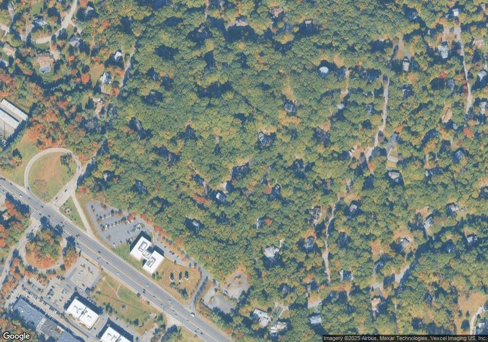
Map
Nearby Homes
- 42 Flintlock Rd
- 62 Fernview Rd
- 77 S Powder Mill Rd
- 83 Patriots Rd
- 65 Stockton Ct
- 84 Stockton Ct
- 2467 State Route 10 Unit 12-7A
- 2467 State Route 10 Unit 3B
- 2467 State Route 10 Unit 6-B
- 2467 State Route 10 Unit 5A
- 2467 State Route 10 Unit 24-6B
- 2467 Route10 Unit 1A
- 2467 New Jersey 10 Unit 6A
- 2467 New Jersey 10 Unit 1
- 2467 New Jersey 10 Unit 7A
- 2350 State Route 10 Unit D11
- 33 Continental Rd
- 2467 Route 10 Unit 4A
- 62 Brookstone Cir
- 840 Mountain Way
- 78 Flintlock Rd
- 85 Fernview Rd
- 58 Flintlock Rd
- 111 Fernview Rd
- 35 Hector Rd
- 89 Fernview Rd
- 100 Flintlock Rd
- 38 Flintlock Rd
- 55 Hector Rd
- 77 Flintlock Rd
- 57 Flintlock Rd
- 75 Fernview Rd
- 97 Flintlock Rd
- 6 Skyview Terrace
- 90 Fernview Rd
- 65 Hector Rd
- 120 Flintlock Rd
- 110 Fernview Rd
- 31 Flintlock Rd
- 69 Powder Mill Rd