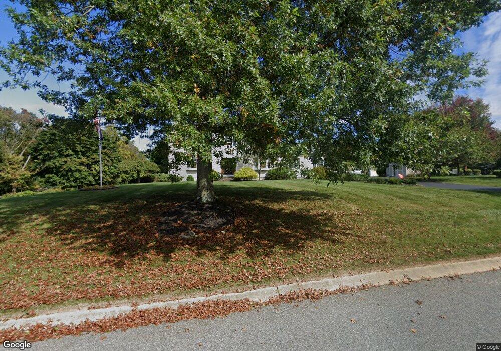
1 Highland Rd Hackettstown, NJ 07840
Estimated Value: $521,000 - $647,000
Studio
--
Bath
2,306
Sq Ft
$254/Sq Ft
Est. Value
About This Home
This home is located at 1 Highland Rd, Hackettstown, NJ 07840 and is currently estimated at $585,116, approximately $253 per square foot. 1 Highland Rd is a home located in Warren County with nearby schools including Great Meadows Regional Middle School.
Ownership History
Date
Name
Owned For
Owner Type
Purchase Details
Closed on
Nov 21, 2005
Sold by
Grano Richard A and Grano Angela M
Bought by
Wheaton Michael and Wheaton Linda
Current Estimated Value
Home Financials for this Owner
Home Financials are based on the most recent Mortgage that was taken out on this home.
Original Mortgage
$372,000
Outstanding Balance
$205,069
Interest Rate
6.14%
Mortgage Type
Stand Alone First
Estimated Equity
$380,047
Purchase Details
Closed on
Jul 15, 1996
Sold by
Mercer Robert E and Mercer Barbara J
Bought by
Grano Richard A and Patrone Angela M
Home Financials for this Owner
Home Financials are based on the most recent Mortgage that was taken out on this home.
Original Mortgage
$138,000
Interest Rate
6.75%
Create a Home Valuation Report for This Property
The Home Valuation Report is an in-depth analysis detailing your home's value as well as a comparison with similar homes in the area
Home Values in the Area
Average Home Value in this Area
Purchase History
| Date | Buyer | Sale Price | Title Company |
|---|---|---|---|
| Wheaton Michael | $465,000 | Central Jersey Title Co Inc | |
| Grano Richard A | $226,000 | -- |
Source: Public Records
Mortgage History
| Date | Status | Borrower | Loan Amount |
|---|---|---|---|
| Open | Wheaton Michael | $372,000 | |
| Previous Owner | Grano Richard A | $138,000 |
Source: Public Records
Tax History
| Year | Tax Paid | Tax Assessment Tax Assessment Total Assessment is a certain percentage of the fair market value that is determined by local assessors to be the total taxable value of land and additions on the property. | Land | Improvement |
|---|---|---|---|---|
| 2025 | $10,765 | $293,000 | $81,000 | $212,000 |
| 2024 | $10,527 | $293,000 | $81,000 | $212,000 |
Source: Public Records
Map
Nearby Homes
- 14 Russling Rd
- 00 Russling Rd Route46
- 208 Canal Way
- 133 Deerfield Dr
- 29 Main St
- 39 Overlook Dr
- 102 Highway 46
- 128 College View Dr
- 125 Riva Dr Unit 3A08A
- 313 Grand Ave
- 215 Grand Ave
- 9 Saw Mill Cir
- 5 Saw Mill Cir
- 6 Saw Mill Cir
- 49 Water St
- 108 Marilyn Dr
- 398 U S 46
- 216 High St
- 102 Miller St
- 242 U S 46
Your Personal Tour Guide
Ask me questions while you tour the home.