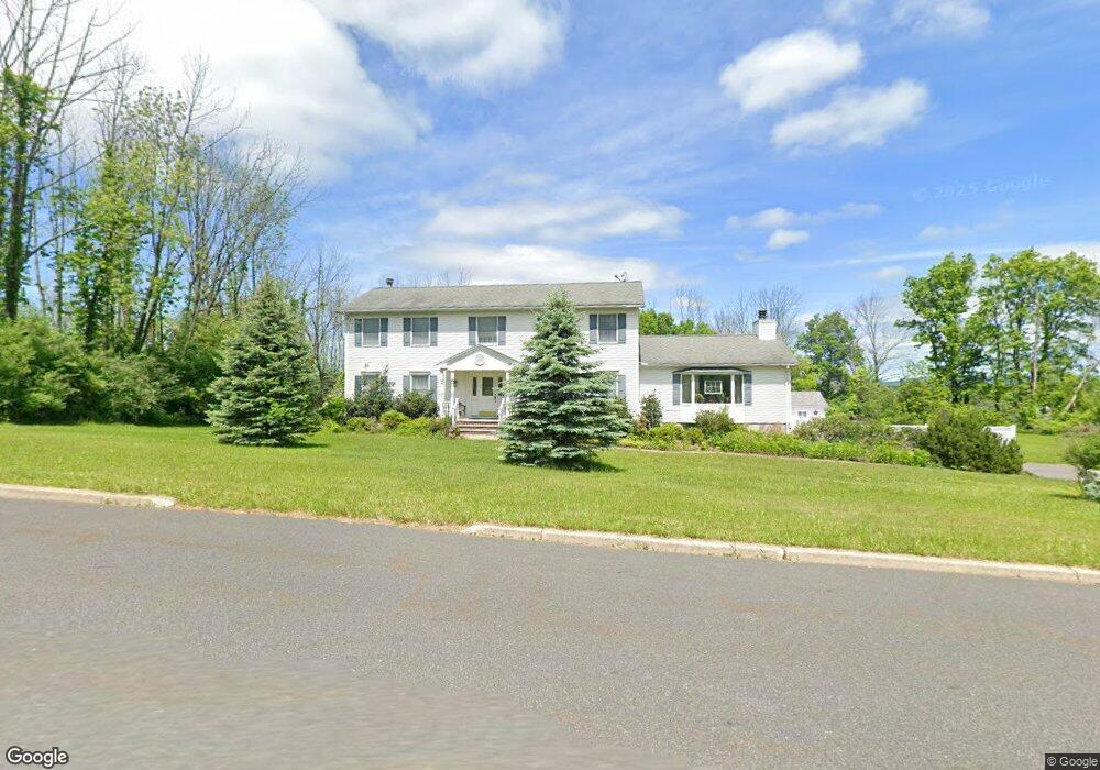
1 Highview Rd Newton, NJ 07860
Estimated Value: $628,487 - $775,000
Studio
--
Bath
3,075
Sq Ft
$232/Sq Ft
Est. Value
About This Home
This home is located at 1 Highview Rd, Newton, NJ 07860 and is currently estimated at $713,372, approximately $231 per square foot. 1 Highview Rd is a home located in Sussex County with nearby schools including Fredon Township School, Kittatinny Regional High School, and Lakeland Andover School.
Ownership History
Date
Name
Owned For
Owner Type
Purchase Details
Closed on
Jul 31, 1990
Bought by
Fronczkowski Paul and Fronczkowski Valeria
Current Estimated Value
Create a Home Valuation Report for This Property
The Home Valuation Report is an in-depth analysis detailing your home's value as well as a comparison with similar homes in the area
Home Values in the Area
Average Home Value in this Area
Purchase History
| Date | Buyer | Sale Price | Title Company |
|---|---|---|---|
| Fronczkowski Paul | $246,000 | -- |
Source: Public Records
Tax History
| Year | Tax Paid | Tax Assessment Tax Assessment Total Assessment is a certain percentage of the fair market value that is determined by local assessors to be the total taxable value of land and additions on the property. | Land | Improvement |
|---|---|---|---|---|
| 2025 | $12,658 | $406,100 | $111,600 | $294,500 |
| 2024 | $12,122 | $406,100 | $111,600 | $294,500 |
Source: Public Records
Map
Nearby Homes
- 9 Hilltop Rd
- 1 Running Hills Dr
- 386 Ridge Rd
- 208 Willows Rd
- 3 Ridgeview Rd
- 14 Ridge View Rd
- 38 Hillside Ave
- 78 Carriage Ln
- 114 Carriage Ln
- 11 Glenn Terrace
- 24 Shady Ln
- 427 New Jersey 94
- 22 Paterson Place
- 9 Lawnwood Ave
- 85 Madison St
- 19 Lawnwood Ave
- 37 Park Ave
- 46 Vail Dr
- 30 Old Swartswood Rd
- 108 Lake Ave
- 17 Sunset Ln
- 16 Running Hills Dr
- 3 Highview Rd
- 2 Highview Rd
- 14 Running Hills Dr
- 4 Highview Rd
- 20 Running Hills Dr
- 15 Sunset Ln
- 22 Running Hills Dr
- 6 Highview Rd
- 12 Running Hills Dr
- 16 Sunset Ln
- 24 Running Hills Dr
- 5 Highview Rd
- 19 Running Hills Dr
- 17 Running Hills Dr
- 21 Running Hills Dr
- 14 Sunset Ln
- 15 Running Hills Dr
- 13 Sunset Ln
Your Personal Tour Guide
Ask me questions while you tour the home.