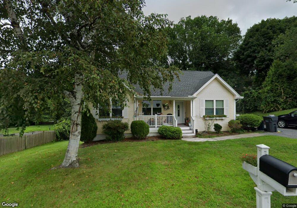
1 Hingham Rd North Grafton, MA 01536
Estimated Value: $486,000 - $539,157
3
Beds
2
Baths
1,017
Sq Ft
$509/Sq Ft
Est. Value
About This Home
This home is located at 1 Hingham Rd, North Grafton, MA 01536 and is currently estimated at $517,789, approximately $509 per square foot. 1 Hingham Rd is a home located in Worcester County with nearby schools including Grafton High School, Silver Spruce Montessori School, and Al-Hamra Academy.
Ownership History
Date
Name
Owned For
Owner Type
Purchase Details
Closed on
Feb 28, 2002
Sold by
Ohara Christine M
Bought by
Wilson Alison L
Current Estimated Value
Home Financials for this Owner
Home Financials are based on the most recent Mortgage that was taken out on this home.
Original Mortgage
$151,900
Outstanding Balance
$62,514
Interest Rate
6.85%
Mortgage Type
Purchase Money Mortgage
Estimated Equity
$455,275
Purchase Details
Closed on
Nov 25, 1998
Sold by
Parker John W
Bought by
Ohara Christine M
Purchase Details
Closed on
Jun 29, 1993
Sold by
Maynard Francis
Bought by
Parker John W
Create a Home Valuation Report for This Property
The Home Valuation Report is an in-depth analysis detailing your home's value as well as a comparison with similar homes in the area
Home Values in the Area
Average Home Value in this Area
Purchase History
| Date | Buyer | Sale Price | Title Company |
|---|---|---|---|
| Wilson Alison L | $189,900 | -- | |
| Wilson Alison L | $189,900 | -- | |
| Ohara Christine M | $136,900 | -- | |
| Ohara Christine M | $136,900 | -- | |
| Parker John W | $90,000 | -- | |
| Parker John W | $90,000 | -- |
Source: Public Records
Mortgage History
| Date | Status | Borrower | Loan Amount |
|---|---|---|---|
| Open | Parker John W | $151,900 | |
| Closed | Parker John W | $151,900 |
Source: Public Records
Tax History Compared to Growth
Tax History
| Year | Tax Paid | Tax Assessment Tax Assessment Total Assessment is a certain percentage of the fair market value that is determined by local assessors to be the total taxable value of land and additions on the property. | Land | Improvement |
|---|---|---|---|---|
| 2025 | $6,945 | $498,200 | $177,100 | $321,100 |
| 2024 | $6,799 | $475,100 | $168,700 | $306,400 |
| 2023 | $6,539 | $416,200 | $168,700 | $247,500 |
| 2022 | $6,264 | $371,100 | $144,900 | $226,200 |
| 2021 | $6,095 | $354,800 | $131,700 | $223,100 |
| 2020 | $5,854 | $354,800 | $131,700 | $223,100 |
| 2019 | $5,564 | $334,000 | $127,900 | $206,100 |
| 2018 | $5,085 | $306,500 | $127,100 | $179,400 |
| 2017 | $4,904 | $299,000 | $119,600 | $179,400 |
| 2016 | $4,573 | $273,000 | $96,000 | $177,000 |
| 2015 | $4,481 | $271,600 | $94,900 | $176,700 |
| 2014 | $4,120 | $270,000 | $112,100 | $157,900 |
Source: Public Records
Map
Nearby Homes
- 14 Northgate Ct Unit 14
- 17 Hingham Rd
- 194 Worcester St
- 11 Hovey Pond Dr Unit 11
- 7 Hovey Pond Dr Unit 7
- 22 Beverly Rd
- 44 Meadow Ln
- 4 Westboro Rd
- 76 Samuel Dr
- 0 East St
- 21 Lordvale Blvd Unit 406
- 39 Creeper Hill Rd
- 3 Abby Rd
- 5 Lincoln Ln Unit 5
- 4 Winslow Ln Unit 1410
- 28 Lincoln Ln
- 46 John Dr Unit 46
- 156 Brigham Hill Rd
- 5 Edward Dr
- 1 Hastings Ave