1 Honey Locust Ln Sandwich, MA 02563
Estimated Value: $1,049,000 - $1,417,000
3
Beds
3
Baths
2,944
Sq Ft
$405/Sq Ft
Est. Value
About This Home
This home is located at 1 Honey Locust Ln, Sandwich, MA 02563 and is currently estimated at $1,193,735, approximately $405 per square foot. 1 Honey Locust Ln is a home located in Barnstable County with nearby schools including Sandwich Middle High School and Montessori School of Sandwich.
Ownership History
Date
Name
Owned For
Owner Type
Purchase Details
Closed on
Jul 5, 2023
Sold by
Gibson Ellen P
Bought by
Ellen Gibson Ret and Gibson
Current Estimated Value
Purchase Details
Closed on
May 25, 2023
Sold by
Gibson Robert D
Bought by
Gibson Ellen P
Purchase Details
Closed on
Aug 11, 1997
Sold by
Cape Cod Golf Prop Inc
Bought by
Gibson Robert D
Create a Home Valuation Report for This Property
The Home Valuation Report is an in-depth analysis detailing your home's value as well as a comparison with similar homes in the area
Home Values in the Area
Average Home Value in this Area
Purchase History
| Date | Buyer | Sale Price | Title Company |
|---|---|---|---|
| Ellen Gibson Ret | -- | None Available | |
| Gibson Ellen P | -- | None Available | |
| Gibson Robert D | $105,000 | -- |
Source: Public Records
Mortgage History
| Date | Status | Borrower | Loan Amount |
|---|---|---|---|
| Previous Owner | Gibson Robert D | $417,000 | |
| Previous Owner | Gibson Robert D | $465,000 | |
| Previous Owner | Gibson Robert D | $475,000 |
Source: Public Records
Tax History Compared to Growth
Tax History
| Year | Tax Paid | Tax Assessment Tax Assessment Total Assessment is a certain percentage of the fair market value that is determined by local assessors to be the total taxable value of land and additions on the property. | Land | Improvement |
|---|---|---|---|---|
| 2025 | $10,252 | $969,900 | $190,600 | $779,300 |
| 2024 | $10,196 | $944,100 | $170,200 | $773,900 |
| 2023 | $9,975 | $867,400 | $154,800 | $712,600 |
| 2022 | $8,996 | $683,600 | $138,200 | $545,400 |
| 2021 | $8,587 | $623,600 | $138,900 | $484,700 |
| 2020 | $8,939 | $624,700 | $159,200 | $465,500 |
| 2019 | $8,921 | $623,000 | $202,600 | $420,400 |
| 2018 | $8,215 | $574,900 | $178,900 | $396,000 |
| 2017 | $8,954 | $599,700 | $189,400 | $410,300 |
| 2016 | $8,633 | $596,600 | $187,500 | $409,100 |
| 2015 | $8,873 | $598,700 | $197,800 | $400,900 |
Source: Public Records
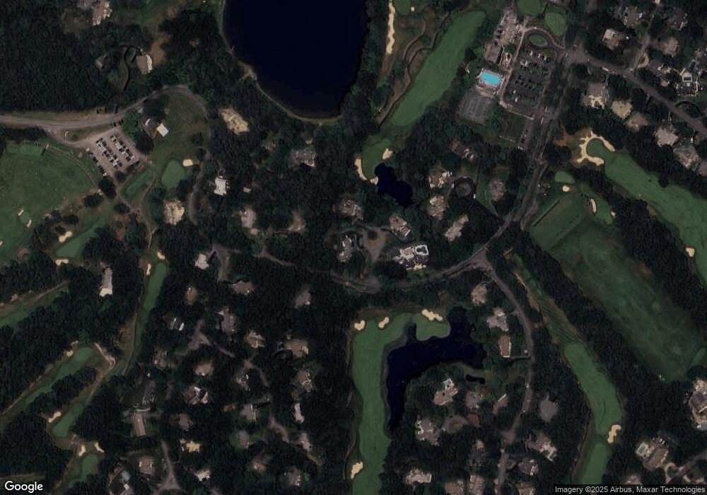
Map
Nearby Homes
- 3 Glenwood Ln
- 5 Aviators Ln
- 10 Wintergreen Ln
- 15 Hunters Trail
- 15 Hunters Tr
- 46 Holly Ridge Dr
- 111 Reflection Dr
- 3 Anne Cir
- 315 Blackthorn Rd
- 34 Southpoint Dr
- 84 Harlow Rd
- 34 White Moss Dr
- 17 Southpoint Dr Unit 17
- 17 Southpoint Dr Unit 17C
- 289 Santuit-Newtown Rd
- 159 Cinderella Terrace
- 58 Southpoint Dr Unit J
- 65 Bosuns Way
- 19 Oriole Ln
- 3 Honey Locust Ln
- 102 Country Club Rd
- 2 Honey Locust Ln
- 98 Country Club Rd
- 4 Little Hog Pond Ln
- 104 Country Club Rd
- 1 Glenwood Ln
- 100 Country Club Rd
- 5 Glenwood Ln
- 5 Quail Hollow Cir
- 3 Quail Hollow Cir
- 3 Little Hog Pond Ln
- 5 Little Hog Pond Ln
- 2 Reflection Dr
- 7 Quail Hollow Cir
- 98 Holly Ridge Dr
- 106 Country Club Rd
- 4 Glenwood Ln
- 101 Holly Ridge Dr
- 2 Glenwood Ln