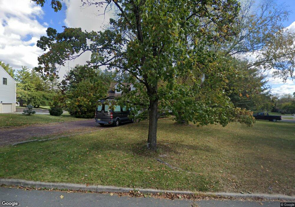
1 Hook Dr Milford, NJ 08848
Estimated Value: $503,057 - $656,000
Studio
--
Bath
2,218
Sq Ft
$264/Sq Ft
Est. Value
About This Home
This home is located at 1 Hook Dr, Milford, NJ 08848 and is currently estimated at $586,264, approximately $264 per square foot. 1 Hook Dr is a home located in Hunterdon County with nearby schools including Holland Township Elementary School and Delaware Valley Regional High School.
Ownership History
Date
Name
Owned For
Owner Type
Purchase Details
Closed on
Jun 25, 2008
Sold by
Kurtz Lynette and Kurtz Frank
Bought by
Myers John and Myers Constance
Current Estimated Value
Purchase Details
Closed on
Feb 21, 2006
Sold by
Kurtz Frank and Kurtz Lynette
Bought by
Kurtz Lynette
Home Financials for this Owner
Home Financials are based on the most recent Mortgage that was taken out on this home.
Original Mortgage
$275,000
Interest Rate
6.27%
Mortgage Type
New Conventional
Purchase Details
Closed on
Nov 20, 2000
Sold by
Kalinski Robert J
Bought by
Kurtz Frank and Kurtz Lynette
Home Financials for this Owner
Home Financials are based on the most recent Mortgage that was taken out on this home.
Original Mortgage
$200,000
Interest Rate
7.78%
Create a Home Valuation Report for This Property
The Home Valuation Report is an in-depth analysis detailing your home's value as well as a comparison with similar homes in the area
Home Values in the Area
Average Home Value in this Area
Purchase History
| Date | Buyer | Sale Price | Title Company |
|---|---|---|---|
| Myers John | $420,000 | Commonwealth | |
| Kurtz Lynette | -- | Prus Title Agency Llc | |
| Kurtz Frank | $290,000 | -- |
Source: Public Records
Mortgage History
| Date | Status | Borrower | Loan Amount |
|---|---|---|---|
| Previous Owner | Kurtz Lynette | $275,000 | |
| Previous Owner | Kurtz Frank | $200,000 |
Source: Public Records
Tax History
| Year | Tax Paid | Tax Assessment Tax Assessment Total Assessment is a certain percentage of the fair market value that is determined by local assessors to be the total taxable value of land and additions on the property. | Land | Improvement |
|---|---|---|---|---|
| 2025 | $10,329 | $318,800 | $77,900 | $240,900 |
| 2024 | $9,988 | $318,800 | $77,900 | $240,900 |
Source: Public Records
Map
Nearby Homes
- 8 Elmhurst Rd
- 2 Abrams Rd
- 4 Roselle St
- 98 Church Rd
- 402 Hunt Dr Unit 10
- 26 Winding Way
- 435 Spring Mills-Lt Yk Rd
- 213 York Rd
- 224 Bellis Rd
- 2 Center St
- 00 Sweet Hollow Rd
- 0 Sweet Hollow Rd
- 11 Paetzell Farm Ct
- 9 Paetzell Farm Ct
- 7 Paetzell Farm Ct
- 5 Paetzell Farm Ct
- 3 Paetzell Farm Ct
- 0 Phyllis Ln Unit 4009528
- 16 Schaaf Rd
- 10 Green St
Your Personal Tour Guide
Ask me questions while you tour the home.