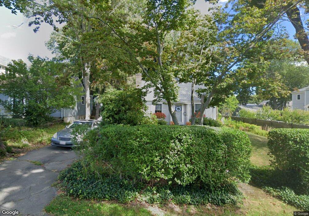
1 Howe St Hingham, MA 02043
Crow Point NeighborhoodEstimated Value: $750,809 - $1,246,000
2
Beds
1
Bath
845
Sq Ft
$1,121/Sq Ft
Est. Value
About This Home
This home is located at 1 Howe St, Hingham, MA 02043 and is currently estimated at $947,202, approximately $1,120 per square foot. 1 Howe St is a home located in Plymouth County with nearby schools including William L. Foster Elementary School, Hingham Middle School, and Hingham High School.
Ownership History
Date
Name
Owned For
Owner Type
Purchase Details
Closed on
Sep 13, 2019
Sold by
Farnum Mary E
Bought by
Mcgilvray Mary E
Current Estimated Value
Create a Home Valuation Report for This Property
The Home Valuation Report is an in-depth analysis detailing your home's value as well as a comparison with similar homes in the area
Home Values in the Area
Average Home Value in this Area
Purchase History
| Date | Buyer | Sale Price | Title Company |
|---|---|---|---|
| Mcgilvray Mary E | -- | -- |
Source: Public Records
Tax History Compared to Growth
Tax History
| Year | Tax Paid | Tax Assessment Tax Assessment Total Assessment is a certain percentage of the fair market value that is determined by local assessors to be the total taxable value of land and additions on the property. | Land | Improvement |
|---|---|---|---|---|
| 2025 | $6,973 | $652,300 | $414,000 | $238,300 |
| 2024 | $6,792 | $626,000 | $414,000 | $212,000 |
| 2023 | $5,975 | $597,500 | $414,000 | $183,500 |
| 2022 | $5,630 | $487,000 | $345,000 | $142,000 |
| 2021 | $5,560 | $471,200 | $345,000 | $126,200 |
| 2020 | $4,957 | $429,900 | $303,600 | $126,300 |
| 2019 | $4,945 | $418,700 | $303,600 | $115,100 |
| 2018 | $6,279 | $416,500 | $303,600 | $112,900 |
| 2017 | $4,716 | $385,000 | $273,200 | $111,800 |
| 2016 | $4,646 | $372,000 | $260,200 | $111,800 |
| 2015 | $4,506 | $359,600 | $247,800 | $111,800 |
Source: Public Records
Map
Nearby Homes
- 12 Daley Rd
- 17 Paige St
- 53 Bel Air Rd - To Be Built
- 16 Foley Beach Rd
- 81 Kimball Beach Rd
- 125 Halsted Dr Unit 125
- 132 Hms Stayner Dr Unit 132
- 246 North St
- 130 Broad Reach Unit 206
- 83 North St
- 191 South St
- 225 South St Unit 1
- 51 Broad Reach Unit T23A
- 73 Broad Reach Unit M36C
- 73 Broad Reach Unit M21C
- 21 Hersey St
- 19 Lantern Ln
- 18 West St
- 112 Martins Ln
- 10R Martins Ln