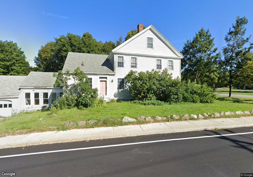
1 Hubbardston Rd Princeton, MA 01541
Estimated Value: $448,000 - $588,000
4
Beds
4
Baths
3,980
Sq Ft
$133/Sq Ft
Est. Value
About This Home
This home is located at 1 Hubbardston Rd, Princeton, MA 01541 and is currently estimated at $528,073, approximately $132 per square foot. 1 Hubbardston Rd is a home located in Worcester County with nearby schools including Wachusett Regional High School.
Ownership History
Date
Name
Owned For
Owner Type
Purchase Details
Closed on
Oct 15, 2009
Sold by
Sands Roger D and Sands Marcia L
Bought by
Sands Lt and Sands
Current Estimated Value
Purchase Details
Closed on
Aug 11, 1983
Bought by
Olesin Andrew S
Create a Home Valuation Report for This Property
The Home Valuation Report is an in-depth analysis detailing your home's value as well as a comparison with similar homes in the area
Home Values in the Area
Average Home Value in this Area
Purchase History
| Date | Buyer | Sale Price | Title Company |
|---|---|---|---|
| Sands Lt | -- | -- | |
| Sands Lt | -- | -- | |
| Olesin Andrew S | $95,000 | -- | |
| Sands Lt | -- | -- |
Source: Public Records
Mortgage History
| Date | Status | Borrower | Loan Amount |
|---|---|---|---|
| Previous Owner | Olesin Andrew S | $140,000 | |
| Previous Owner | Olesin Andrew S | $100,000 | |
| Previous Owner | Olesin Andrew S | $87,500 |
Source: Public Records
Tax History Compared to Growth
Tax History
| Year | Tax Paid | Tax Assessment Tax Assessment Total Assessment is a certain percentage of the fair market value that is determined by local assessors to be the total taxable value of land and additions on the property. | Land | Improvement |
|---|---|---|---|---|
| 2025 | $6,630 | $456,300 | $118,600 | $337,700 |
| 2024 | $6,287 | $448,100 | $116,500 | $331,600 |
| 2023 | $5,905 | $390,000 | $91,900 | $298,100 |
| 2022 | $5,646 | $360,100 | $91,900 | $268,200 |
| 2021 | $5,521 | $342,500 | $91,900 | $250,600 |
| 2020 | $5,338 | $336,800 | $91,900 | $244,900 |
| 2019 | $5,088 | $317,600 | $89,300 | $228,300 |
| 2018 | $5,049 | $292,200 | $73,800 | $218,400 |
| 2017 | $4,843 | $272,400 | $99,900 | $172,500 |
| 2016 | $5,091 | $286,000 | $113,500 | $172,500 |
Source: Public Records
Map
Nearby Homes
- 20 Mountain Rd
- 28 Merriam Rd
- 58 Merriam Rd
- 11 Mirick Rd
- 134 Mountain Rd
- 17 Coal Kiln Rd
- 100 Houghton Rd
- 14 Oak Cir
- 9 Stagecoach Rd
- 15 Stagecoach Rd
- 166 Ball Hill Rd
- 56 Hubbardston Rd
- 20 Town Farm Rd
- 751 Mason Rd
- 161 Beaman Rd
- 46 Pine Hill Rd
- 47 Pine Hill Rd
- 81 Glenwood Place
- 271 Glenwood Rd
- 193 Justice Hill Road Cutoff
- Lot 1D Hubbardstob Rd
- Lot 2 Hubbardston Rd
- 0 Hubbardston Rd (Off) Unit 73142608
- 0 Mountain Rd
- 4 Mountain Rd
- 0 Mountain Rd L:42d Unit 71223989
- 0 Mountain Rd L:42d Unit 71769910
- 1 Mountain Rd
- 5 Hubbardston Rd
- 2 Mountain Rd
- 2 Mountain Rd
- 2 Mountain Rd Unit 1
- 2 Worcester Rd
- 7 Boylston Ave
- 6 Mountain Rd
- 4 Worcester Rd
- 12 Boylston Ave
- 0 Hubbardston Rd
- Lot 1 Mountain Rd
- 10 Mountain Rd