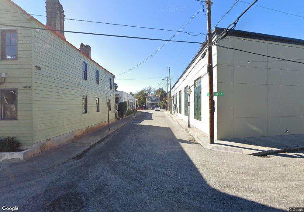
1 Jackrigs Charleston, SC 29403
Wagener Terrace NeighborhoodEstimated Value: $1,855,000 - $2,758,000
Studio
--
Bath
4,156
Sq Ft
$568/Sq Ft
Est. Value
About This Home
This home is located at 1 Jackrigs, Charleston, SC 29403 and is currently estimated at $2,360,358, approximately $567 per square foot. 1 Jackrigs is a home located in Charleston County with nearby schools including James Simons Elementary School, Mitchell Elementary School, and Simmons Pinckney Middle.
Ownership History
Date
Name
Owned For
Owner Type
Purchase Details
Closed on
Aug 11, 2010
Sold by
Rbc Bank Usa
Bought by
White William E and White Betty
Current Estimated Value
Home Financials for this Owner
Home Financials are based on the most recent Mortgage that was taken out on this home.
Original Mortgage
$196,000
Interest Rate
4.61%
Mortgage Type
Future Advance Clause Open End Mortgage
Purchase Details
Closed on
Jul 1, 2009
Sold by
Marr William Corbin and Marr William C
Bought by
Rbc Bank Usa and Rbc Centura Bank
Purchase Details
Closed on
May 25, 2005
Sold by
Marr Elizabeth Middleton
Bought by
Marr Elizabeth Middleton and Marr William Corbin
Purchase Details
Closed on
May 19, 2003
Sold by
Lowndes Point Partners Llc
Bought by
Marr William Corbin
Create a Home Valuation Report for This Property
The Home Valuation Report is an in-depth analysis detailing your home's value as well as a comparison with similar homes in the area
Home Values in the Area
Average Home Value in this Area
Purchase History
| Date | Buyer | Sale Price | Title Company |
|---|---|---|---|
| White William E | $253,000 | -- | |
| Rbc Bank Usa | $332,000 | -- | |
| Marr Elizabeth Middleton | -- | -- | |
| Marr William Corbin | $415,000 | -- |
Source: Public Records
Mortgage History
| Date | Status | Borrower | Loan Amount |
|---|---|---|---|
| Closed | White William E | $196,000 |
Source: Public Records
Tax History
| Year | Tax Paid | Tax Assessment Tax Assessment Total Assessment is a certain percentage of the fair market value that is determined by local assessors to be the total taxable value of land and additions on the property. | Land | Improvement |
|---|---|---|---|---|
| 2024 | $6,339 | $45,690 | $0 | $0 |
| 2023 | $5,788 | $45,690 | $0 | $0 |
| 2022 | $5,451 | $45,690 | $0 | $0 |
| 2021 | $5,056 | $19,390 | $0 | $0 |
| 2020 | $5,019 | $19,390 | $0 | $0 |
| 2019 | $4,579 | $16,860 | $0 | $0 |
| 2017 | $4,371 | $16,860 | $0 | $0 |
| 2016 | $4,227 | $16,860 | $0 | $0 |
| 2015 | $4,031 | $16,860 | $0 | $0 |
| 2014 | $3,578 | $0 | $0 | $0 |
| 2011 | -- | $0 | $0 | $0 |
Source: Public Records
Map
Nearby Homes
- 1011 Ashley Ave
- 995 Ashley Ave
- 119 Peachtree St
- 242 W Poplar St
- 136 Maple St
- 924 Rutledge Ave
- 930 Ashley Ave
- 171 Mary Ellen Dr
- 43 N Enston Ave
- 10 Magnolia Ave
- 1328 Cottonwood St
- 872 Ashley Ave
- 829 Rutledge Ave
- 220 3rd Ave Unit 4B
- 208 Gordon St
- 119 Simons St
- 224 Grove St
- 237 Gordon St
- 1150 King St
- 7 Gordon St
- 3 Jackrigs
- 34 Lowndes Point Dr
- 34 Lowndes Pointe Dr
- 27 Lowndes Pointe Dr
- 32 Lowndes Pointe Dr
- 25 Lowndes Pointe Dr
- 0 Sunnyside Ave
- 28 Lowndes Pointe Dr
- 21 Lowndes Pointe Dr
- 26 Lowndes Pointe Dr
- 24 Lowndes Pointe Dr
- 19 Lowndes Pointe Dr
- 22 Lowndes Pointe Dr
- 17 Lowndes Pointe Dr
- 20 Lowndes Pointe Dr
- 15 Lowndes Pointe Dr
- 16 Parrothead Ln
- 13 Lowndes Pointe Dr
- 14 Parrothead St
- 11 Lowndes Pointe Dr
Your Personal Tour Guide
Ask me questions while you tour the home.