1 John Matthew Rd Hopkinton, MA 01748
Estimated Value: $1,357,000 - $1,647,000
4
Beds
3
Baths
3,928
Sq Ft
$374/Sq Ft
Est. Value
About This Home
This home is located at 1 John Matthew Rd, Hopkinton, MA 01748 and is currently estimated at $1,468,427, approximately $373 per square foot. 1 John Matthew Rd is a home located in Middlesex County with nearby schools including Elmwood Elementary School, Hopkins Elementary School, and Marathon Elementary School.
Ownership History
Date
Name
Owned For
Owner Type
Purchase Details
Closed on
Apr 10, 2000
Sold by
Hull Dale H and Hull Deborah L
Bought by
Litscher Paula P and Litscher Erik K
Current Estimated Value
Purchase Details
Closed on
Oct 20, 1997
Sold by
Alunkal John M and Alunkal Mariam J
Bought by
Hull Dale H and Hull Deborah L
Create a Home Valuation Report for This Property
The Home Valuation Report is an in-depth analysis detailing your home's value as well as a comparison with similar homes in the area
Home Values in the Area
Average Home Value in this Area
Purchase History
| Date | Buyer | Sale Price | Title Company |
|---|---|---|---|
| Hull Dale H | $456,500 | -- | |
| Litscher Paula P | $630,000 | -- | |
| Hull Dale H | $456,500 | -- |
Source: Public Records
Mortgage History
| Date | Status | Borrower | Loan Amount |
|---|---|---|---|
| Open | Hull Dale H | $401,000 | |
| Closed | Hull Dale H | $417,000 |
Source: Public Records
Tax History Compared to Growth
Tax History
| Year | Tax Paid | Tax Assessment Tax Assessment Total Assessment is a certain percentage of the fair market value that is determined by local assessors to be the total taxable value of land and additions on the property. | Land | Improvement |
|---|---|---|---|---|
| 2025 | $17,958 | $1,266,400 | $485,300 | $781,100 |
| 2024 | $17,723 | $1,213,100 | $462,600 | $750,500 |
| 2023 | $17,114 | $1,082,500 | $382,900 | $699,600 |
| 2022 | $16,855 | $989,700 | $348,500 | $641,200 |
| 2021 | $16,404 | $960,400 | $338,900 | $621,500 |
| 2020 | $15,648 | $930,300 | $331,100 | $599,200 |
| 2019 | $15,863 | $923,900 | $307,100 | $616,800 |
| 2018 | $15,245 | $902,100 | $301,000 | $601,100 |
| 2017 | $14,603 | $869,200 | $292,300 | $576,900 |
| 2016 | $14,419 | $846,700 | $286,600 | $560,100 |
| 2015 | $14,364 | $799,800 | $278,400 | $521,400 |
Source: Public Records
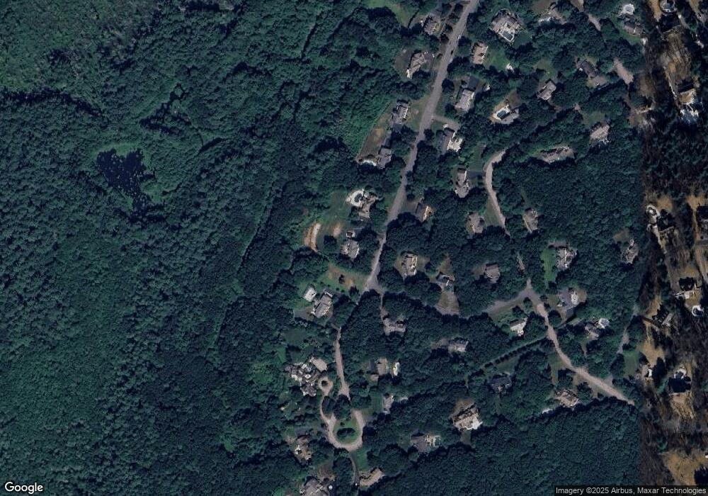
Map
Nearby Homes
- 10 Andrea Dr
- 27 Elizabeth Rd
- 56 W Elm St
- 50 W Elm St
- 9 Wescott Dr
- 24 Pinecrest Village Unit 24
- 2 Country Way
- 38 W Elm St
- 34 Priscilla Rd
- 271 Pond St
- 28A Downey St
- 28 Downey St
- 53 Cider Mill Ln
- 48 Downey St
- 40 Lakepoint Way Unit 40
- 18 Lakeshore Dr
- 5 North St
- 6 Hillcrest Dr
- 6 Yale Rd
- 16 Boot Shop Rd Unit 39
- 0 Lot 1 Andrea Dr Unit 50376931
- 3 John Matthew Rd
- 2 John Matthew Rd
- 4 Andrea Dr
- 0 Lot 4 John Matthew Rd Unit 50392484
- 0 Lot 4 John Matthew Rd Unit 50373325
- 4 John Matthew Rd
- 4 David Joseph Rd
- 20 Elizabeth Rd
- 3 Andrea Dr
- 18 Elizabeth Rd
- 3 David Joseph Rd
- 22 Elizabeth Rd
- 7 John Matthew Rd
- 1 David Joseph Rd
- 15 Elizabeth Rd
- 9 John Matthew Rd
- 8 John Matthew Rd
- 28 Elizabeth Rd
- 26 Elizabeth Rd