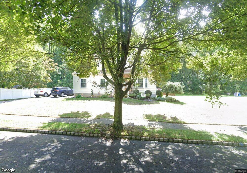
1 Katherine Ct East Windsor, NJ 08520
Estimated Value: $469,000 - $570,000
--
Bed
--
Bath
1,612
Sq Ft
$330/Sq Ft
Est. Value
About This Home
This home is located at 1 Katherine Ct, East Windsor, NJ 08520 and is currently estimated at $531,518, approximately $329 per square foot. 1 Katherine Ct is a home located in Mercer County with nearby schools including Melvin H. Kreps Middle School, Hightstown High School, and SciCore Academy.
Ownership History
Date
Name
Owned For
Owner Type
Purchase Details
Closed on
Oct 21, 1996
Sold by
Lochiatto Vito
Bought by
Irwin William and Irwin Janet
Current Estimated Value
Home Financials for this Owner
Home Financials are based on the most recent Mortgage that was taken out on this home.
Original Mortgage
$186,000
Outstanding Balance
$17,275
Interest Rate
8.22%
Estimated Equity
$514,243
Create a Home Valuation Report for This Property
The Home Valuation Report is an in-depth analysis detailing your home's value as well as a comparison with similar homes in the area
Home Values in the Area
Average Home Value in this Area
Purchase History
| Date | Buyer | Sale Price | Title Company |
|---|---|---|---|
| Irwin William | $195,600 | -- |
Source: Public Records
Mortgage History
| Date | Status | Borrower | Loan Amount |
|---|---|---|---|
| Open | Irwin William | $186,000 |
Source: Public Records
Tax History Compared to Growth
Tax History
| Year | Tax Paid | Tax Assessment Tax Assessment Total Assessment is a certain percentage of the fair market value that is determined by local assessors to be the total taxable value of land and additions on the property. | Land | Improvement |
|---|---|---|---|---|
| 2025 | $12,202 | $328,000 | $146,000 | $182,000 |
| 2024 | $11,552 | $328,000 | $146,000 | $182,000 |
| 2023 | $11,552 | $328,000 | $146,000 | $182,000 |
| 2022 | $11,254 | $328,000 | $146,000 | $182,000 |
| 2021 | $11,172 | $328,000 | $146,000 | $182,000 |
| 2020 | $11,185 | $328,000 | $146,000 | $182,000 |
| 2019 | $11,083 | $328,000 | $146,000 | $182,000 |
| 2018 | $10,939 | $328,000 | $146,000 | $182,000 |
| 2017 | $10,929 | $328,000 | $198,200 | $129,800 |
| 2016 | $10,775 | $328,000 | $198,200 | $129,800 |
| 2015 | $12,481 | $387,500 | $198,200 | $189,300 |
| 2014 | $12,334 | $387,500 | $198,200 | $189,300 |
Source: Public Records
Map
Nearby Homes
- 453 Route 33 E
- 336 Monmouth St
- 219 Maxwell Ave
- 344 Monmouth St
- 43 Norton Ave
- 23 Barton Dr
- 1N Lake Dr
- 13 Avon Dr Unit P
- 4 Brakeman Ct
- 128 Monmouth St
- 7A Dennison Dr Unit A
- 9 J Dennison Dr
- C9 Avon Dr E
- 164 Mill Run E Unit 141
- 234 Probasco Rd
- 158 Mill Run E
- D16 Avon Dr
- 406 Bolton Rd
- 108 Orchard Ave
- 302 S Main St
- 3 Katherine Ct
- 2 Katherine Ct
- 5 Katherine Ct
- 4 Katherine Ct
- 60 Woodside Ave
- 54 Woodside Ave
- 6 Katherine Ct
- 57 Woodside Ave
- 63 Woodside Ave
- 7 Katherine Ct
- 11 Hillside Ave
- 9 Hillside Ave
- 8 Katherine Ct
- 13 Hillside Ave
- 55 Woodside Ave
- 50 Woodside Ave
- 48 Woodside Ave
- 15 Hillside Ave
- 61 Woodside Ave
- 17 Hillside Ave