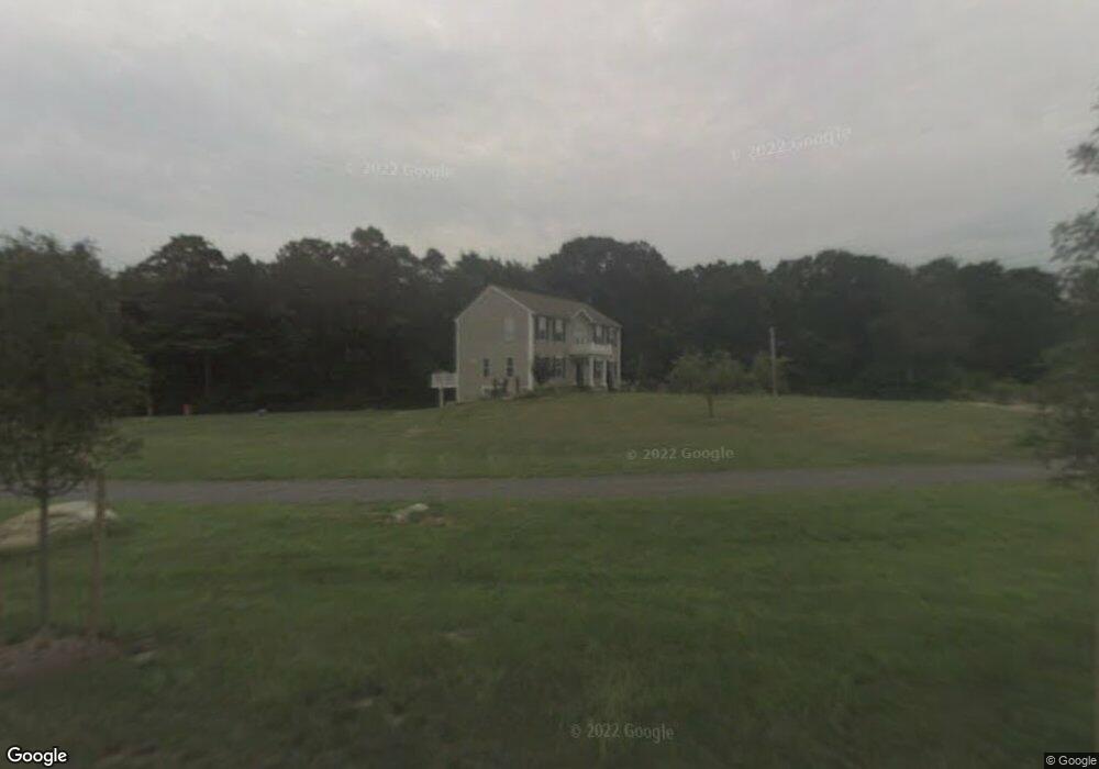
1 Kelsey Ln North Dartmouth, MA 02747
Estimated Value: $704,000 - $861,000
3
Beds
3
Baths
2,352
Sq Ft
$342/Sq Ft
Est. Value
About This Home
This home is located at 1 Kelsey Ln, North Dartmouth, MA 02747 and is currently estimated at $803,778, approximately $341 per square foot. 1 Kelsey Ln is a home located in Bristol County with nearby schools including Dartmouth High School.
Ownership History
Date
Name
Owned For
Owner Type
Purchase Details
Closed on
Sep 14, 2018
Sold by
Zhu Yong
Bought by
Zhu Yong and Li Leiming
Current Estimated Value
Purchase Details
Closed on
Jun 4, 2009
Sold by
Desroches Eli and Desroches Laurie
Bought by
Zhu Yong
Home Financials for this Owner
Home Financials are based on the most recent Mortgage that was taken out on this home.
Original Mortgage
$422,211
Interest Rate
4.83%
Mortgage Type
Purchase Money Mortgage
Create a Home Valuation Report for This Property
The Home Valuation Report is an in-depth analysis detailing your home's value as well as a comparison with similar homes in the area
Home Values in the Area
Average Home Value in this Area
Purchase History
| Date | Buyer | Sale Price | Title Company |
|---|---|---|---|
| Zhu Yong | -- | -- | |
| Zhu Yong | $430,000 | -- |
Source: Public Records
Mortgage History
| Date | Status | Borrower | Loan Amount |
|---|---|---|---|
| Previous Owner | Zhu Yong | $422,211 | |
| Previous Owner | Zhu Yong | $220,000 |
Source: Public Records
Tax History Compared to Growth
Tax History
| Year | Tax Paid | Tax Assessment Tax Assessment Total Assessment is a certain percentage of the fair market value that is determined by local assessors to be the total taxable value of land and additions on the property. | Land | Improvement |
|---|---|---|---|---|
| 2025 | $6,240 | $676,800 | $250,400 | $426,400 |
| 2024 | $6,097 | $658,400 | $243,200 | $415,200 |
| 2023 | $5,822 | $588,100 | $200,800 | $387,300 |
| 2022 | $5,514 | $512,900 | $200,800 | $312,100 |
| 2021 | $5,449 | $490,000 | $195,200 | $294,800 |
| 2020 | $5,431 | $485,800 | $193,200 | $292,600 |
| 2019 | $5,209 | $467,200 | $185,400 | $281,800 |
| 2018 | $4,930 | $448,600 | $189,300 | $259,300 |
| 2017 | $4,660 | $428,300 | $174,800 | $253,500 |
| 2016 | $4,360 | $395,600 | $145,200 | $250,400 |
| 2015 | $4,277 | $388,800 | $135,700 | $253,100 |
| 2014 | $4,183 | $378,900 | $132,000 | $246,900 |
Source: Public Records
Map
Nearby Homes
- 73 White Oak Run
- 2 Slades Farm Ln
- 225 Hixbridge Rd
- 920 Drift Rd
- 1150 Russells Mills Rd
- 47 Fallon Dr
- 0 Hidden Glen Ln
- 118 Charlotte White Rd Extension
- 99 Sylvia Ln
- Lot 0 Marcotte
- Lot 2E Horseneck Rd
- 837 Main Rd
- 837 Main Road & Lot 2
- 7 Village Way
- 8 Village Way
- 8 Strawberry Ln
- 15 Village Way
- 101 Adamsville Rd
- 118 Charlotte White Rd
- 248 Bakerville Rd
- 193 Gidley Town Rd
- 141 White Oak Run
- 147 White Oak Run
- 2 Kelsey Ln
- 161 Gidley Town Rd
- 0 Division Rd
- 0 Division Rd Unit 30649733
- 188 Gidley Town Rd
- 0 White Oak Run Unit 71123826
- 0 White Oak Run Unit 71356646
- 0 White Oak Run Unit 71447144
- 0 White Oak Run Unit 71874198
- 0 White Oak Run Unit 72047012
- 0 White Oak Run Unit 72885528
- 125 White Oak Run
- 0 Division Rd Unit 72368540
- 0 Division Rd
- 0 Division Rd Unit 730720
- 0 Division Rd Unit 1199108
- 0 Division Rd Unit 1213581