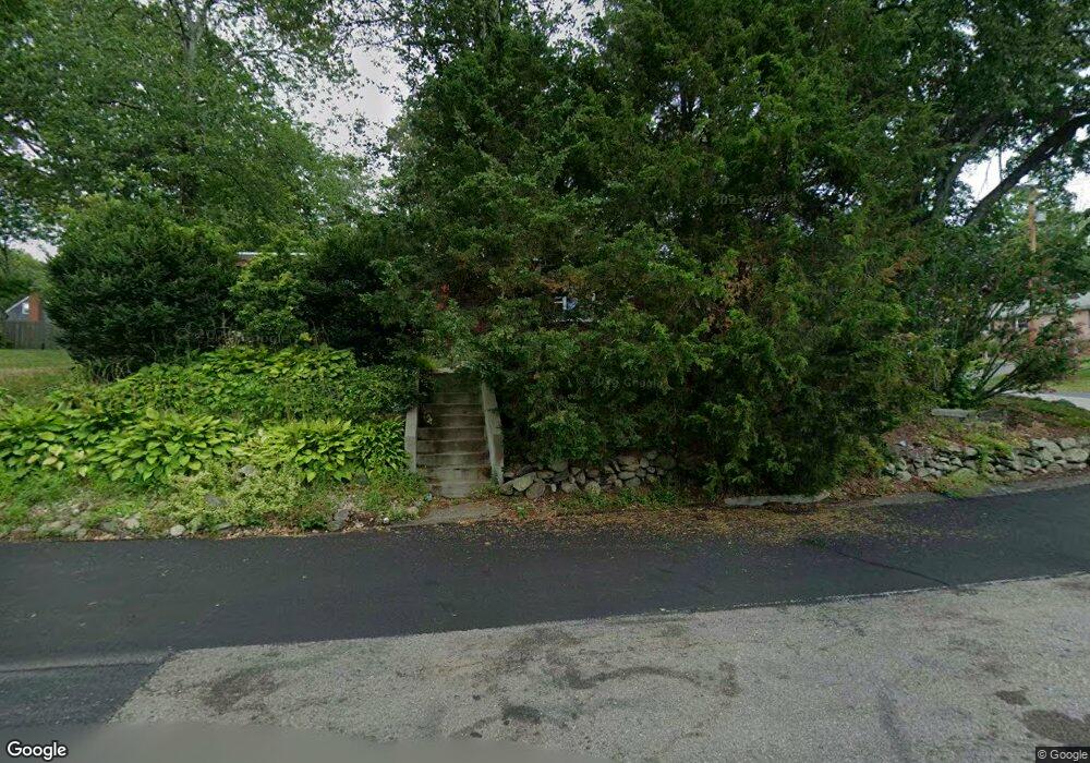
1 Kevin St North Attleboro, MA 02760
North Attleboro NeighborhoodEstimated Value: $540,000 - $587,619
3
Beds
3
Baths
1,462
Sq Ft
$384/Sq Ft
Est. Value
About This Home
This home is located at 1 Kevin St, North Attleboro, MA 02760 and is currently estimated at $561,405, approximately $383 per square foot. 1 Kevin St is a home located in Bristol County with nearby schools including North Attleboro High School, Cadence Academy Preschool - North Attleborough, and Bishop Feehan High School.
Ownership History
Date
Name
Owned For
Owner Type
Purchase Details
Closed on
Aug 14, 1998
Sold by
Ligthart Jelte and Whitman Debra M
Bought by
Kenney Michael P and Kenney Karleen M
Current Estimated Value
Home Financials for this Owner
Home Financials are based on the most recent Mortgage that was taken out on this home.
Original Mortgage
$129,540
Outstanding Balance
$27,072
Interest Rate
6.94%
Mortgage Type
Purchase Money Mortgage
Estimated Equity
$534,334
Create a Home Valuation Report for This Property
The Home Valuation Report is an in-depth analysis detailing your home's value as well as a comparison with similar homes in the area
Home Values in the Area
Average Home Value in this Area
Purchase History
| Date | Buyer | Sale Price | Title Company |
|---|---|---|---|
| Kenney Michael P | $127,000 | -- |
Source: Public Records
Mortgage History
| Date | Status | Borrower | Loan Amount |
|---|---|---|---|
| Open | Kenney Michael P | $129,540 | |
| Previous Owner | Kenney Michael P | $100,000 |
Source: Public Records
Tax History Compared to Growth
Tax History
| Year | Tax Paid | Tax Assessment Tax Assessment Total Assessment is a certain percentage of the fair market value that is determined by local assessors to be the total taxable value of land and additions on the property. | Land | Improvement |
|---|---|---|---|---|
| 2025 | $5,996 | $508,600 | $146,500 | $362,100 |
| 2024 | $5,671 | $491,400 | $146,500 | $344,900 |
| 2023 | $5,628 | $440,000 | $152,900 | $287,100 |
| 2022 | $5,083 | $364,900 | $146,500 | $218,400 |
| 2021 | $5,266 | $369,000 | $146,500 | $222,500 |
| 2020 | $4,949 | $344,900 | $146,500 | $198,400 |
| 2019 | $4,722 | $331,600 | $133,200 | $198,400 |
| 2018 | $4,147 | $310,900 | $133,200 | $177,700 |
| 2017 | $3,996 | $302,300 | $133,200 | $169,100 |
| 2016 | $3,933 | $297,500 | $154,300 | $143,200 |
| 2015 | $3,837 | $292,000 | $160,800 | $131,200 |
| 2014 | $3,596 | $271,600 | $141,100 | $130,500 |
Source: Public Records
Map
Nearby Homes
- 334 S Washington St
- 50 Metcalf Rd
- 0 Anawan Rd
- 130 E Washington St Unit 84
- 130 E Washington St Unit 71
- 49 Hoppin Hill Ave
- 25 Gregory Way
- 80 Broadway Unit 9
- 40 Sperry Ln
- 30 Sperry Ln Unit Lot 15
- 121 E Washington St Unit 13
- 121 E Washington St Unit 11
- 121 E Washington St Unit 12
- 121 E Washington St Unit 8
- 121 E Washington St Unit 6
- 19 Metcalf Cir
- 33 Ash St
- 160 Crescent Ave
- 300 E Washington St Unit 4M
- 300 E Washington St Unit 54R