1 Landing Ln Somers Point, NJ 08244
Estimated Value: $912,000 - $1,561,000
--
Bed
--
Bath
3,307
Sq Ft
$405/Sq Ft
Est. Value
About This Home
This home is located at 1 Landing Ln, Somers Point, NJ 08244 and is currently estimated at $1,339,125, approximately $404 per square foot. 1 Landing Ln is a home located in Atlantic County with nearby schools including Mainland Regional High School, ChARTer TECH High School for the Performing Arts, and Saint Joseph Regional School.
Ownership History
Date
Name
Owned For
Owner Type
Purchase Details
Closed on
May 29, 2019
Sold by
Pfund Cjristine and Eagg Pfund E
Bought by
Bray Michael S and Bray Kimberly J
Current Estimated Value
Home Financials for this Owner
Home Financials are based on the most recent Mortgage that was taken out on this home.
Original Mortgage
$467,500
Outstanding Balance
$411,872
Interest Rate
4.2%
Mortgage Type
New Conventional
Estimated Equity
$927,253
Purchase Details
Closed on
Mar 20, 2007
Sold by
Pfund E Gregg
Bought by
Pfund Christine
Purchase Details
Closed on
Jul 31, 1992
Sold by
Oflynn Joseph
Bought by
Pfund Pfund E and Pfund Christine
Create a Home Valuation Report for This Property
The Home Valuation Report is an in-depth analysis detailing your home's value as well as a comparison with similar homes in the area
Home Values in the Area
Average Home Value in this Area
Purchase History
| Date | Buyer | Sale Price | Title Company |
|---|---|---|---|
| Bray Michael S | $550,000 | Surety Title Company | |
| Pfund Christine | -- | -- | |
| Pfund Pfund E | $447,000 | -- |
Source: Public Records
Mortgage History
| Date | Status | Borrower | Loan Amount |
|---|---|---|---|
| Open | Bray Michael S | $467,500 |
Source: Public Records
Tax History Compared to Growth
Tax History
| Year | Tax Paid | Tax Assessment Tax Assessment Total Assessment is a certain percentage of the fair market value that is determined by local assessors to be the total taxable value of land and additions on the property. | Land | Improvement |
|---|---|---|---|---|
| 2025 | $30,171 | $843,700 | $442,400 | $401,300 |
| 2024 | $30,171 | $843,700 | $442,400 | $401,300 |
| 2023 | $28,188 | $843,700 | $442,400 | $401,300 |
| 2022 | $28,188 | $843,700 | $442,400 | $401,300 |
| 2021 | $27,766 | $843,700 | $442,400 | $401,300 |
| 2020 | $27,201 | $843,700 | $442,400 | $401,300 |
| 2019 | $26,433 | $843,700 | $442,400 | $401,300 |
| 2018 | $25,876 | $843,700 | $442,400 | $401,300 |
| 2017 | $24,948 | $843,700 | $442,400 | $401,300 |
| 2016 | $23,818 | $843,700 | $442,400 | $401,300 |
| 2015 | $23,573 | $843,700 | $442,400 | $401,300 |
| 2014 | $22,780 | $843,700 | $442,400 | $401,300 |
Source: Public Records
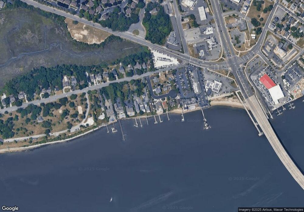
Map
Nearby Homes
- 421 Shore Rd
- 137 W Johnson Ave
- 25 W Pierson Ave
- 1102 Jesse Dr
- 2102 Angelina Ln
- 109 E Cedar Ave
- 101 E Johnson Ave
- 29 E Pierson Ave
- 123 E Cedar Ave
- 112 E Pierson Ave
- 114 E Pierson Ave
- 1020 Pleasant Ave
- 1013 Pleasant Ave
- 1014 Pleasant Ave
- 1024 Pleasant Ave
- 1015 Pleasant Ave
- 33 W Meyran Ave
- 226 Bethel Rd
- 303 Garden Terrace
- 1002 Pleasant Ave
- 431 1st St Unit 431
- 429 1st St Unit 429
- 113 W Groveland Ave
- 115 W Groveland Ave
- 427 1st St Unit 427
- 425 1st St
- 118 W Groveland Ave
- 451 1st St
- 119 W Groveland Ave
- 120 W Groveland Ave
- 122 W Groveland Ave
- 129 W Groveland Ave
- 150 W Cedar Ave Unit 2B
- 150 W Cedar Ave Unit 1D
- 150 W Cedar Ave Unit 4f
- 150 W Cedar Ave Unit 1A
- 150 W Cedar Ave Unit 2C
- 150 W Cedar Ave Unit 2E
- 150 W Cedar Ave Unit A-3
- 150 W Cedar Ave Unit A-2