1 Lebreton Cir Winchendon, MA 01475
Estimated Value: $387,000 - $478,000
3
Beds
2
Baths
2,268
Sq Ft
$191/Sq Ft
Est. Value
About This Home
This home is located at 1 Lebreton Cir, Winchendon, MA 01475 and is currently estimated at $434,081, approximately $191 per square foot. 1 Lebreton Cir is a home located in Worcester County with nearby schools including Memorial, Toy Town Elementary School, and The Winchendon School.
Ownership History
Date
Name
Owned For
Owner Type
Purchase Details
Closed on
Nov 30, 2009
Sold by
Lebreton Ronald J and Lebreton Pauline G
Bought by
Oakes Diane E
Current Estimated Value
Home Financials for this Owner
Home Financials are based on the most recent Mortgage that was taken out on this home.
Original Mortgage
$179,193
Outstanding Balance
$117,000
Interest Rate
4.92%
Mortgage Type
Purchase Money Mortgage
Estimated Equity
$317,081
Create a Home Valuation Report for This Property
The Home Valuation Report is an in-depth analysis detailing your home's value as well as a comparison with similar homes in the area
Home Values in the Area
Average Home Value in this Area
Purchase History
| Date | Buyer | Sale Price | Title Company |
|---|---|---|---|
| Oakes Diane E | $182,500 | -- | |
| Oakes Diane E | $182,500 | -- |
Source: Public Records
Mortgage History
| Date | Status | Borrower | Loan Amount |
|---|---|---|---|
| Open | Oakes Diane E | $179,193 | |
| Closed | Oakes Diane E | $179,193 |
Source: Public Records
Tax History Compared to Growth
Tax History
| Year | Tax Paid | Tax Assessment Tax Assessment Total Assessment is a certain percentage of the fair market value that is determined by local assessors to be the total taxable value of land and additions on the property. | Land | Improvement |
|---|---|---|---|---|
| 2025 | $4,031 | $343,100 | $49,700 | $293,400 |
| 2024 | $3,881 | $309,500 | $45,400 | $264,100 |
| 2023 | $4,024 | $300,300 | $43,200 | $257,100 |
| 2022 | $3,561 | $235,700 | $54,500 | $181,200 |
| 2021 | $3,380 | $215,000 | $48,000 | $167,000 |
| 2020 | $3,303 | $202,900 | $45,800 | $157,100 |
| 2019 | $3,223 | $192,900 | $42,800 | $150,100 |
| 2018 | $3,048 | $175,700 | $39,700 | $136,000 |
| 2017 | $3,048 | $169,600 | $37,900 | $131,700 |
| 2016 | $2,876 | $165,000 | $36,100 | $128,900 |
| 2015 | $2,759 | $165,000 | $36,100 | $128,900 |
| 2014 | $2,676 | $167,700 | $43,000 | $124,700 |
Source: Public Records
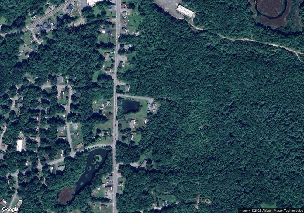
Map
Nearby Homes
- 159 Glenallen St
- 151 Glenallen St
- 148 Glenallen St
- 160 Glenallen St
- 147 Glenallen St
- 165 Glenallen St
- 166 Glenallen St
- 11 Cabot Rd
- 9 Cabot Rd
- 171 Glenallen St
- 30 Carriage Ln
- 5 Cabot Rd
- 1 Cabot Rd
- 3 Cabot Rd
- 137 Glenallen St
- 170 Glenallen St
- 140 Glenallen St
- 173 Glenallen St
- 28 Carriage Ln
- 10 Cabot Rd