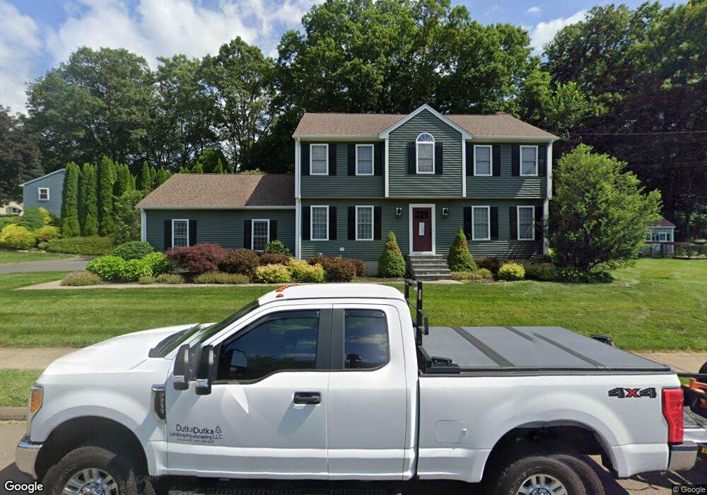
1 Legion Rd Seymour, CT 06483
Estimated Value: $499,000 - $702,000
4
Beds
3
Baths
2,174
Sq Ft
$273/Sq Ft
Est. Value
About This Home
This home is located at 1 Legion Rd, Seymour, CT 06483 and is currently estimated at $594,288, approximately $273 per square foot. 1 Legion Rd is a home located in New Haven County with nearby schools including Seymour Middle School and Seymour High School.
Ownership History
Date
Name
Owned For
Owner Type
Purchase Details
Closed on
Apr 16, 1999
Sold by
White Robert and White Nancy
Bought by
Palumbo John H and Palumbo Beth A
Current Estimated Value
Home Financials for this Owner
Home Financials are based on the most recent Mortgage that was taken out on this home.
Original Mortgage
$188,000
Interest Rate
7.04%
Mortgage Type
Purchase Money Mortgage
Purchase Details
Closed on
Apr 21, 1997
Sold by
Duplese Eleanor M
Bought by
Lupkas Richard
Create a Home Valuation Report for This Property
The Home Valuation Report is an in-depth analysis detailing your home's value as well as a comparison with similar homes in the area
Home Values in the Area
Average Home Value in this Area
Purchase History
| Date | Buyer | Sale Price | Title Company |
|---|---|---|---|
| Palumbo John H | $235,000 | -- | |
| Lupkas Richard | $69,900 | -- | |
| Palumbo John H | $235,000 | -- | |
| Lupkas Richard | $69,900 | -- |
Source: Public Records
Mortgage History
| Date | Status | Borrower | Loan Amount |
|---|---|---|---|
| Open | Lupkas Richard | $50,000 | |
| Closed | Lupkas Richard | $136,000 | |
| Closed | Lupkas Richard | $188,000 |
Source: Public Records
Tax History Compared to Growth
Tax History
| Year | Tax Paid | Tax Assessment Tax Assessment Total Assessment is a certain percentage of the fair market value that is determined by local assessors to be the total taxable value of land and additions on the property. | Land | Improvement |
|---|---|---|---|---|
| 2025 | $10,243 | $369,530 | $57,470 | $312,060 |
| 2024 | $8,773 | $238,140 | $49,420 | $188,720 |
| 2023 | $8,568 | $238,140 | $49,420 | $188,720 |
| 2022 | $8,475 | $238,140 | $49,420 | $188,720 |
| 2021 | $8,266 | $238,140 | $49,420 | $188,720 |
| 2020 | $7,817 | $217,140 | $58,100 | $159,040 |
| 2019 | $7,817 | $217,140 | $58,100 | $159,040 |
| 2018 | $7,817 | $217,140 | $58,100 | $159,040 |
| 2017 | $7,817 | $217,140 | $58,100 | $159,040 |
| 2016 | $7,817 | $217,140 | $58,100 | $159,040 |
| 2015 | $7,884 | $227,920 | $60,970 | $166,950 |
| 2014 | $7,758 | $227,920 | $60,970 | $166,950 |
Source: Public Records
Map
Nearby Homes
- 31 Skokorat St
- 10 Highland Ave
- 35 Cogwheel Ln
- 10 Miller Rd
- 80 North St
- 32 Roberts St
- 21 Great Oak Ridge Way Unit 21
- 17 Meadow St Unit 23
- 226 Walnut St
- 58 Anthony Ct
- 58 Acorn Hill Rd
- 5 Forest Hollow Rd
- 60 Acorn Hill Rd
- 167 Bethmour Rd
- 38 Sanford St
- 72D Walnut St
- 26-28 S Main St
- 16 3rd St
- 9 Wooster St
- 77 S Main St