1 Liberty Corner Rd Far Hills, NJ 07931
Estimated Value: $4,167,198 - $6,090,000
3
Beds
3
Baths
18,350
Sq Ft
$264/Sq Ft
Est. Value
About This Home
This home is located at 1 Liberty Corner Rd, Far Hills, NJ 07931 and is currently estimated at $4,843,399, approximately $263 per square foot. 1 Liberty Corner Rd is a home located in Somerset County with nearby schools including Bernardsville Middle School, Bernards High School, and Far Hills Country Day School.
Ownership History
Date
Name
Owned For
Owner Type
Purchase Details
Closed on
Dec 22, 2008
Sold by
Gold Janice R
Bought by
Ripplebrook Llc
Current Estimated Value
Purchase Details
Closed on
Feb 15, 1990
Sold by
Gold Janice
Bought by
Gold Janice
Create a Home Valuation Report for This Property
The Home Valuation Report is an in-depth analysis detailing your home's value as well as a comparison with similar homes in the area
Home Values in the Area
Average Home Value in this Area
Purchase History
| Date | Buyer | Sale Price | Title Company |
|---|---|---|---|
| Ripplebrook Llc | -- | None Available | |
| Gold Janice | -- | -- |
Source: Public Records
Tax History Compared to Growth
Tax History
| Year | Tax Paid | Tax Assessment Tax Assessment Total Assessment is a certain percentage of the fair market value that is determined by local assessors to be the total taxable value of land and additions on the property. | Land | Improvement |
|---|---|---|---|---|
| 2025 | $58,649 | $4,885,500 | $698,900 | $4,186,600 |
| 2024 | $58,649 | $4,585,500 | $658,800 | $3,926,700 |
| 2023 | $57,485 | $4,358,200 | $633,500 | $3,724,700 |
| 2022 | $56,214 | $4,236,200 | $627,000 | $3,609,200 |
| 2021 | $55,553 | $4,102,300 | $608,700 | $3,493,600 |
| 2020 | $55,553 | $4,093,800 | $602,500 | $3,491,300 |
| 2019 | $57,286 | $4,221,500 | $602,500 | $3,619,000 |
| 2018 | $57,374 | $4,268,900 | $614,800 | $3,654,100 |
| 2017 | $58,525 | $4,474,400 | $647,000 | $3,827,400 |
| 2016 | $57,893 | $4,453,300 | $640,500 | $3,812,800 |
| 2015 | $57,264 | $4,408,300 | $640,500 | $3,767,800 |
| 2014 | $55,563 | $4,264,200 | $640,500 | $3,623,700 |
Source: Public Records
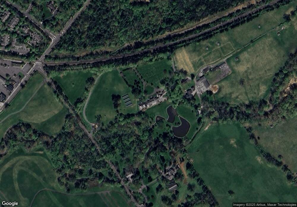
Map
Nearby Homes
- 6 Polo Club Rd
- 12 Hurlingham Club Rd
- 10 Hurlingham Club Rd
- 12 Peapack Rd
- 48 Sunny Branch Rd
- 20 Whitaker Ln
- 174 Liberty Corner Rd
- 0 Private Rd Unit 3966400
- 365 Mine Brook Rd
- 1595 U S 206
- 19 Gatehouse Rd
- 19 Emily Rd
- 2250 Lamington Rd
- 570 Mine Brook Rd
- 50 Hidden Valley Rd
- 49 Liberty Corner Rd
- 41 Abby Rd
- 43 Abby Rd
- 45 Abby Rd Pendry Natirar
- 21 Parkside Rd
- 9 Ashington Club Rd
- 11 Ashington Club Rd
- 13 Ashington Club Rd Unit 18
- 6 Sunny Branch Rd
- 15 Ashington Club Rd
- 18A Ashington Club Rd
- 18F Ashington Club Rd
- 18 F Ashington Club
- 18P Ashington Club Rd Unit 28116
- 18G Ashington Club Rd
- 18Q Ashington Club Rd Unit 28117
- 18B Ashington Club Rd
- 18I Ashington Club Rd
- 18R Ashington Club Rd
- 18H Ashington Club Rd Unit 28108
- 18S Ashington Club Rd
- 18C Ashington Club Rd
- 18J Ashington Club Rd Unit 28110
- 4 Milburn Way Unit 1760
- 2 Milburn Way