Estimated Value: $947,000 - $1,838,000
5
Beds
6
Baths
3,824
Sq Ft
$307/Sq Ft
Est. Value
About This Home
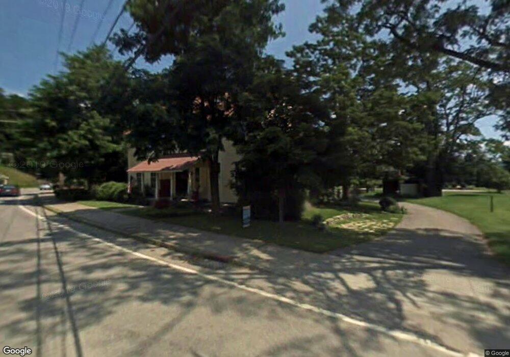
This home is located at 1 Locust Ln, Hague, NY 12836 and is currently estimated at $1,173,592, approximately $306 per square foot. 1 Locust Ln is a home located in Warren County with nearby schools including Ticonderoga Elementary School, Ticonderoga Middle School, and Ticonderoga Senior High School.
Ownership History
Date
Name
Owned For
Owner Type
Purchase Details
Closed on
Aug 12, 2025
Sold by
Burns Brian W
Bought by
Locust Lake Brook Llc
Current Estimated Value
Purchase Details
Closed on
Dec 7, 2012
Sold by
Dunn David
Bought by
Burns Brian
Home Financials for this Owner
Home Financials are based on the most recent Mortgage that was taken out on this home.
Original Mortgage
$392,000
Interest Rate
3.46%
Mortgage Type
New Conventional
Create a Home Valuation Report for This Property
The Home Valuation Report is an in-depth analysis detailing your home's value as well as a comparison with similar homes in the area
Home Values in the Area
Average Home Value in this Area
Purchase History
| Date | Buyer | Sale Price | Title Company |
|---|---|---|---|
| Locust Lake Brook Llc | -- | -- | |
| Burns Brian | $490,000 | Michael Keenan | |
| Burns Brian | $490,000 | Michael Keenan |
Source: Public Records
Mortgage History
| Date | Status | Borrower | Loan Amount |
|---|---|---|---|
| Previous Owner | Burns Brian | $392,000 |
Source: Public Records
Tax History Compared to Growth
Tax History
| Year | Tax Paid | Tax Assessment Tax Assessment Total Assessment is a certain percentage of the fair market value that is determined by local assessors to be the total taxable value of land and additions on the property. | Land | Improvement |
|---|---|---|---|---|
| 2024 | $8,102 | $729,000 | $148,000 | $581,000 |
| 2023 | $7,903 | $729,000 | $148,000 | $581,000 |
| 2022 | $6,880 | $357,500 | $67,700 | $289,800 |
| 2021 | $6,734 | $357,500 | $67,700 | $289,800 |
| 2020 | $6,954 | $357,500 | $67,700 | $289,800 |
| 2019 | $6,727 | $357,500 | $67,700 | $289,800 |
| 2018 | $6,727 | $357,500 | $67,700 | $289,800 |
| 2017 | $6,558 | $357,500 | $67,700 | $289,800 |
| 2016 | $6,540 | $357,500 | $67,700 | $289,800 |
| 2015 | -- | $357,500 | $67,700 | $289,800 |
| 2014 | -- | $357,500 | $67,700 | $289,800 |
Source: Public Records
Map
Nearby Homes
- 16 Locust Ln Unit 3
- 42 Overbrook Rd
- 24 Holman Hill Rd
- 268 Dodd Hill Rd
- L57 Dodd Hill Rd
- 4 Cranberry Ln
- 24 Hollow Haven
- 0 Chipwick Dr Unit 202110109
- 841 Battle Hill Rd
- 55 Pine Cove Rd
- L20.2 Dark Bay Pkwy
- 340 W Hague Rd
- 392 W Hague Rd
- 538 Gull Bay Rd
- 2518 Indian Point Way
- 9325 Graphite Mountain Rd
- 699 Gull Bay Rd
- 376 W Hague Rd
- 407 W Hague Rd
- 25 Tannery Ln
- L4 Lakeshore Dr
- 189 A B Dodd Hill Rd
- 0 Rte 8 (Graphie Unit Rd)
- 0 W Hauge Rd
- 0,0,6,12 Route 9n Spring Manor Dr
- 36 Arcady Bay - Bobcat Ln
- 132 Sabbath Day Pt Rd
- 39 Bobcat Ln
- 0 Box 55 Hollow Rd
- 0 Rrt 9n
- 0 Brooksid Route 8 Main St
- 0 Box 422 Sabbath Day Pt Rd
- 00 Graphite Mt Rd
- 9848 Graphite Mtn Rd
- 0 None Overbrook Dr
- 0 Overbrook Extention
- 38 Bobcat Ln
- 0 Commons Way Friends
- 76 Sabbath Day Pt Rd
- 0 Sabbath Day Pt Rd