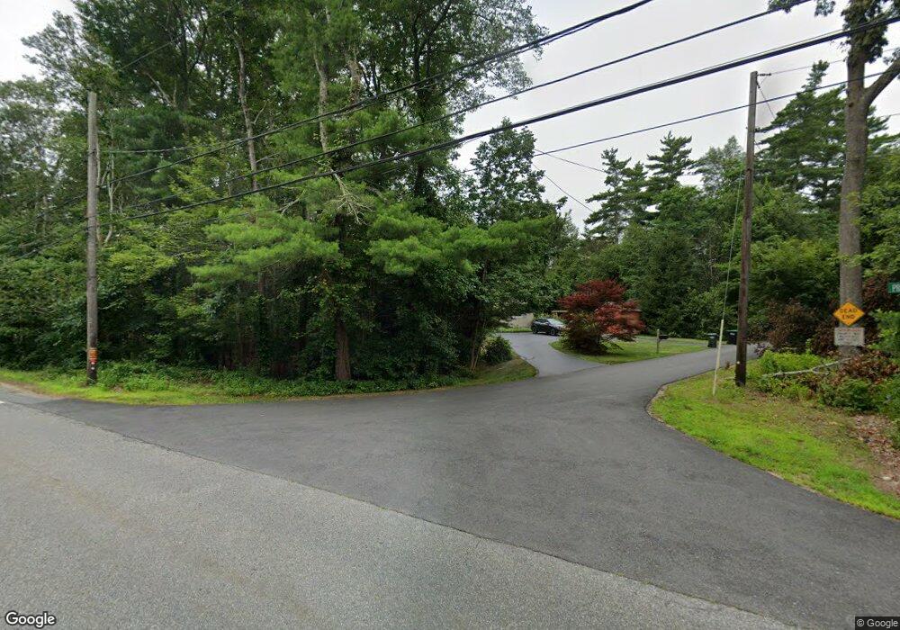
1 Long Pond Shore Rd Lakeville, MA 02347
Estimated Value: $587,000 - $748,000
3
Beds
2
Baths
1,752
Sq Ft
$394/Sq Ft
Est. Value
About This Home
This home is located at 1 Long Pond Shore Rd, Lakeville, MA 02347 and is currently estimated at $689,904, approximately $393 per square foot. 1 Long Pond Shore Rd is a home located in Plymouth County with nearby schools including Assawompset Elementary School, George R Austin Intermediate School, and Freetown-Lakeville Middle School.
Ownership History
Date
Name
Owned For
Owner Type
Purchase Details
Closed on
Oct 13, 1999
Sold by
Kenney Lawrence L and Kenney Linda L
Bought by
Tardie Robert J and Tardie Rosalie C
Current Estimated Value
Home Financials for this Owner
Home Financials are based on the most recent Mortgage that was taken out on this home.
Original Mortgage
$165,000
Interest Rate
7.8%
Mortgage Type
Purchase Money Mortgage
Create a Home Valuation Report for This Property
The Home Valuation Report is an in-depth analysis detailing your home's value as well as a comparison with similar homes in the area
Home Values in the Area
Average Home Value in this Area
Purchase History
| Date | Buyer | Sale Price | Title Company |
|---|---|---|---|
| Tardie Robert J | $70,000 | -- |
Source: Public Records
Mortgage History
| Date | Status | Borrower | Loan Amount |
|---|---|---|---|
| Open | Tardie Robert J | $200,000 | |
| Closed | Tardie Robert J | $117,000 | |
| Closed | Tardie Robert J | $119,250 | |
| Closed | Tardie Robert J | $165,000 |
Source: Public Records
Tax History Compared to Growth
Tax History
| Year | Tax Paid | Tax Assessment Tax Assessment Total Assessment is a certain percentage of the fair market value that is determined by local assessors to be the total taxable value of land and additions on the property. | Land | Improvement |
|---|---|---|---|---|
| 2025 | $5,879 | $568,000 | $177,800 | $390,200 |
| 2024 | $5,703 | $540,600 | $174,300 | $366,300 |
| 2023 | $5,443 | $488,200 | $165,900 | $322,300 |
| 2022 | $5,276 | $437,100 | $149,100 | $288,000 |
| 2021 | $5,045 | $395,100 | $133,000 | $262,100 |
| 2020 | $4,896 | $374,900 | $128,800 | $246,100 |
| 2019 | $4,682 | $352,000 | $123,900 | $228,100 |
| 2018 | $4,562 | $335,700 | $115,500 | $220,200 |
| 2017 | $4,471 | $322,600 | $134,400 | $188,200 |
| 2016 | $4,383 | $310,200 | $128,000 | $182,200 |
| 2015 | $4,165 | $292,300 | $128,000 | $164,300 |
Source: Public Records
Map
Nearby Homes
- 120 Hackett Ave
- 19 Hilltop Acres Dr
- 8 Denise Ave
- 15 Morrison Way
- 52 Fuller Shores
- 7 2nd Ave
- 14 2nd Ave
- 11 5th Ave
- 2 Hayes St
- 36 Winfield St
- 13 Pine Bluff
- 14 Spruce Rd
- 9 Pine Bluff
- 57 Long Point Rd Unit 210
- 247 Braley Hill Rd
- 24 Bells Brook Rd
- 11 Gurney Rd
- 21 Bennett Rd
- 39 Bedford St
- 714 Snipatuit Rd
- 3 Long Pond Shore Rd
- 1 Long Pond Shore Rd
- 14 Norfolk St
- 2 Long Pond Shore Dr
- 70 Lakeside Ave
- 2 Long Pond Shore Rd
- 71 Lakeside Ave
- 0 Long Pond Shore Dr
- 14 Long Pond Shore Dr
- 4 Long Pond Shore Rd
- 73 Lakeside Ave
- 75 Lakeside Ave
- 106 Hackett Ave
- 64 Lakeside Ave
- 102 Hackett Ave
- 112 Hackett Ave
- 114 Hackett Ave
- 77 Lakeside Ave
- 116 Hackett Ave
- 118 Hackett Ave
