1 Loree Brook Ln Morristown, NJ 07960
Estimated Value: $1,393,000 - $2,344,000
--
Bed
--
Bath
4,301
Sq Ft
$406/Sq Ft
Est. Value
About This Home
This home is located at 1 Loree Brook Ln, Morristown, NJ 07960 and is currently estimated at $1,744,166, approximately $405 per square foot. 1 Loree Brook Ln is a home located in Morris County with nearby schools including Mendham Township Elementary School, Mendham Township Middle School, and West Morris Mendham High School.
Ownership History
Date
Name
Owned For
Owner Type
Purchase Details
Closed on
Oct 30, 1998
Sold by
Two J Development Corp
Bought by
Blissett Roger and Prosper Miryam
Current Estimated Value
Home Financials for this Owner
Home Financials are based on the most recent Mortgage that was taken out on this home.
Original Mortgage
$800,000
Outstanding Balance
$211,184
Interest Rate
6.49%
Estimated Equity
$1,532,982
Create a Home Valuation Report for This Property
The Home Valuation Report is an in-depth analysis detailing your home's value as well as a comparison with similar homes in the area
Home Values in the Area
Average Home Value in this Area
Purchase History
| Date | Buyer | Sale Price | Title Company |
|---|---|---|---|
| Blissett Roger | $320,000 | -- |
Source: Public Records
Mortgage History
| Date | Status | Borrower | Loan Amount |
|---|---|---|---|
| Open | Blissett Roger | $800,000 |
Source: Public Records
Tax History Compared to Growth
Tax History
| Year | Tax Paid | Tax Assessment Tax Assessment Total Assessment is a certain percentage of the fair market value that is determined by local assessors to be the total taxable value of land and additions on the property. | Land | Improvement |
|---|---|---|---|---|
| 2025 | $26,071 | $1,451,900 | $483,000 | $968,900 |
| 2024 | $24,723 | $1,342,500 | $418,800 | $923,700 |
| 2023 | $24,723 | $1,183,500 | $338,800 | $844,700 |
| 2022 | $27,293 | $1,151,600 | $330,300 | $821,300 |
| 2021 | $27,293 | $1,233,300 | $584,200 | $649,100 |
| 2020 | $27,120 | $1,233,300 | $584,200 | $649,100 |
| 2019 | $26,615 | $1,233,300 | $584,200 | $649,100 |
| 2018 | $26,109 | $1,233,300 | $584,200 | $649,100 |
| 2017 | $25,505 | $1,233,300 | $584,200 | $649,100 |
| 2016 | $25,468 | $1,233,300 | $584,200 | $649,100 |
| 2015 | $24,999 | $1,233,300 | $584,200 | $649,100 |
| 2014 | $24,432 | $1,233,300 | $584,200 | $649,100 |
Source: Public Records
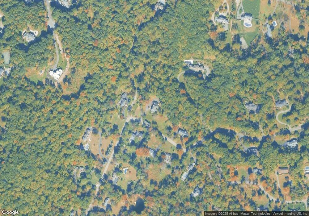
Map
Nearby Homes
- 3 Old Orchard Terrace
- 5 Queens Ct
- 4 Ascot Ln
- 52 Schoolhouse Ln
- 182 Washington Valley Rd
- 267 Washington Valley Rd
- 6 Alpine Dr
- 40 Lord William Penn Dr
- 1 Dogwood Dr
- 2 Bickford Dr
- 7 Drake Ct
- 17 E Main St
- 67 Woodland Rd
- 3 Lynn Dr
- 12 Glen Gary Dr
- 56 Woodland Rd
- 5 Albert Ct
- 284 Mendham Rd
- 26 Woodland Rd
- 34 Starlight Dr
- 27 Old Orchard Rd
- 24 Old Orchard Rd
- 21 Old Orchard Rd
- 22 Old Orchard Rd
- 20 Old Orchard Rd
- 17 Wilrich Glenn Rd
- 18 Old Orchard Rd
- 29 Old Orchard Rd
- 26 Old Orchard Rd
- 19 Old Orchard Rd
- 16 Old Orchard Rd
- 7 Queens Ct
- 13 Wilrich Glenn Rd
- 31 Old Orchard Rd
- 31 Old Orchard Rd Unit 1-A
- 5 Loree Brook Ln
- 8 Queens Ct
- 28 Old Orchard Rd
- 10 Wilrich Glenn Rd
- 16 Schoolhouse Ln