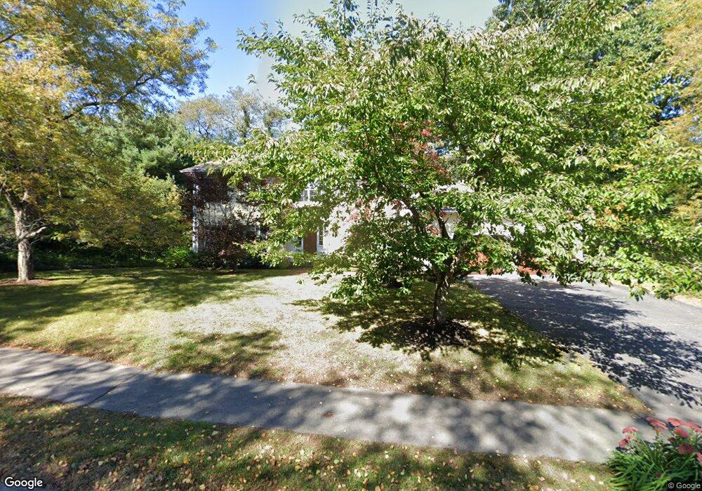
1 Lothrop Cir Lexington, MA 02420
Pheasant Brook Estates NeighborhoodEstimated Value: $1,818,000 - $3,906,000
4
Beds
3
Baths
3,162
Sq Ft
$837/Sq Ft
Est. Value
About This Home
This home is located at 1 Lothrop Cir, Lexington, MA 02420 and is currently estimated at $2,647,892, approximately $837 per square foot. 1 Lothrop Cir is a home located in Middlesex County with nearby schools including Harrington Elementary School, Jonas Clarke Middle School, and Lexington High School.
Ownership History
Date
Name
Owned For
Owner Type
Purchase Details
Closed on
Dec 3, 1996
Sold by
Awrach Murray A and Awrach Pamela M
Bought by
Francis 96 Rt
Current Estimated Value
Home Financials for this Owner
Home Financials are based on the most recent Mortgage that was taken out on this home.
Original Mortgage
$48,000
Interest Rate
8.06%
Create a Home Valuation Report for This Property
The Home Valuation Report is an in-depth analysis detailing your home's value as well as a comparison with similar homes in the area
Home Values in the Area
Average Home Value in this Area
Purchase History
| Date | Buyer | Sale Price | Title Company |
|---|---|---|---|
| Francis 96 Rt | $730,500 | -- |
Source: Public Records
Mortgage History
| Date | Status | Borrower | Loan Amount |
|---|---|---|---|
| Previous Owner | Francis 96 Rt | $48,000 | |
| Previous Owner | Francis 96 Rt | $302,000 |
Source: Public Records
Tax History Compared to Growth
Tax History
| Year | Tax Paid | Tax Assessment Tax Assessment Total Assessment is a certain percentage of the fair market value that is determined by local assessors to be the total taxable value of land and additions on the property. | Land | Improvement |
|---|---|---|---|---|
| 2025 | $25,402 | $2,077,000 | $964,000 | $1,113,000 |
| 2024 | $24,880 | $2,031,000 | $918,000 | $1,113,000 |
| 2023 | $24,440 | $1,880,000 | $835,000 | $1,045,000 |
| 2022 | $23,239 | $1,684,000 | $760,000 | $924,000 |
| 2021 | $5,667 | $1,580,000 | $754,000 | $826,000 |
| 2020 | $21,960 | $1,563,000 | $754,000 | $809,000 |
| 2019 | $9,948 | $1,492,000 | $718,000 | $774,000 |
| 2018 | $20,649 | $1,444,000 | $684,000 | $760,000 |
| 2017 | $19,938 | $1,376,000 | $652,000 | $724,000 |
| 2016 | $19,798 | $1,356,000 | $620,000 | $736,000 |
| 2015 | $18,857 | $1,269,000 | $564,000 | $705,000 |
| 2014 | $17,728 | $1,143,000 | $513,000 | $630,000 |
Source: Public Records
Map
Nearby Homes
- 3 Lothrop Cir
- 8 Joseph Comee Rd
- 2 Lothrop Cir
- 39 Solomon Pierce Rd
- 43 Solomon Pierce Rd
- 5 Lothrop Cir
- 4 Joseph Comee Rd
- 4 Joseph Comee Rd Unit 4
- 4 Lothrop Cir
- 3 Joseph Comee Rd
- 37 Solomon Pierce Rd
- 45 Solomon Pierce Rd
- 6 Lothrop Cir
- 4 Butterfield Rd
- 7 Lothrop Cir
- 40 Solomon Pierce Rd
- 42 Solomon Pierce Rd
- 35 Solomon Pierce Rd
- 47 Solomon Pierce Rd
- 1 Joseph Comee Rd