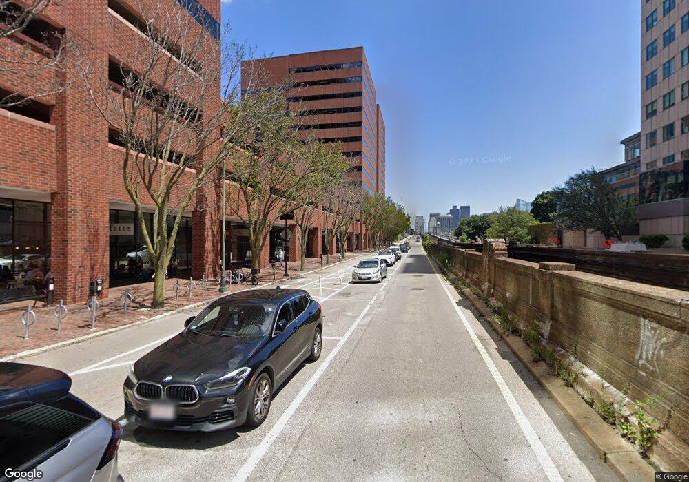
1 Main St Unit Flr 3 Cambridge, MA 02142
East Cambridge NeighborhoodEstimated Value: $359,448
--
Bed
--
Bath
4,077
Sq Ft
$88/Sq Ft
Est. Value
About This Home
This home is located at 1 Main St Unit Flr 3, Cambridge, MA 02142 and is currently estimated at $359,448, approximately $88 per square foot. 1 Main St Unit Flr 3 is a home located in Middlesex County with nearby schools including Community Charter School of Cambridge, Torit Montessori School, and Advent School.
Ownership History
Date
Name
Owned For
Owner Type
Purchase Details
Closed on
Jan 10, 2005
Sold by
Nop Riverfront Llc
Bought by
Reef America Reit Corp
Current Estimated Value
Purchase Details
Closed on
Oct 5, 2000
Sold by
Hldgs Bre and Hldgs Riverfront
Bought by
Nop Riverfront Llc
Create a Home Valuation Report for This Property
The Home Valuation Report is an in-depth analysis detailing your home's value as well as a comparison with similar homes in the area
Home Values in the Area
Average Home Value in this Area
Purchase History
| Date | Buyer | Sale Price | Title Company |
|---|---|---|---|
| Reef America Reit Corp | $175,000 | -- | |
| Reef America Reit Corp | $175,000,000 | -- | |
| Nop Riverfront Llc | $213,000,000 | -- |
Source: Public Records
Tax History Compared to Growth
Tax History
| Year | Tax Paid | Tax Assessment Tax Assessment Total Assessment is a certain percentage of the fair market value that is determined by local assessors to be the total taxable value of land and additions on the property. | Land | Improvement |
|---|---|---|---|---|
| 2025 | $3,084,380 | $0 | $0 | $0 |
| 2024 | $3,214,391 | $0 | $0 | $0 |
| 2023 | $3,137,448 | $302,259,000 | $81,500,400 | $220,758,600 |
| 2022 | $296,725 | $26,422,550 | $7,559,810 | $18,862,740 |
| 2021 | $2,737,285 | $230,994,500 | $64,036,100 | $166,958,400 |
| 2020 | $2,546,316 | $200,813,600 | $60,882,800 | $139,930,800 |
| 2019 | $2,403,209 | $175,288,800 | $52,069,700 | $123,219,100 |
| 2018 | $2,267,858 | $153,130,200 | $45,308,900 | $107,821,300 |
| 2017 | $2,189,829 | $135,845,500 | $40,187,000 | $95,658,500 |
| 2016 | $2,146,921 | $121,226,500 | $32,560,700 | $88,665,800 |
| 2015 | $2,077,356 | $107,690,800 | $29,998,100 | $77,692,700 |
| 2014 | $1,991,870 | $97,449,600 | $28,641,400 | $68,808,200 |
Source: Public Records
Map
Nearby Homes
- 75-83 Cambridge Pkwy Unit 303
- 75-83 Cambridge Pkwy Unit W702
- 75-83 Cambridge Pkwy Unit E807
- 75-83 Cambridge Pkwy Unit E 802
- 75-83
- 10 Rogers St Unit 308
- 10 Rogers St Unit 415
- 10 Rogers St Unit 231
- 10 Rogers St Unit 229
- 10 Rogers St Unit PH19
- 10 Rogers St Unit 203
- 133 Charles St Unit 133
- 131 Charles St
- 95 2nd St Unit 3
- 1 W Hill Place
- 6 W Hill Place
- 19 Charles River Square
- 145 Pinckney St Unit 603-605
- 144 Charles Street Space 2-36
- 140 Charles St Unit 2
- 76 Moon St
- 245 1st St Unit 1800
- 245 1st St
- 165 Main St
- 165 Main St
- 300 Kendall St Unit ID1221051P
- 300 Kendall St Unit ID1048694P
- 250 Kendall St Unit FL15-ID1050423P
- 250 Kendall St Unit FL6-ID1039236P
- 250 Kendall St Unit ID1221051P
- 250 Kendall St Unit FL3-ID1050425P
- 250 Kendall St Unit FL7-ID1050429P
- 250 Kendall St Unit FL5-ID1050427P
- 250 Kendall St Unit FL8-ID1050431P
- 250 Kendall St Unit FL8-ID1050433P
- 250 Kendall St Unit FL9-ID1050435P
- 250 Kendall St Unit ID1048694P
- 250 Kendall St
- 250 Kendall St Unit ID1016401P
- 250 Kendall St Unit ID1029112P