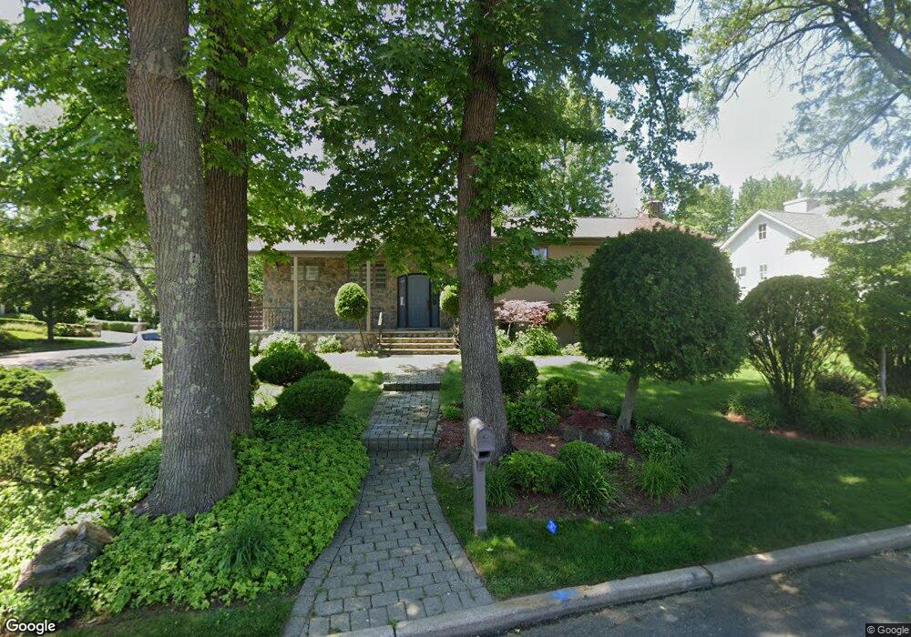
1 Maple St Englewood Cliffs, NJ 07632
Estimated Value: $1,655,158 - $2,483,000
Studio
--
Bath
3,616
Sq Ft
$572/Sq Ft
Est. Value
About This Home
This home is located at 1 Maple St, Englewood Cliffs, NJ 07632 and is currently estimated at $2,067,386, approximately $571 per square foot. 1 Maple St is a home located in Bergen County with nearby schools including North Cliff Elementary School, Upper School Elementary School, and The Moriah School.
Ownership History
Date
Name
Owned For
Owner Type
Purchase Details
Closed on
Jul 20, 2000
Bought by
Yariv Arie
Current Estimated Value
Home Financials for this Owner
Home Financials are based on the most recent Mortgage that was taken out on this home.
Original Mortgage
$252,700
Interest Rate
8.07%
Create a Home Valuation Report for This Property
The Home Valuation Report is an in-depth analysis detailing your home's value as well as a comparison with similar homes in the area
Home Values in the Area
Average Home Value in this Area
Purchase History
| Date | Buyer | Sale Price | Title Company |
|---|---|---|---|
| Yariv Arie | -- | -- | |
| Yariv Arie | -- | -- |
Source: Public Records
Mortgage History
| Date | Status | Borrower | Loan Amount |
|---|---|---|---|
| Previous Owner | Yariv Arie | $252,700 |
Source: Public Records
Tax History
| Year | Tax Paid | Tax Assessment Tax Assessment Total Assessment is a certain percentage of the fair market value that is determined by local assessors to be the total taxable value of land and additions on the property. | Land | Improvement |
|---|---|---|---|---|
| 2025 | $12,662 | $1,096,300 | $936,600 | $159,700 |
| 2024 | $12,509 | $1,096,300 | $936,600 | $159,700 |
| 2023 | $12,311 | $1,096,300 | $936,600 | $159,700 |
| 2022 | $12,311 | $1,096,300 | $936,600 | $159,700 |
| 2021 | $11,851 | $1,096,300 | $936,600 | $159,700 |
| 2020 | $12,618 | $1,096,300 | $936,600 | $159,700 |
| 2019 | $11,851 | $1,096,300 | $936,600 | $159,700 |
| 2018 | $11,434 | $1,096,300 | $936,600 | $159,700 |
| 2017 | $10,941 | $1,096,300 | $936,600 | $159,700 |
| 2016 | $10,733 | $1,096,300 | $936,600 | $159,700 |
| 2015 | $10,196 | $1,096,300 | $936,600 | $159,700 |
| 2014 | $9,538 | $1,096,300 | $936,600 | $159,700 |
Source: Public Records
Map
Nearby Homes
- 244 Fairview Ave
- 140 Demarest Ave
- 148 Demarest Ave
- 144 Demarest Ave
- 645 Summit St
- 231 N Woodland St
- 48 Cambridge Place
- 662 Summit St
- 577 Floyd St
- 394 E Palisade Ave
- 200 Lincoln St
- 48 S Woodland St
- 14 Allison Dr
- 294 Oakwood Rd
- 215 Brinckerhoff Ct
- 409 N Woodland St
- 50 Roberts Rd
- 285 Maple St
- 37 Roberts Rd
- 425 Highview Rd
- 7 Maple St
- 171 Chestnut St
- 2 Maple St
- 6 Maple St
- 172 Chestnut St
- 180 Chestnut St
- 9 Maple St
- 173 Chestnut St
- 10 Maple St
- 5 Cambridge Place
- 15 Maple St
- 14 Maple St
- 9 Cambridge Place
- 160 Chestnut St
- 188 Chestnut St
- 188 Chestnut St Unit A
- 185 Pershing Rd
- 195 Pershing Rd
- 15 Cambridge Place
- 175 Pershing Rd
Your Personal Tour Guide
Ask me questions while you tour the home.