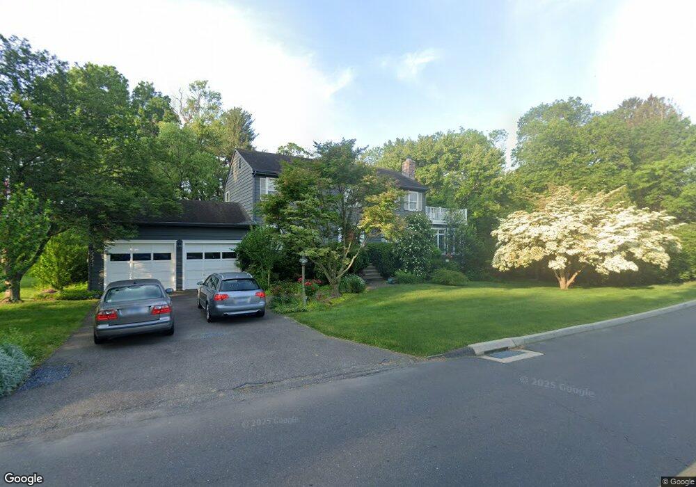
1 Maple St Milford, CT 06460
Downtown Milford NeighborhoodEstimated Value: $781,465 - $1,001,000
3
Beds
3
Baths
2,520
Sq Ft
$341/Sq Ft
Est. Value
About This Home
This home is located at 1 Maple St, Milford, CT 06460 and is currently estimated at $859,366, approximately $341 per square foot. 1 Maple St is a home located in New Haven County with nearby schools including Orange Avenue School, Harborside Middle School, and Joseph A. Foran High School.
Ownership History
Date
Name
Owned For
Owner Type
Purchase Details
Closed on
Aug 5, 1996
Sold by
Craig Lois B
Bought by
Bellocchio Lauretta
Current Estimated Value
Home Financials for this Owner
Home Financials are based on the most recent Mortgage that was taken out on this home.
Original Mortgage
$140,000
Interest Rate
7.63%
Mortgage Type
Unknown
Purchase Details
Closed on
Dec 20, 1993
Sold by
Mason Clifford K and Mason Marilyn M
Bought by
Craig Lois B
Create a Home Valuation Report for This Property
The Home Valuation Report is an in-depth analysis detailing your home's value as well as a comparison with similar homes in the area
Home Values in the Area
Average Home Value in this Area
Purchase History
| Date | Buyer | Sale Price | Title Company |
|---|---|---|---|
| Bellocchio Lauretta | $205,000 | -- | |
| Bellocchio Lauretta | $205,000 | -- | |
| Craig Lois B | $225,000 | -- | |
| Craig Lois B | $225,000 | -- |
Source: Public Records
Mortgage History
| Date | Status | Borrower | Loan Amount |
|---|---|---|---|
| Closed | Craig Lois B | $230,308 | |
| Closed | Craig Lois B | $208,000 | |
| Closed | Craig Lois B | $140,000 |
Source: Public Records
Tax History Compared to Growth
Tax History
| Year | Tax Paid | Tax Assessment Tax Assessment Total Assessment is a certain percentage of the fair market value that is determined by local assessors to be the total taxable value of land and additions on the property. | Land | Improvement |
|---|---|---|---|---|
| 2025 | $11,118 | $376,260 | $126,580 | $249,680 |
| 2024 | $10,964 | $376,260 | $126,580 | $249,680 |
| 2023 | $10,223 | $376,260 | $126,580 | $249,680 |
| 2022 | $10,027 | $376,260 | $126,580 | $249,680 |
| 2021 | $9,316 | $336,920 | $112,900 | $224,020 |
| 2020 | $9,326 | $336,920 | $112,900 | $224,020 |
| 2019 | $9,336 | $336,920 | $112,900 | $224,020 |
| 2018 | $9,346 | $336,920 | $112,900 | $224,020 |
| 2017 | $9,363 | $336,920 | $112,900 | $224,020 |
| 2016 | $9,554 | $343,180 | $105,840 | $237,340 |
| 2015 | $9,568 | $343,180 | $105,840 | $237,340 |
| 2014 | $9,341 | $343,180 | $105,840 | $237,340 |
Source: Public Records
Map
Nearby Homes
- 97 North St
- 271 W River St
- 36 Shipyard Ln Unit C
- 156 Meadow St
- 190 W Main St
- 6 Vernon Ct
- 20 Aspen Cir
- 45 Forest Rd Unit A
- 16 Elton St
- 27 Peck St
- 299 W Main St
- 150 Forest Rd Unit 6
- 19 Knollwood Rd
- 36 Oronoque Rd
- 169 Clark St Unit B
- 342 New Haven Ave
- 492 North St
- 0 North St
- 91 Shelter Cove Rd
- 50 Washington St
- 60 North St
- 44 North St
- 61 North St
- 73 North St
- 125 W River St
- 47 North St Unit 2nd Floor Rear
- 47 North St Unit 1st Floor Rear
- 41 North St
- 130 W River St Unit First Floor
- 130 W River St Unit Second Floor
- 87 North St
- 144 W River St
- 33 North St
- 9 Governors Ave
- 152 W River St
- 160 W River St
- 10 Plymouth Ct
- 11 Plymouth Place
- 3 Maple St
- 18 Plymouth Ct