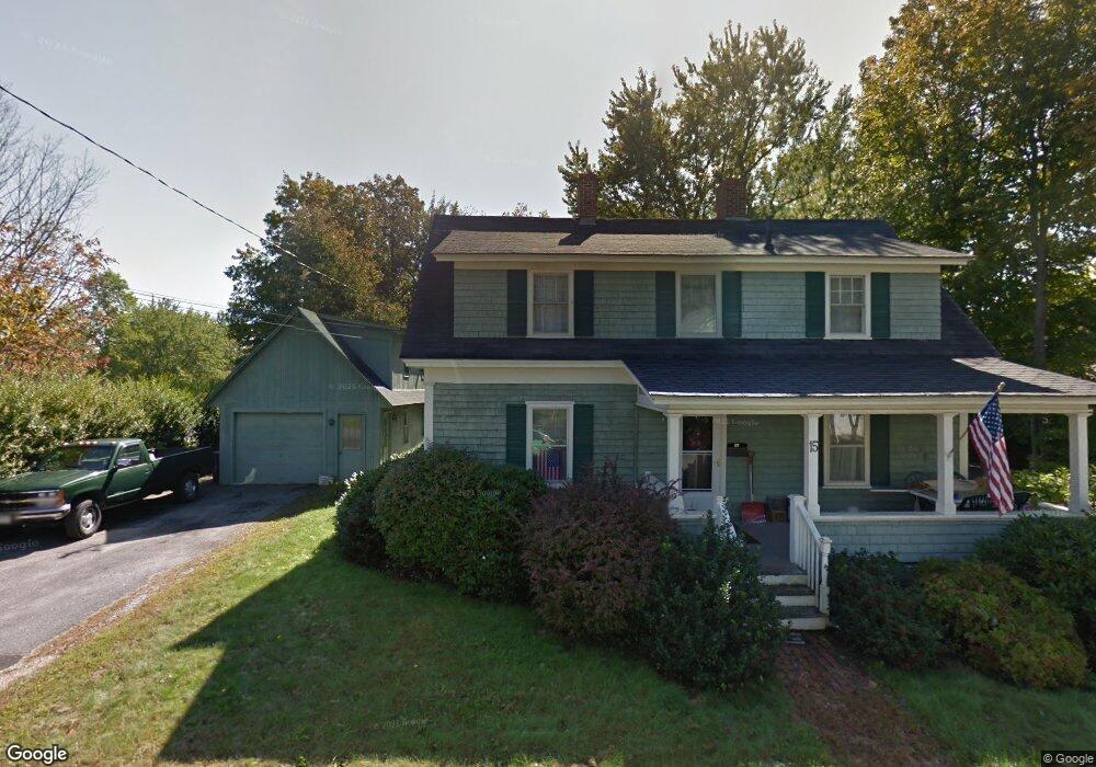
1 Marjorie Way Eliot, ME 03903
South Eliot NeighborhoodEstimated Value: $581,650 - $656,000
3
Beds
2
Baths
1,675
Sq Ft
$366/Sq Ft
Est. Value
About This Home
This home is located at 1 Marjorie Way, Eliot, ME 03903 and is currently estimated at $612,663, approximately $365 per square foot. 1 Marjorie Way is a home located in York County with nearby schools including Marshwood High School.
Create a Home Valuation Report for This Property
The Home Valuation Report is an in-depth analysis detailing your home's value as well as a comparison with similar homes in the area
Home Values in the Area
Average Home Value in this Area
Tax History Compared to Growth
Tax History
| Year | Tax Paid | Tax Assessment Tax Assessment Total Assessment is a certain percentage of the fair market value that is determined by local assessors to be the total taxable value of land and additions on the property. | Land | Improvement |
|---|---|---|---|---|
| 2024 | $4,216 | $355,800 | $124,900 | $230,900 |
| 2023 | $4,061 | $331,500 | $109,600 | $221,900 |
| 2022 | $3,896 | $322,000 | $109,600 | $212,400 |
| 2021 | $4,278 | $316,900 | $109,600 | $207,300 |
| 2020 | $4,281 | $291,200 | $104,900 | $186,300 |
| 2019 | $4,281 | $291,200 | $104,900 | $186,300 |
| 2018 | $4,281 | $291,200 | $104,900 | $186,300 |
| 2017 | $4,164 | $291,200 | $104,900 | $186,300 |
| 2016 | $4,091 | $291,200 | $104,900 | $186,300 |
| 2015 | $4,077 | $291,200 | $104,900 | $186,300 |
| 2014 | $4,019 | $291,200 | $104,900 | $186,300 |
| 2013 | $3,835 | $291,200 | $104,900 | $186,300 |
Source: Public Records
Map
Nearby Homes
- 15 Shipping Ln
- 10 Shipping Ln
- 493 Main St
- 1092 State Rd
- 35 Leach Rd
- 14 Grover Ave
- 32 Grover Ave
- 0 Franks Fort Island Unit 1631886
- 638 Kearsarge Way
- 19 Shearwater Dr Unit 1903
- 15 Shearwater Dr Unit 1902
- 37 Shearwater Dr Unit 1906
- 3 Shearwater Dr Unit 1900
- 51 Granite St
- 1338 Woodbury Ave Unit 10
- 201 Kearsarge Way
- 14 Birch St
- 7 Fernald Rd
- 171 Echo Ave
- 67 Hillcrest Dr