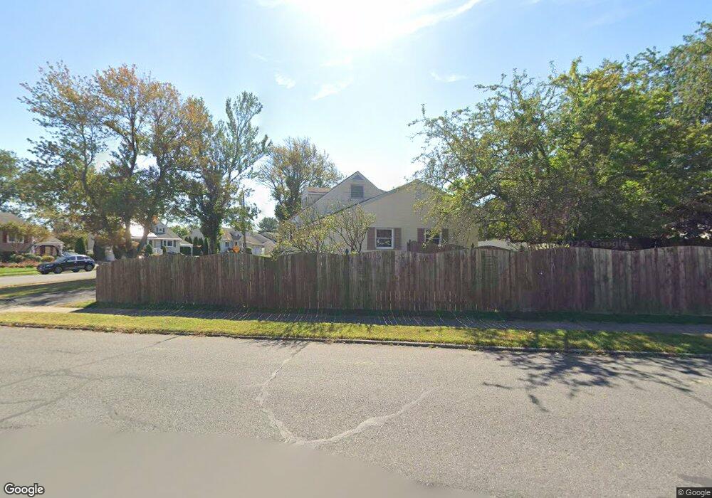
1 Markham Rd Somerset, NJ 08873
Estimated Value: $542,000 - $598,000
--
Bed
--
Bath
1,458
Sq Ft
$384/Sq Ft
Est. Value
About This Home
This home is located at 1 Markham Rd, Somerset, NJ 08873 and is currently estimated at $559,722, approximately $383 per square foot. 1 Markham Rd is a home located in Somerset County with nearby schools including Franklin High School, St. Frances Cabrini School, and Green Brook Academy.
Ownership History
Date
Name
Owned For
Owner Type
Purchase Details
Closed on
Feb 13, 2015
Sold by
Riga Matthew V
Bought by
Riga Matthew and Riga Wendy
Current Estimated Value
Home Financials for this Owner
Home Financials are based on the most recent Mortgage that was taken out on this home.
Original Mortgage
$200,995
Outstanding Balance
$153,377
Interest Rate
3.66%
Mortgage Type
New Conventional
Estimated Equity
$406,345
Purchase Details
Closed on
Oct 26, 2004
Sold by
Dunn Stephen R
Bought by
Riga Matthew
Purchase Details
Closed on
Jun 9, 1999
Sold by
Allen Richard
Bought by
Dunn Stephen
Home Financials for this Owner
Home Financials are based on the most recent Mortgage that was taken out on this home.
Original Mortgage
$158,900
Interest Rate
6.99%
Purchase Details
Closed on
Nov 15, 1988
Sold by
Allen Jr Allen Jr R and Allen A
Bought by
Allen Richard L and Allen Alexandra
Create a Home Valuation Report for This Property
The Home Valuation Report is an in-depth analysis detailing your home's value as well as a comparison with similar homes in the area
Home Values in the Area
Average Home Value in this Area
Purchase History
| Date | Buyer | Sale Price | Title Company |
|---|---|---|---|
| Riga Matthew | -- | Attorney | |
| Riga Matthew | $300,000 | -- | |
| Dunn Stephen | $167,250 | -- | |
| Allen Richard L | $100 | -- |
Source: Public Records
Mortgage History
| Date | Status | Borrower | Loan Amount |
|---|---|---|---|
| Open | Riga Matthew | $200,995 | |
| Previous Owner | Dunn Stephen | $158,900 |
Source: Public Records
Tax History Compared to Growth
Tax History
| Year | Tax Paid | Tax Assessment Tax Assessment Total Assessment is a certain percentage of the fair market value that is determined by local assessors to be the total taxable value of land and additions on the property. | Land | Improvement |
|---|---|---|---|---|
| 2025 | $8,050 | $479,600 | $322,600 | $157,000 |
| 2024 | $8,050 | $442,800 | $322,600 | $120,200 |
| 2023 | $7,946 | $411,500 | $291,300 | $120,200 |
| 2022 | $7,571 | $371,500 | $251,300 | $120,200 |
| 2021 | $6,789 | $306,500 | $186,300 | $120,200 |
| 2020 | $6,939 | $306,500 | $186,300 | $120,200 |
| 2019 | $6,710 | $291,500 | $171,300 | $120,200 |
| 2018 | $6,431 | $276,500 | $156,300 | $120,200 |
| 2017 | $5,987 | $256,500 | $136,300 | $120,200 |
| 2016 | $5,772 | $245,500 | $125,300 | $120,200 |
| 2015 | $5,616 | $240,500 | $120,300 | $120,200 |
| 2014 | $5,421 | $235,500 | $115,300 | $120,200 |
Source: Public Records
Map
Nearby Homes
- 285 Maple Ave
- 71 Remsen St
- 535 Madison Ave
- 3 Edgewood Terrace
- 8 Von Steuben Ln
- 231 Beck Ave
- 123 Elizabeth St
- 206 Bathgate Ave
- 165 Prospect St
- 10 Maplehurst Ln
- 20 Patriots Path
- 15 Maplehurst Ln
- 208 Sanders Ave
- 68 Owen Ct
- 63 Crestwood St
- 212 Sherwood Ct
- 2 Drake St
- 1102 Conrad Way
- 2109 Conrad Way Unit 2109
- 112 East St