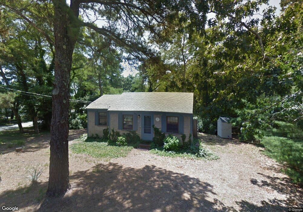
1 Mayflower Ln Dennis Port, MA 02639
Dennis Port NeighborhoodEstimated Value: $339,000 - $462,000
2
Beds
1
Bath
524
Sq Ft
$793/Sq Ft
Est. Value
About This Home
This home is located at 1 Mayflower Ln, Dennis Port, MA 02639 and is currently estimated at $415,612, approximately $793 per square foot. 1 Mayflower Ln is a home located in Barnstable County with nearby schools including Dennis-Yarmouth Regional High School and St. Pius X. School.
Ownership History
Date
Name
Owned For
Owner Type
Purchase Details
Closed on
Mar 18, 2019
Sold by
Mcgehearty Stephanie J
Bought by
Mcgeherty Ft
Current Estimated Value
Purchase Details
Closed on
Nov 28, 2014
Sold by
Urban Bette J
Bought by
Mcgehearty Stephanie
Purchase Details
Closed on
Jul 3, 2008
Sold by
Urban Bette J
Bought by
Urban Bette J
Create a Home Valuation Report for This Property
The Home Valuation Report is an in-depth analysis detailing your home's value as well as a comparison with similar homes in the area
Home Values in the Area
Average Home Value in this Area
Purchase History
| Date | Buyer | Sale Price | Title Company |
|---|---|---|---|
| Mcgeherty Ft | -- | -- | |
| Mcgehearty Stephanie | -- | -- | |
| Urban Bette J | -- | -- |
Source: Public Records
Tax History Compared to Growth
Tax History
| Year | Tax Paid | Tax Assessment Tax Assessment Total Assessment is a certain percentage of the fair market value that is determined by local assessors to be the total taxable value of land and additions on the property. | Land | Improvement |
|---|---|---|---|---|
| 2025 | $1,489 | $343,800 | $193,500 | $150,300 |
| 2024 | $1,344 | $306,200 | $186,100 | $120,100 |
| 2023 | $1,249 | $267,400 | $169,200 | $98,200 |
| 2022 | $1,228 | $219,200 | $152,400 | $66,800 |
| 2021 | $1,339 | $222,000 | $170,800 | $51,200 |
| 2020 | $1,139 | $186,800 | $149,400 | $37,400 |
| 2019 | $1,162 | $188,300 | $146,500 | $41,800 |
| 2018 | $1,205 | $190,100 | $139,500 | $50,600 |
| 2017 | $1,120 | $182,100 | $129,500 | $52,600 |
| 2016 | $1,203 | $184,300 | $139,500 | $44,800 |
| 2015 | $1,180 | $184,300 | $139,500 | $44,800 |
| 2014 | $977 | $153,800 | $119,500 | $34,300 |
Source: Public Records
Map
Nearby Homes
- 37 Ocean Dr Unit 2
- 80 Michaels Ave
- 64 Beaten Rd
- 112 Old Wharf Rd Unit E4
- 112 Old Wharf Rd Unit E1
- 61 Trotters Ln
- 120 Old Wharf Rd Unit 11
- 6 Baker Way
- 154 Old Wharf Rd Unit 26
- 154 Old Wharf Rd Unit 14
- 31 Easy St
- 19 Standish Way
- 15 Woodside Park Rd
- 12 Spoonbill Rd
- 217 Old Wharf Rd Unit 64
- 22 Wixon Rd
- 71 Main St
- 4 Coffey Ln
- 241 Old Wharf Rd Unit 82
- 241 Old Wharf Rd Unit 127
- 7 Mayflower Ln
- 25 Northern Ave
- 6 Mayflower Ln
- 36 Greeneedle Ln
- 8 Mayflower Ln
- 9 Honeysuckle Ln
- 18 Northern Ave
- 16 Northern Ave
- 13 Mayflower Ln
- 6 Honeysuckle Ln
- 34 Greeneedle Ln
- 10 Honeysuckle Ln
- 13 Honeysuckle Ln
- 19 Greeneedle Ln
- 14 Mayflower Ln
- 31 Northern Ave
- 31 Northern Ave Unit 1& 2
- 3 Myrtle Ln
- 12 Northern Ave
- 7 Myrtle Ln