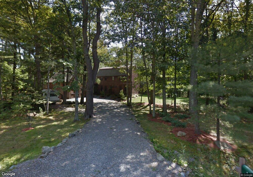
1 Michael Dr York, ME 03909
York NeighborhoodEstimated Value: $619,000 - $707,000
3
Beds
3
Baths
1,872
Sq Ft
$362/Sq Ft
Est. Value
About This Home
This home is located at 1 Michael Dr, York, ME 03909 and is currently estimated at $677,065, approximately $361 per square foot. 1 Michael Dr is a home located in York County with nearby schools including Village Elementary School, Coastal Ridge Elementary School, and York Middle School.
Ownership History
Date
Name
Owned For
Owner Type
Purchase Details
Closed on
Jan 21, 2011
Sold by
Foster Laurie E and Hirst John M
Bought by
Hirst John M and Hirst Laurie E
Current Estimated Value
Home Financials for this Owner
Home Financials are based on the most recent Mortgage that was taken out on this home.
Original Mortgage
$219,000
Interest Rate
4.62%
Mortgage Type
Purchase Money Mortgage
Create a Home Valuation Report for This Property
The Home Valuation Report is an in-depth analysis detailing your home's value as well as a comparison with similar homes in the area
Home Values in the Area
Average Home Value in this Area
Purchase History
| Date | Buyer | Sale Price | Title Company |
|---|---|---|---|
| Hirst John M | -- | -- |
Source: Public Records
Mortgage History
| Date | Status | Borrower | Loan Amount |
|---|---|---|---|
| Closed | Hirst John M | $219,000 |
Source: Public Records
Tax History
| Year | Tax Paid | Tax Assessment Tax Assessment Total Assessment is a certain percentage of the fair market value that is determined by local assessors to be the total taxable value of land and additions on the property. | Land | Improvement |
|---|---|---|---|---|
| 2024 | $4,564 | $543,300 | $189,700 | $353,600 |
| 2023 | $4,241 | $501,900 | $148,300 | $353,600 |
| 2022 | $4,291 | $501,900 | $148,300 | $353,600 |
| 2021 | $4,146 | $416,700 | $120,700 | $296,000 |
| 2020 | $4,346 | $391,500 | $155,200 | $236,300 |
| 2019 | $4,341 | $389,300 | $155,200 | $234,100 |
| 2018 | $4,226 | $379,000 | $144,900 | $234,100 |
| 2017 | $4,060 | $370,800 | $139,700 | $231,100 |
| 2016 | $4,076 | $365,600 | $134,500 | $231,100 |
| 2015 | $3,922 | $356,500 | $134,500 | $222,000 |
| 2014 | $3,815 | $356,500 | $134,500 | $222,000 |
| 2013 | $3,718 | $356,500 | $134,500 | $222,000 |
Source: Public Records
Map
Nearby Homes
- 52 Hooper Shores Rd
- 4 Fall Mill Rd
- 2 Woods Run
- 744 U S 1 Unit 12
- 801 Us Rt 1 Yorke Woods Unit K-3
- 801 US Route 1 Unit B3
- 801 US Route 1 Unit D2
- 7 Winterbrook Dr
- 16 Orchard Farm Rd
- 2 Lils Aly
- 32 Bluestone Ln
- 8 Ash Ln
- 1 River Farm Rd
- 1 Field Ave
- 190 York St
- 21 Fernald Ave Unit C
- 5 Mckenna Ln
- 12 Cardinal Ln
- 281 York St
- 294 York St Unit 1
Your Personal Tour Guide
Ask me questions while you tour the home.