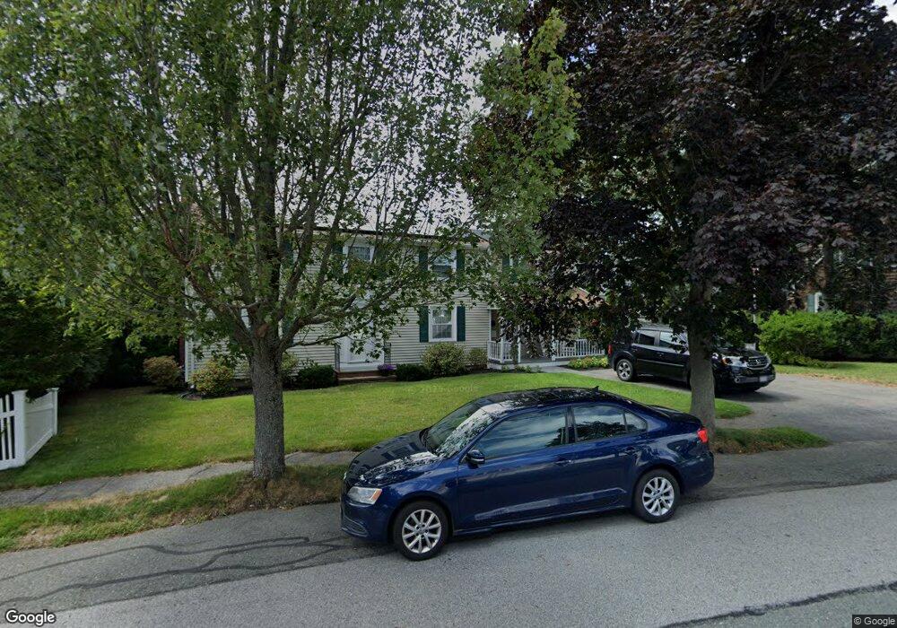
1 Michael Rd Beverly, MA 01915
North Beverly NeighborhoodEstimated Value: $934,000 - $1,003,000
About This Home
This home is located at 1 Michael Rd, Beverly, MA 01915 and is currently estimated at $968,021, approximately $398 per square foot. 1 Michael Rd is a home located in Essex County with nearby schools including Beverly High School, North Shore Christian School, and Waldorf School at Moraine Farm.
Ownership History
We collect this data history from publicly available records. To have your information removed, we recommend requesting removal directly through your county’s website.
Purchase Details
Home Values in the Area
Average Home Value in this Area
Purchase History
We collect this data history from publicly available records. To have your information removed, we recommend requesting removal directly through your county’s website.
| Date | Buyer | Sale Price | Title Company |
|---|---|---|---|
| $220,000 | -- |
Mortgage History
We collect this data history from publicly available records. To have your information removed, we recommend requesting removal directly through your county’s website.
| Date | Status | Borrower | Loan Amount |
|---|---|---|---|
| Open | $25,000 | ||
| Open | $399,000 |
Tax History
We collect this data history from publicly available records. To have your information removed, we recommend requesting removal directly through your county’s website.
| Year | Tax Paid | Tax Assessment Tax Assessment Total Assessment is a certain percentage of the fair market value that is determined by local assessors to be the total taxable value of land and additions on the property. | Land | Improvement |
|---|---|---|---|---|
| 2025 | $8,424 | $766,500 | $409,700 | $356,800 |
| 2024 | $8,223 | $732,200 | $375,400 | $356,800 |
| 2023 | $7,794 | $692,200 | $335,400 | $356,800 |
| 2022 | $7,937 | $652,200 | $295,400 | $356,800 |
| 2021 | $7,179 | $565,300 | $253,400 | $311,900 |
| 2020 | $6,960 | $542,500 | $230,600 | $311,900 |
| 2019 | $6,845 | $518,200 | $219,100 | $299,100 |
| 2018 | $6,543 | $481,100 | $205,800 | $275,300 |
| 2017 | $6,346 | $444,400 | $167,700 | $276,700 |
| 2016 | $6,175 | $429,100 | $152,400 | $276,700 |
| 2015 | $6,055 | $429,100 | $152,400 | $276,700 |
Map
- 151 Dodge St
- 201 Dodge St
- 207 Dodge St
- 25 King Terrace
- 12 Longwood Ave
- 82 Dodge St Unit 1
- 38 Dunham Rd Unit 204
- 8 Pine Hill Rd Unit 8
- 29 Conant St
- 30 Conant St Unit 1B
- 718 Cabot St
- 57 Beaver Pond Rd
- 567 Cabot St
- 5 Palmer Rd
- 7 Clifton Ave
- 11 Clifton Ave
- 526 Cabot St
- 10 Yankee Way
- 501 Cabot St Unit 2
- 11 Thaxton Rd
Ask me questions while you tour the home.