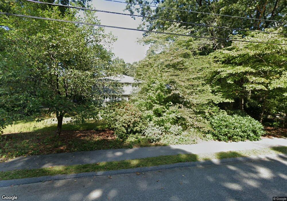
1 Michael Terrace Natick, MA 01760
Estimated Value: $1,121,095 - $1,370,000
4
Beds
4
Baths
2,196
Sq Ft
$566/Sq Ft
Est. Value
About This Home
This home is located at 1 Michael Terrace, Natick, MA 01760 and is currently estimated at $1,242,024, approximately $565 per square foot. 1 Michael Terrace is a home located in Middlesex County with nearby schools including Natick High School, Memorial Elementary School, and J F Kennedy Middle School.
Ownership History
Date
Name
Owned For
Owner Type
Purchase Details
Closed on
Aug 16, 1995
Bought by
Scharff Christopher and Deavignon Fay
Current Estimated Value
Home Financials for this Owner
Home Financials are based on the most recent Mortgage that was taken out on this home.
Original Mortgage
$235,900
Interest Rate
7.61%
Mortgage Type
Purchase Money Mortgage
Purchase Details
Closed on
Mar 29, 1993
Sold by
Jones James B
Create a Home Valuation Report for This Property
The Home Valuation Report is an in-depth analysis detailing your home's value as well as a comparison with similar homes in the area
Home Values in the Area
Average Home Value in this Area
Purchase History
| Date | Buyer | Sale Price | Title Company |
|---|---|---|---|
| Scharff Christopher | $337,000 | -- | |
| -- | $242,000 | -- |
Source: Public Records
Mortgage History
| Date | Status | Borrower | Loan Amount |
|---|---|---|---|
| Open | -- | $281,000 | |
| Closed | -- | $290,000 | |
| Closed | -- | $235,900 |
Source: Public Records
Tax History Compared to Growth
Tax History
| Year | Tax Paid | Tax Assessment Tax Assessment Total Assessment is a certain percentage of the fair market value that is determined by local assessors to be the total taxable value of land and additions on the property. | Land | Improvement |
|---|---|---|---|---|
| 2025 | $10,704 | $895,000 | $522,100 | $372,900 |
| 2024 | $10,409 | $849,000 | $493,200 | $355,800 |
| 2023 | $10,117 | $800,400 | $457,700 | $342,700 |
| 2022 | $9,761 | $731,700 | $411,800 | $319,900 |
| 2021 | $9,334 | $685,800 | $389,200 | $296,600 |
| 2020 | $9,104 | $668,900 | $372,300 | $296,600 |
| 2019 | $4,838 | $668,900 | $372,300 | $296,600 |
| 2018 | $8,041 | $616,200 | $355,400 | $260,800 |
| 2017 | $8,769 | $600,500 | $344,400 | $256,100 |
| 2016 | $8,115 | $598,000 | $344,400 | $253,600 |
| 2015 | $7,978 | $577,300 | $344,400 | $232,900 |
Source: Public Records
Map
Nearby Homes
- 48 Graystone Ln
- 16 Wayside Rd
- 5 Deer Path
- 15 Hunters Ln
- 18 Harvest Moon Dr
- 21 Harvest Moon Dr
- 6 Ambler Ct
- 216-218 S Main St
- 68 Everett St
- 20 Walcott St
- 15 Wyndemere Ln
- 94 Woodland St
- 8 Floral Ave Unit 8
- 25 Forest Ave
- 16 West St
- 8 Floral Avenue Extension
- 40 Morse St
- 8 Pitts St
- 39 Davis Brook Dr
- 16 Davis Brook Dr
- 4 Ledge Ln
- 3 Michael Terrace
- 1 Blue Stone Path
- 2 Michael Terrace
- 8 Countryside Rd
- 4 Michael Terrace
- 3 Blue Stone Path
- 10 Countryside Rd
- 3 Ledge Ln
- 6 Countryside Rd
- 5 Blue Stone Path
- 6 Michael Terrace
- 1 Ledge Ln
- 2 Blue Stone Path
- 5 Michael Terrace
- 4 Countryside Rd
- 6 Blue Stone Path
- 8 Michael Terrace
- 5 Countryside Rd
- 1 Cobblestone Dr