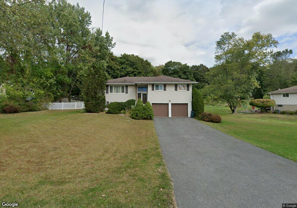
1 Minkel Rd Ossining, NY 10562
North Ossining NeighborhoodEstimated Value: $616,000 - $720,000
3
Beds
2
Baths
1,312
Sq Ft
$512/Sq Ft
Est. Value
About This Home
This home is located at 1 Minkel Rd, Ossining, NY 10562 and is currently estimated at $671,669, approximately $511 per square foot. 1 Minkel Rd is a home located in Westchester County with nearby schools including Park School, Brookside Elementary School, and Roosevelt Elementary School.
Ownership History
Date
Name
Owned For
Owner Type
Purchase Details
Closed on
Jul 25, 2023
Sold by
Gottesman Marjorie
Bought by
Marjorie Gottesman Revocable Trust and Gottesman
Current Estimated Value
Create a Home Valuation Report for This Property
The Home Valuation Report is an in-depth analysis detailing your home's value as well as a comparison with similar homes in the area
Home Values in the Area
Average Home Value in this Area
Purchase History
| Date | Buyer | Sale Price | Title Company |
|---|---|---|---|
| Marjorie Gottesman Revocable Trust | -- | None Listed On Document |
Source: Public Records
Tax History Compared to Growth
Tax History
| Year | Tax Paid | Tax Assessment Tax Assessment Total Assessment is a certain percentage of the fair market value that is determined by local assessors to be the total taxable value of land and additions on the property. | Land | Improvement |
|---|---|---|---|---|
| 2024 | -- | $519,300 | $186,800 | $332,500 |
| 2023 | $13,222 | $481,800 | $186,800 | $295,000 |
| 2022 | $12,790 | $438,400 | $186,800 | $251,600 |
| 2021 | $12,863 | $394,900 | $186,800 | $208,100 |
| 2020 | $13,306 | $394,900 | $186,800 | $208,100 |
| 2019 | $13,110 | $396,100 | $207,500 | $188,600 |
| 2018 | $13,051 | $396,100 | $207,500 | $188,600 |
| 2017 | $7,827 | $392,300 | $207,500 | $184,800 |
| 2016 | $141,987 | $384,600 | $207,500 | $177,100 |
| 2015 | $10,276 | $20,155 | $6,300 | $13,855 |
| 2014 | $10,276 | $20,155 | $6,300 | $13,855 |
| 2013 | $10,276 | $20,155 | $6,300 | $13,855 |
Source: Public Records
Map
Nearby Homes
- 7 Bracken Rd
- 200 Route 9a
- 40 Minkel Rd
- 135 - 6 Highland Ave S Unit D1
- 283 Horse Shoe Cir
- 113 Antler Ridge Unit 113
- 126 Whitetail Cir
- 7 Grandview Ave
- 24 Oakbrook Rd
- 14 Gates Ave
- 13 Reeback Dr
- 33 Ryder Rd
- 47 Stormytown Rd
- 11 Knollwood Dr
- 7 Hawkes Ave
- 81 Glendale Rd
- 42 Campwoods Grounds
- 10 Nicole Cir Unit 12
- 83 Somerstown Rd
- 14 Steven Dr