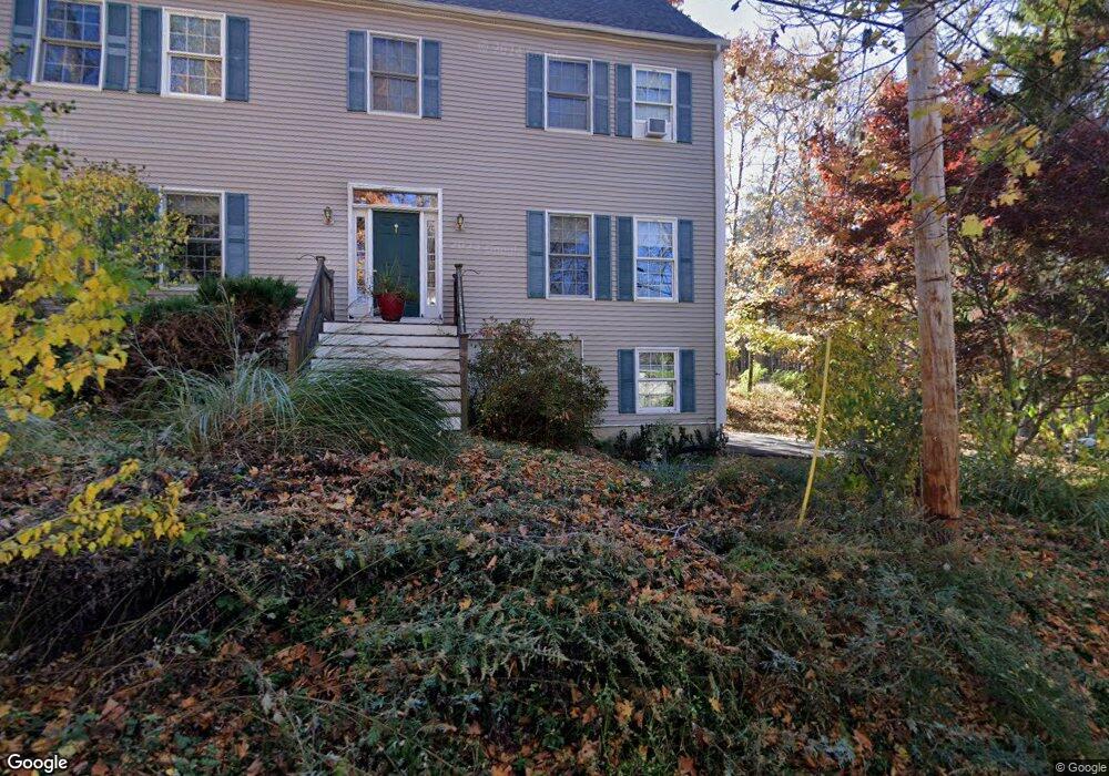
1 Mockingbird Hill Rd Amesbury, MA 01913
Estimated Value: $834,043 - $907,000
3
Beds
3
Baths
2,464
Sq Ft
$350/Sq Ft
Est. Value
About This Home
This home is located at 1 Mockingbird Hill Rd, Amesbury, MA 01913 and is currently estimated at $863,261, approximately $350 per square foot. 1 Mockingbird Hill Rd is a home located in Essex County with nearby schools including Amesbury High School and Amesbury Seventh-Day Adventist School.
Ownership History
Date
Name
Owned For
Owner Type
Purchase Details
Closed on
Mar 28, 2003
Sold by
Dow Gail F
Bought by
Naughton James C
Current Estimated Value
Home Financials for this Owner
Home Financials are based on the most recent Mortgage that was taken out on this home.
Original Mortgage
$350,000
Outstanding Balance
$152,123
Interest Rate
5.91%
Estimated Equity
$711,138
Create a Home Valuation Report for This Property
The Home Valuation Report is an in-depth analysis detailing your home's value as well as a comparison with similar homes in the area
Home Values in the Area
Average Home Value in this Area
Purchase History
| Date | Buyer | Sale Price | Title Company |
|---|---|---|---|
| Naughton James C | $130,000 | -- |
Source: Public Records
Mortgage History
| Date | Status | Borrower | Loan Amount |
|---|---|---|---|
| Open | Naughton James C | $60,000 | |
| Open | Naughton James C | $350,000 |
Source: Public Records
Tax History Compared to Growth
Tax History
| Year | Tax Paid | Tax Assessment Tax Assessment Total Assessment is a certain percentage of the fair market value that is determined by local assessors to be the total taxable value of land and additions on the property. | Land | Improvement |
|---|---|---|---|---|
| 2025 | $11,091 | $724,900 | $245,900 | $479,000 |
| 2024 | $10,576 | $676,200 | $232,000 | $444,200 |
| 2023 | $9,905 | $606,200 | $201,700 | $404,500 |
| 2022 | $9,494 | $536,700 | $175,400 | $361,300 |
| 2021 | $8,974 | $491,700 | $135,300 | $356,400 |
| 2020 | $7,887 | $459,100 | $130,100 | $329,000 |
| 2019 | $7,980 | $434,400 | $130,100 | $304,300 |
| 2018 | $7,841 | $412,900 | $123,800 | $289,100 |
| 2017 | $8,032 | $402,600 | $123,800 | $278,800 |
| 2016 | $7,804 | $384,800 | $123,800 | $261,000 |
| 2015 | $7,641 | $372,000 | $123,800 | $248,200 |
| 2014 | $7,425 | $354,100 | $123,800 | $230,300 |
Source: Public Records
Map
Nearby Homes
- 4 Acadia Kimball Rd
- 1 Acadia Kimball Rd Unit 1
- 1 Tuxbury Ln
- 3 Greystone Rd
- 20 Hillside Ct
- 1 Bisson Ln
- 152 Kimball Rd
- 160 Haverhill Rd
- 10 Sharon Cir
- 188 Lions Mouth Rd
- 5 Moncrief St Unit 5
- 3 B St
- 6 B St
- 20 Mason Ct
- 10 Mason Ct Unit 10
- 34 Emery St
- 61 E Main St
- 16 Glen Devin St
- 31 Whitter Meadows Dr Unit 31
- 21-23 E Main St
- 103 Lake Attitash Rd
- 6 Mockingbird Hill Rd
- 91 Kimball Rd
- 10 Mockingbird Hill Rd
- 93 Kimball Rd
- 1 Lake Attitash Way
- 9 Mockingbird Hill Rd
- 12 Mockingbird Hill Rd
- 95 Lake Attitash Rd
- 11 Beech Ln
- 11 Beech Ln Unit 11
- 5 Lake Attitash Way
- 2 Lake Attitash Way
- 9 Beech Ln
- 9 Lake Attitash Way
- 7 Beech Ln
- 291 Lions Mouth Rd
- 7 Lake Attitash Way
- 87 Lake Attitash Rd
- 6 Lake Attitash Way