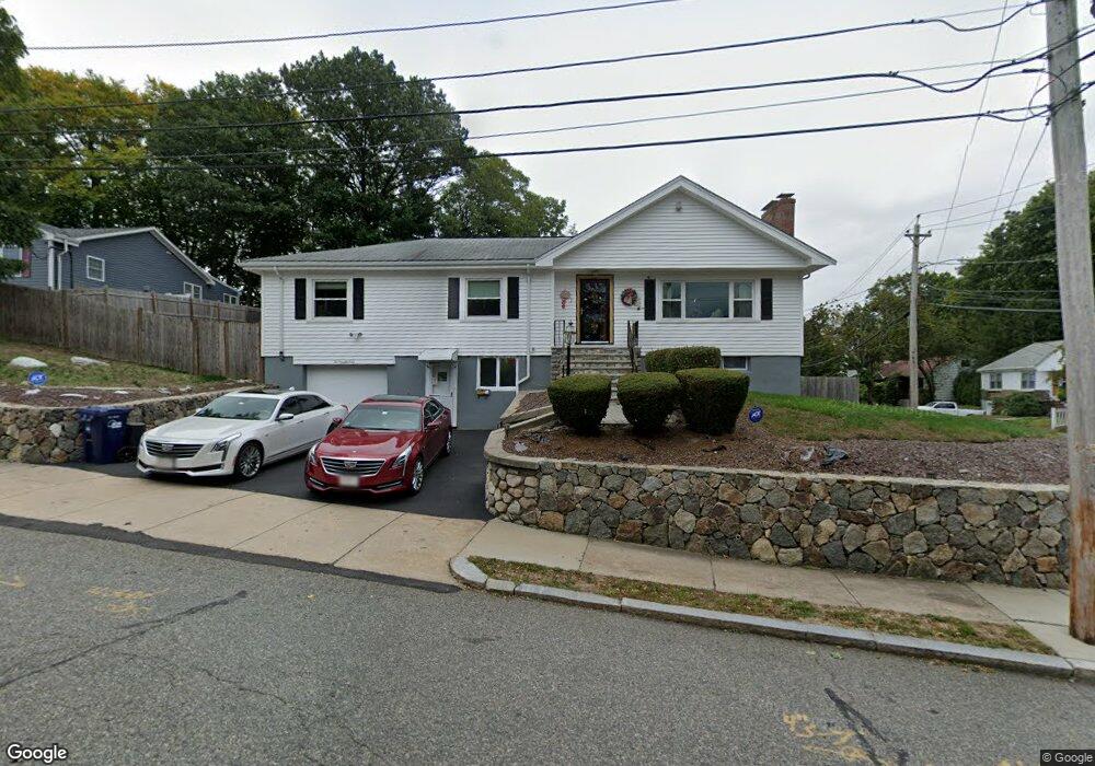
1 Mossdale Rd Jamaica Plain, MA 02130
Jamaica Plain NeighborhoodEstimated Value: $1,256,000 - $1,317,236
3
Beds
2
Baths
1,762
Sq Ft
$728/Sq Ft
Est. Value
About This Home
This home is located at 1 Mossdale Rd, Jamaica Plain, MA 02130 and is currently estimated at $1,282,809, approximately $728 per square foot. 1 Mossdale Rd is a home located in Suffolk County with nearby schools including Dexter School and The Park School.
Ownership History
Date
Name
Owned For
Owner Type
Purchase Details
Closed on
Oct 4, 2025
Sold by
Pamela T Assad T T and Pamela Assad
Bought by
Assad Alexis A
Current Estimated Value
Purchase Details
Closed on
Dec 12, 2016
Sold by
Assad Pamela T
Bought by
Pamela T Assad T 1998 and Assad
Purchase Details
Closed on
Sep 4, 2012
Sold by
1 Mossdale Road Rt and Assad
Bought by
Assad Stephen and Assad Pamela
Home Financials for this Owner
Home Financials are based on the most recent Mortgage that was taken out on this home.
Original Mortgage
$215,000
Interest Rate
3.56%
Mortgage Type
New Conventional
Purchase Details
Closed on
Dec 7, 1992
Sold by
Kelleher John G
Bought by
Assad Stephen C and Assad Pamela T
Create a Home Valuation Report for This Property
The Home Valuation Report is an in-depth analysis detailing your home's value as well as a comparison with similar homes in the area
Home Values in the Area
Average Home Value in this Area
Purchase History
| Date | Buyer | Sale Price | Title Company |
|---|---|---|---|
| Assad Alexis A | -- | -- | |
| Pamela T Assad T 1998 | -- | -- | |
| Assad Stephen | -- | -- | |
| Assad Stephen | -- | -- | |
| Assad Stephen C | $244,500 | -- |
Source: Public Records
Mortgage History
| Date | Status | Borrower | Loan Amount |
|---|---|---|---|
| Previous Owner | Assad Stephen | $215,000 | |
| Previous Owner | Assad Stephen C | $230,000 | |
| Previous Owner | Assad Stephen C | $38,755 | |
| Previous Owner | Assad Stephen C | $107,000 |
Source: Public Records
Tax History Compared to Growth
Tax History
| Year | Tax Paid | Tax Assessment Tax Assessment Total Assessment is a certain percentage of the fair market value that is determined by local assessors to be the total taxable value of land and additions on the property. | Land | Improvement |
|---|---|---|---|---|
| 2025 | $13,676 | $1,181,000 | $434,000 | $747,000 |
| 2024 | $12,843 | $1,178,300 | $451,600 | $726,700 |
| 2023 | $11,826 | $1,101,100 | $422,000 | $679,100 |
| 2022 | $10,994 | $1,010,500 | $387,300 | $623,200 |
| 2021 | $10,173 | $953,400 | $365,400 | $588,000 |
| 2020 | $9,076 | $859,500 | $349,000 | $510,500 |
| 2019 | $8,798 | $834,700 | $288,200 | $546,500 |
| 2018 | $8,332 | $795,000 | $288,200 | $506,800 |
| 2017 | $8,419 | $795,000 | $288,200 | $506,800 |
| 2016 | $7,808 | $709,800 | $288,200 | $421,600 |
| 2015 | $7,984 | $659,300 | $297,700 | $361,600 |
| 2014 | $7,666 | $609,400 | $297,700 | $311,700 |
Source: Public Records
Map
Nearby Homes
- 57 Louders Ln
- 7 Rambler Rd
- 1000 Centre St Unit 4
- 83 Whitcomb Ave
- 29 Goldsmith St Unit 1
- 12 Allandale St
- 27-29 Ballard St
- 2 Brownson Terrace
- 41 Jamaica St
- 18 Atwood Square Unit 3
- 96 Jamaica St
- 79 Goddard Ave
- 55 South St
- 55 South St Unit 3
- 5 View South Ave Unit 1
- 5 Hampstead Ln Unit 1
- 75 Goddard Ave
- 228 Allandale Rd Unit 1B
- 2 Brewer St
- 303 Goddard Ave
- 181 Moss Hill Rd
- 5 Mossdale Rd
- 4 Mossdale Rd
- 6 Slocum Rd
- 177 Moss Hill Rd
- 200 Moss Hill Rd
- 7 Mossdale Rd
- 2 Driftwood Rd
- 10 Slocum Rd
- 223 Moss Hill Rd
- 190 Moss Hill Rd
- 14 Slocum Rd
- 9 Mossdale Rd
- 202 Moss Hill Rd
- 227 Moss Hill Rd
- 4 Driftwood Rd
- 186 Moss Hill Rd
- 173 Moss Hill Rd
- 5 Slocum Rd
- 231 Moss Hill Rd