1 N Ledges Rd Harpswell, ME 04079
Harpswell NeighborhoodEstimated Value: $1,204,475 - $1,717,000
3
Beds
3
Baths
2,199
Sq Ft
$634/Sq Ft
Est. Value
About This Home
This home is located at 1 N Ledges Rd, Harpswell, ME 04079 and is currently estimated at $1,394,619, approximately $634 per square foot. 1 N Ledges Rd is a home located in Cumberland County with nearby schools including Mt Ararat High School.
Ownership History
Date
Name
Owned For
Owner Type
Purchase Details
Closed on
Feb 10, 2023
Sold by
Murray Deira B and Murray Matthew W
Bought by
Murray and Deira Beth
Current Estimated Value
Purchase Details
Closed on
Jul 26, 2017
Sold by
Ray Richard F and Ray Deborah G
Bought by
Murray Matthew W and Murray Deira B
Purchase Details
Closed on
Jan 17, 2007
Sold by
Ray Richard F and Ray Deborah G
Bought by
Ray Richard F and Ray Deborah G
Create a Home Valuation Report for This Property
The Home Valuation Report is an in-depth analysis detailing your home's value as well as a comparison with similar homes in the area
Home Values in the Area
Average Home Value in this Area
Purchase History
| Date | Buyer | Sale Price | Title Company |
|---|---|---|---|
| Murray | -- | None Available | |
| Murray Matthew W | -- | -- | |
| Ray Richard F | -- | -- |
Source: Public Records
Mortgage History
| Date | Status | Borrower | Loan Amount |
|---|---|---|---|
| Previous Owner | Ray Richard F | $500,000 |
Source: Public Records
Tax History Compared to Growth
Tax History
| Year | Tax Paid | Tax Assessment Tax Assessment Total Assessment is a certain percentage of the fair market value that is determined by local assessors to be the total taxable value of land and additions on the property. | Land | Improvement |
|---|---|---|---|---|
| 2024 | $5,560 | $874,200 | $374,900 | $499,300 |
| 2023 | $5,333 | $874,200 | $374,900 | $499,300 |
| 2022 | $5,158 | $874,200 | $374,900 | $499,300 |
| 2021 | $5,115 | $756,600 | $380,200 | $376,400 |
| 2020 | $5,099 | $756,600 | $380,200 | $376,400 |
| 2019 | $8,413 | $756,600 | $380,200 | $376,400 |
| 2018 | $1,539 | $756,600 | $380,200 | $376,400 |
| 2017 | $1,518 | $756,600 | $380,200 | $376,400 |
| 2016 | $1,560 | $756,600 | $380,200 | $376,400 |
| 2015 | $4,721 | $756,600 | $380,200 | $376,400 |
| 2013 | $4,373 | $756,600 | $380,200 | $376,400 |
Source: Public Records
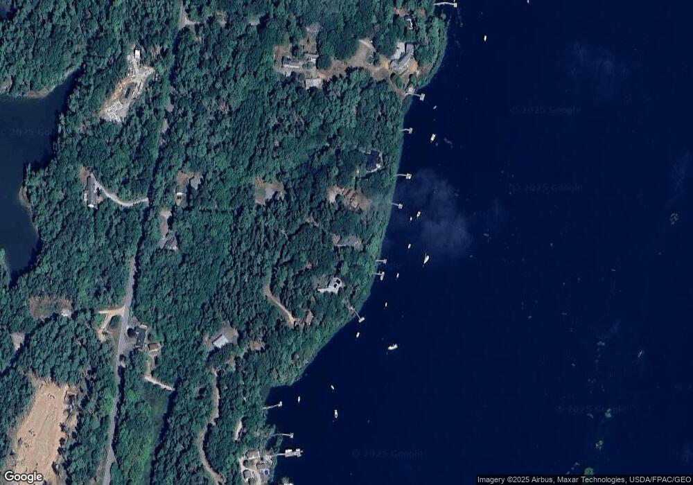
Map
Nearby Homes
- 11 Orion Point Way
- 37 & 38 S Dyers Cove Rd
- 136 Bethel Point Rd
- lot C Long Point Rd
- 943 Cundys Harbor Rd
- 242 Long Reach Ln
- 205 W Cundys Point
- 0 Bayview Rd Unit 2 1632776
- 270 Harpswell Neck Rd
- 20 Long Point Island
- Lot 2A Allen Point Rd
- Lot 2B Allen Point Rd
- Lot 129 Harpswell Neck Rd
- 41 Spruce Brook Dr
- 93 Abbot Cove Rd
- 1 Mallard Pond Rd
- 646 Gurnet Rd
- 29 & 30 Nob Hill Ave
- 1689 Harpswell Islands Rd
- Map 80 Lot 18-0 White Island
- 13 N Ledges Rd
- 8 Wentworth Ln
- 15 N Ledges Rd
- 17 Winterberry Ln
- 23 Hog Tide Ln
- 11 Hog Tide Ln
- 21 N Ledges Rd
- 27 N Ledges Rd
- 5 Winterberry Ln
- 11 Skywatch Ln
- 28 Acadia Rd
- 22 Acadia Rd
- 0 Winterberry
- 4 Winterberry Ln
- 15 Guss Gully Rd
- 32 Acadia Rd
- 0 Guss Gully Rd Unit 932913
- 0 Guss Gully Rd Unit 1544129
- 93 Pinkham Point Rd
- 81 Pinkham Point Rd